
CEDAR FLAT GROUP CAMPGROUND
Campground · Fee not listed
Fast facts
- Cost
- Not listed. Check locally.
- Type
- Campground
- Phone
- 760-873-2500
- Coordinates
- 37.2770, -118.1515
- Last verified
- September 19, 2026
About this place
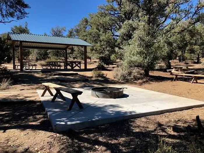
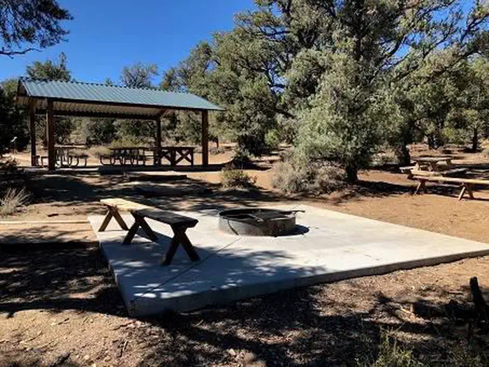
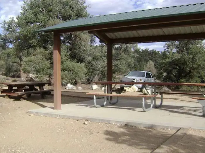
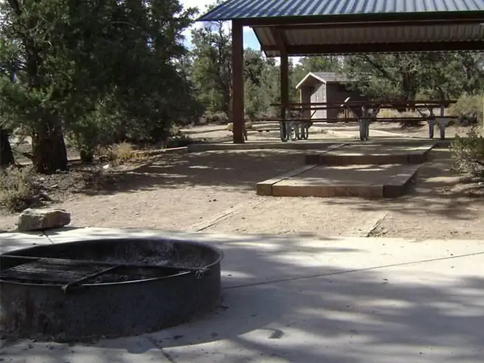
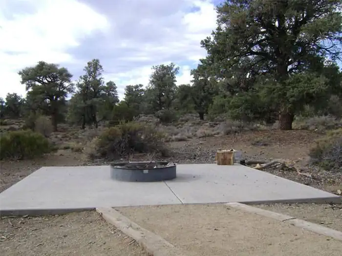
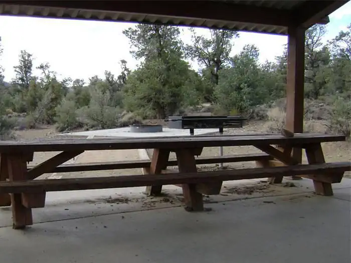
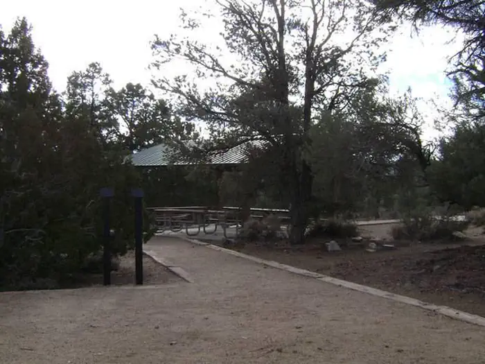
Overview Cedar Flat Group sites are popular with academic institutions for geology field trips. With no nearby light sources, the night sky is brilliant for star gazing and night photography. Recreation A perfect location for star gazing, geology and hiking. Facilities Three large group camp sites can accommodate between 25 and 50 people. Each has a picnic shelter with table, campfire ring and vault toilet. There is no water at this location nor is there a natural water source. The nearest source for water, food, or fuel is 12 miles away in the town of Big Pine, CA. Natural Features Cedar Flat is in the Inyo National Forest, east of the Owens Valley in the White Mountains. The campsites are at an elevation of 7,300ft. and located in an arid landscape dotted with pinyon and juniper trees, rabbit brush and sage. Nearby Attractions White Mountain Peak is the third highest peak in California at 14,246 feet. Trails in the Ancient Bristlecone Pine Forest lead to the oldest living trees in the world.
From the managing agency.
Is CEDAR FLAT GROUP CAMPGROUND free?
We do not have a fee on record for CEDAR FLAT GROUP CAMPGROUND. Confirm the cost locally before you go.
How do I get to CEDAR FLAT GROUP CAMPGROUND?
CEDAR FLAT GROUP CAMPGROUND is at 37.2770, -118.1515. We do not hold written directions for this one, so navigate to the coordinates.
Nearby
- Nelson Group Camp0.2 mi
- Noren Group Camp0.2 mi
- Ferguson Group Camp0.3 mi
- Grandview Campground4.5 mi
- Sage Flat Campground17.6 mi
- Upper Sage Campground18.1 mi
- BIG PINE CANYON18.1 mi
- Big Pine Canyon Group- Clyde Glacier Cam18.1 mi
No other services within 50 mi on the record.
SourceSource data is agency published. Last synced September 19, 2026. Community reports and photos are submitted by travelers and are not verified by the agency.
