
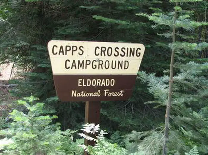
CAPPS CROSSING
Campground · Fee not listed
Fast facts
- Cost
- Not listed. Check locally.
- Type
- Campground
- Phone
- 831-245-6891
- Nearest dump station
- French Meadows Rv Dump Station · 32.9 mi
- Nearest water fill
- Indian Creek Camp Ground-Potable Water · 34.2 mi
- Coordinates
- 38.6511, -120.4061
- Last verified
- September 19, 2026
About this place
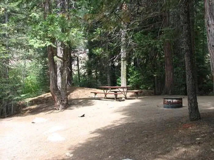
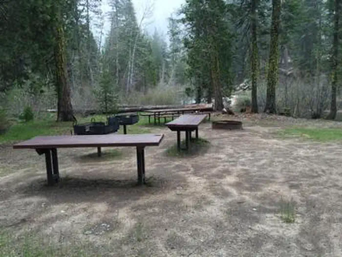
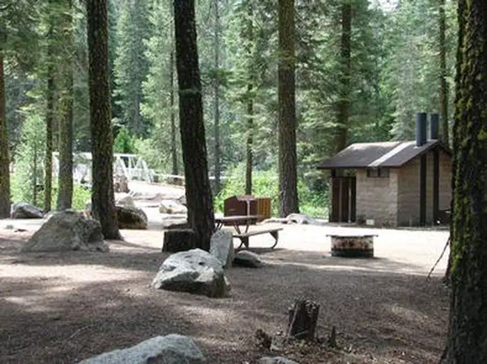
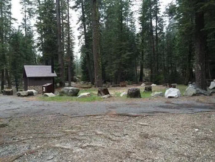
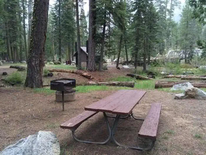
Overview Capps Crossing is located on the North Fork of the Cosumnes River. The campground is located in a forested area and is well shaded during the day. Hiking trails and rock climbing areas are nearby. Recreation Wading is possible in the North Fork Cosumnes River. Fishing is an option and a good spot for swimming is nearby. While exploring the river, it's not uncommon to see people panning for gold. Gold-seeking hobbyists maintain the excitement of the old days of gold mining in the region. Facilities Capps Crossing is a unique campground. It is designed for groups, by reservation, and can accommodate 42 people. When the campground is not reserved for groups, the individual sites may be used on a first-come, first-served basis. Individual sites are limited to one vehicle and six people. Campsites 2-5 are for tents only and sites 1, 6, and 7 can fit RVs. Individual sites are arranged in a single loop that forms the group site. Natural Features Capps Crossing sits at an elevation of 5,100 feet, in the shade of cedar and fir trees. A Mediterranean climate extends over most of the forest, creating warm, dry summers and cold, wet winters. Nearby Attractions Visitors enjoy taking scenic drives to many overlooks in the area. Fishing, hiking, bird watching, and close proximity to off-highway vehicle routes are some of the attractions of Capps Crossing. Charges & Cancellations Recreation Fee: Recreation fees are the fees a visitor pays for things like overnight camping, a day-use pavilion, group facilities, a tour or a permit. Recreation fees vary by location and/or activity. Reservation Fee: A fee may be charged at the time a reservation is made to cover the cost of reservation services. This fee is in addition to the Recreation Fee and is non-refundable. Fees for camping, day use, group sites, cabins and lookouts: $8 if made on-line; $9 if made through the call center; $3 if made in-person. Change Fee: A service fee may be charged at the time a modification is made depending on the changes. Cancellation Fee: Customers who cancel a group overnight facility reservation less than 14 days before the arrival date will pay a $10.00 service fee AND forfeit the first night's use fee.. Cut-Off Window: The latest date and/or time that you can make an advanced reservation or a change to an existing reservation. Cut-off windows can vary by location, but are typically 14 days before your arrival date. Late Cancellation: If you cancel your reservation too close to the start date, additional service fees may be withheld.
From the managing agency.
Is CAPPS CROSSING free?
We do not have a fee on record for CAPPS CROSSING. Confirm the cost locally before you go.
How do I get to CAPPS CROSSING?
CAPPS CROSSING is at 38.6511, -120.4061. We do not hold written directions for this one, so navigate to the coordinates.
Nearby
- Capps Crossing Group Campground0.1 mi
- PIPI CAMPGROUND5.6 mi
- Pipi Campground6.1 mi
- Middlefork Cosumnes Campground7.4 mi
- Middle Fork Cosumnes Campground7.4 mi
- Sand Flat Campground8.9 mi
- BRIDAL VEIL GROUP AREA AND PICNIC GROUND9.0 mi
- HARVEY WEST CABIN10.1 mi
- French Meadows Rv Dump Station32.9 mi
- Indian Creek Camp Ground-Potable Water34.2 mi
SourceSource data is agency published. Last synced September 19, 2026. Community reports and photos are submitted by travelers and are not verified by the agency.
