
BRIDAL VEIL GROUP AREA AND PICNIC GROUND
Campground · Fee not listed
Fast facts
- Cost
- Not listed. Check locally.
- Type
- Campground
- Phone
- 831-245-6891
- Nearest dump station
- French Meadows Rv Dump Station · 25.2 mi
- Nearest water fill
- Indian Creek Camp Ground-Potable Water · 37.7 mi
- Coordinates
- 38.7664, -120.4825
- Last verified
- September 19, 2026
About this place
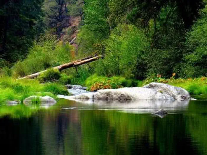
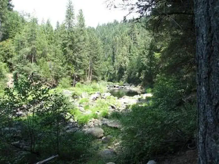
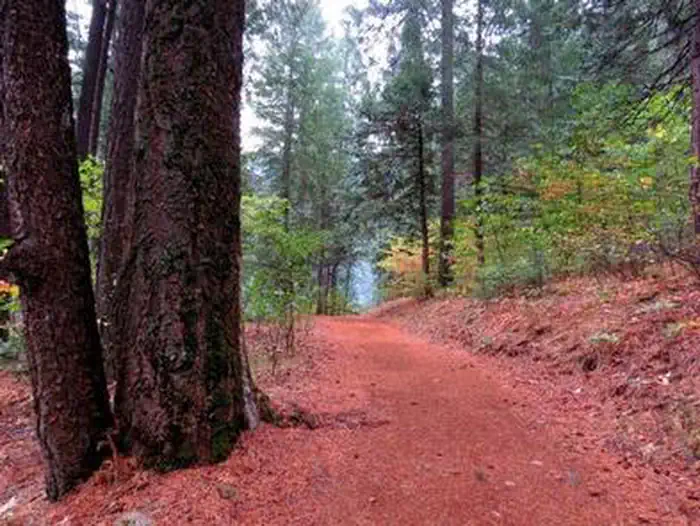
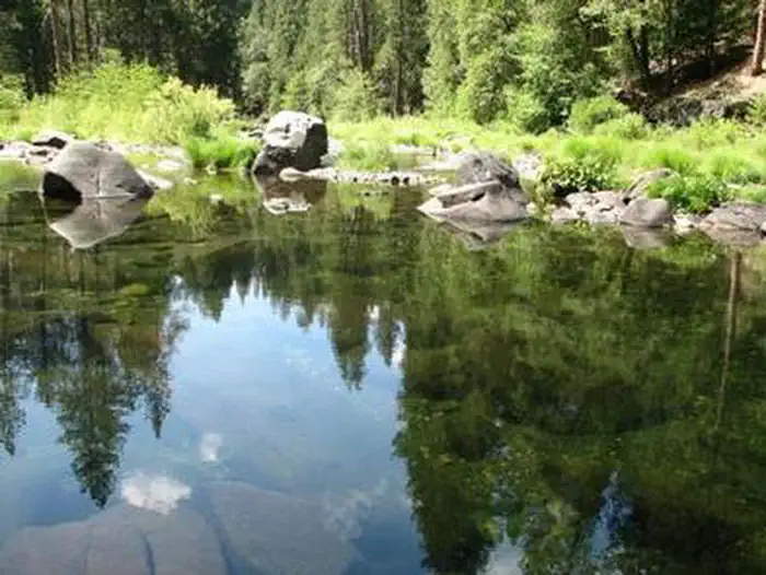
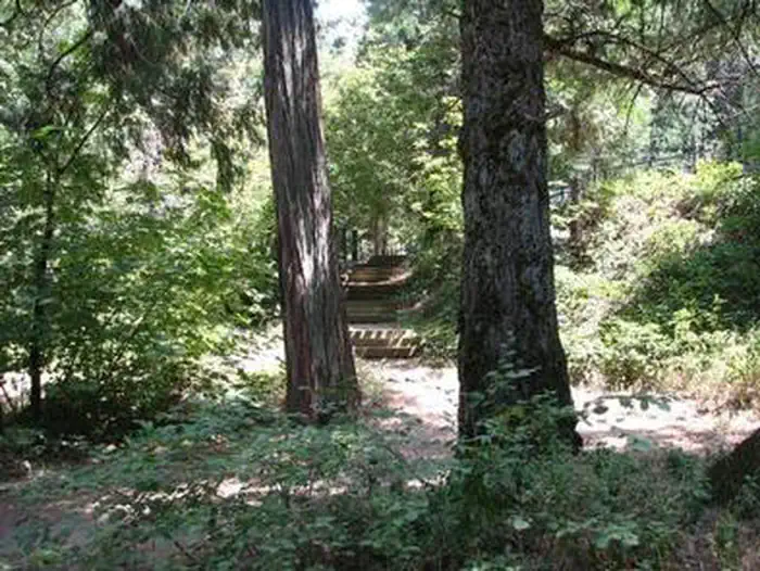
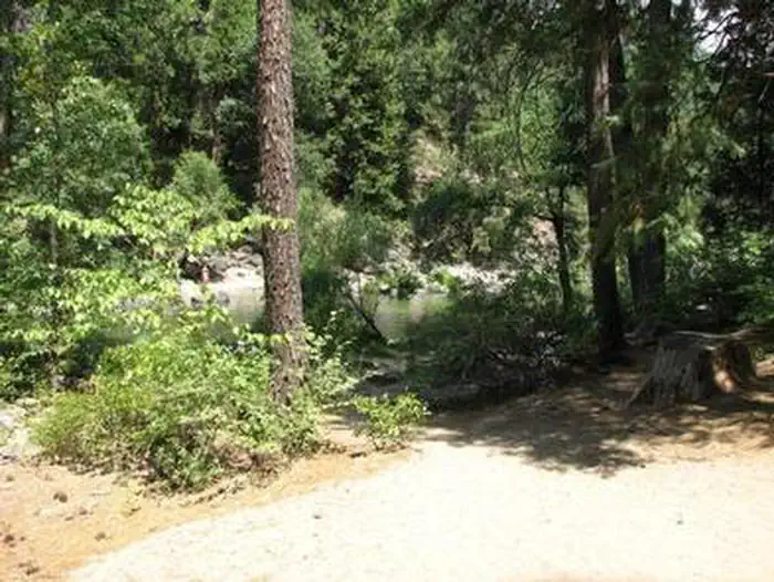
Overview Bridal Veil Group Campsite and Picnic Area is located on the South Fork of the American River. It offers picnicking sites, a group overnight area, beautiful swimming holes, and close access to fishing. Recreation This site provides two large swimming holes in the river that are popular with the local residents. Fishing is also a popular activity, mainly rainbow and brown trout. Facilities Bridal Veil Group Area is on a hill overlooking the river and day use area. The group area includes lot-style parking with 7 parking stalls, 5 tent pads, 8 picnic tables, 6 serving tables, and a large group fire ring. Group campsite users may use the day use areas with no additional fees. None of the facility is accessible. There is no water available on site. The facility has a host on site from mid-May through mid-October. Natural Features Sitting at an elevation of 3,200 feet, Bridal Veil group campsite provides easy access to the American River. A Mediterranean climate extends over most of this forest, creating warm, dry summers, and cold, wet winters. Vegetation is mixed conifers with riparian vegetation along the river. Nearby Attractions Visitors enjoy scenic drives along Highway 50 and surrounding forest roads. The site is within a half hour drive of both Jenkinson Lake and Crystal Basin. It is 10 minutes from the stores and restaurants of Pollock Pines and 5 minutes from Bridal Veil Falls. South Lake Tahoe is a 45 minute drive. Charges & Cancellations Recreation Fee: Recreation fees are the fees a visitor pays for things like overnight camping, a day-use pavilion, group facilities, a tour or a permit. Recreation fees vary by location and/or activity. Reservation Fee: A fee may be charged at the time a reservation is made to cover the cost of reservation services. This fee is in addition to the Recreation Fee and is non-refundable. Fees for camping, day use, group sites, cabins and lookouts: $8 if made on-line; $9 if made through the call center; $3 if made in-person. Change Fee: A service fee may be charged at the time a modification is made depending on the changes. Cancellation Fee: Customers who cancel a group overnight facility reservation less than 14 days before the arrival date will pay a $10.00 service fee AND forfeit the first night's use fee.. Cut-Off Window: The latest date and/or time that you can make an advanced reservation or a change to an existing reservation. Cut-off windows can vary by location, but are typically 14 days before your arrival date. Late Cancellation: If you cancel your reservation too close to the start date, additional service fees may be withheld.
From the managing agency.
Is this site free?
We do not have a fee on record for this site. Confirm the cost locally before you go.
How do I get to this site?
this site is at 38.7664, -120.4825. We do not hold written directions for this one, so navigate to the coordinates.
Nearby
SourceSource data is agency published. Last synced September 19, 2026. Community reports and photos are submitted by travelers and are not verified by the agency.
