
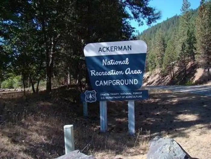
ACKERMAN CAMPGROUND
USFS · Campground · Fee
Fast facts
- Cost
- Fee charged
- Managed by
- USFS
- Type
- Campground
- Hours
- Open 24 hours/day
- Reservations
- fs.usda.gov
- Phone
- 530-275-8113
- Nearest dump station
- Old Station Dump Site · 71.1 mi
- Coordinates
- 40.7856, -122.7717
- Last verified
- September 19, 2026

About this place
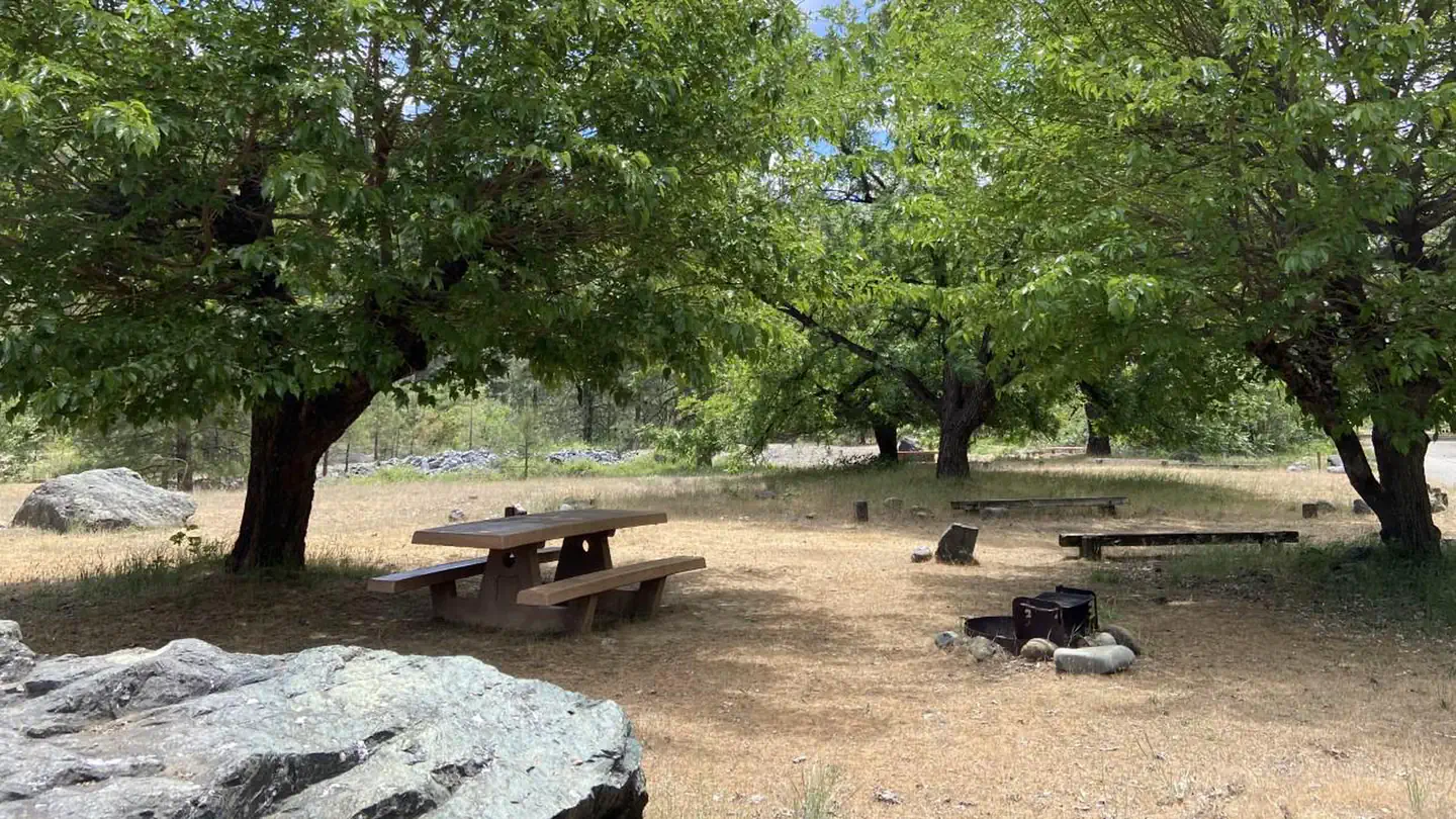
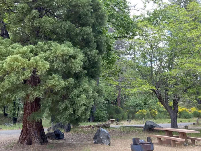
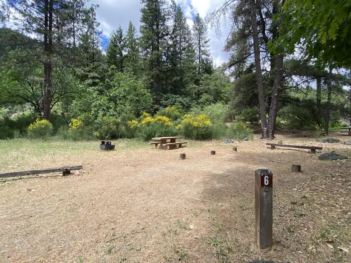
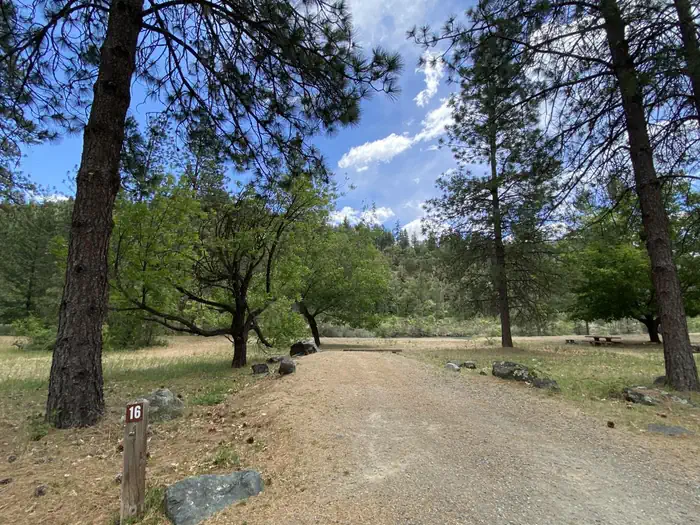
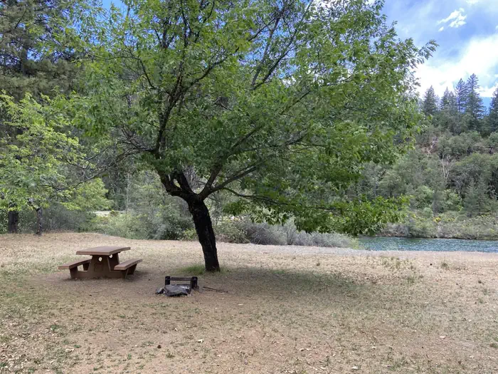
Overview Ackerman Campground is a lakeside facility that's a favorite of fishermen. It is located in the beautiful Trinity Lake/Weaverville Area of Shasta-Trinity National Forest, which is part of the Whiskeytown-Shasta-Trinity National Recreation Area. The campground is open year-round for walk-ins. Reservations are accepted May 21st through September 10th. Recreation The area offers excellent opportunities for fishing, boating and wildlife viewing. Lewiston Lake is 610 acres and offers good fishing for kokanee salmon, as well as rainbow, brown and brook trout. There are two accessible boat ramps near this facility. Fairview boat ramp access to Trinity Lake is 3 miles north and Pine Cove boat ramp access to Lewiston Lake is 2 miles south. Motorized boats are limited up to 10 miles per hour. Lewiston Lake is a popular destination for kayakers. Hikers can enjoy the 2-mile North Lakeshore Trail. Facilities This campground can accommodate trailers and RVs up to 40 feet. Each site is equipped with a picnic table and a campfire ring with grill. The parking spurs are either grass or gravel. Natural Features The campground is situated at an elevation of 1,900 feet on the western shore of Lewiston Lake at the base of Trinity Dam. Some deciduous and conifer trees are found around the campground, but it is mostly unshaded. Cold, crystal-clear Lewiston Lake is roughly 5 miles long and a half-mile wide. It features a mountainous shoreline and a topography that ranges from marshlands to dense forest. Charges & Cancellations
From the USFS.
Is ACKERMAN CAMPGROUND free?
No. ACKERMAN CAMPGROUND charges a fee. It is managed by the USFS. Sites are reservable through fs.usda.gov.
How do I get to ACKERMAN CAMPGROUND?
From Weaverville, take Hwy 3 north for 7 miles. Turn right on Rush Creek Road for 9 miles. Turn left on Trinity Dam Blvd for 7.5 miles.
Nearby
SourceData from the USFS. Last synced September 19, 2026. Community reports and photos are submitted by travelers and are not verified by the agency.
