
STOCKTON PASS
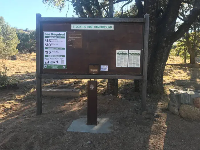
Campground · Fee
Fast facts
- Cost
- Fee charged
- Type
- Campground
- Phone
- 928-428-4150
- Nearest dump station
- Big Lake Dump Station Dump Station · 92.5 mi
- Coordinates
- 32.5917, -109.8494
- Last verified
- September 19, 2026




About this place
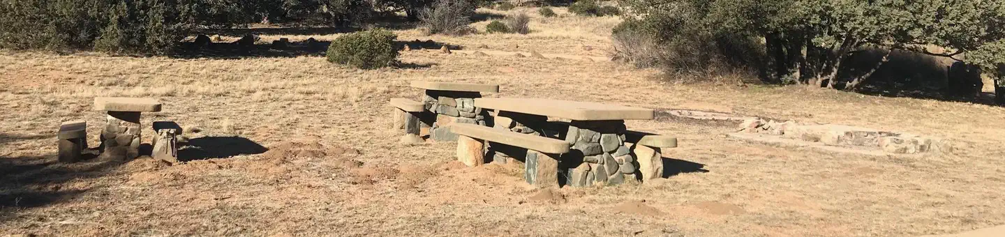
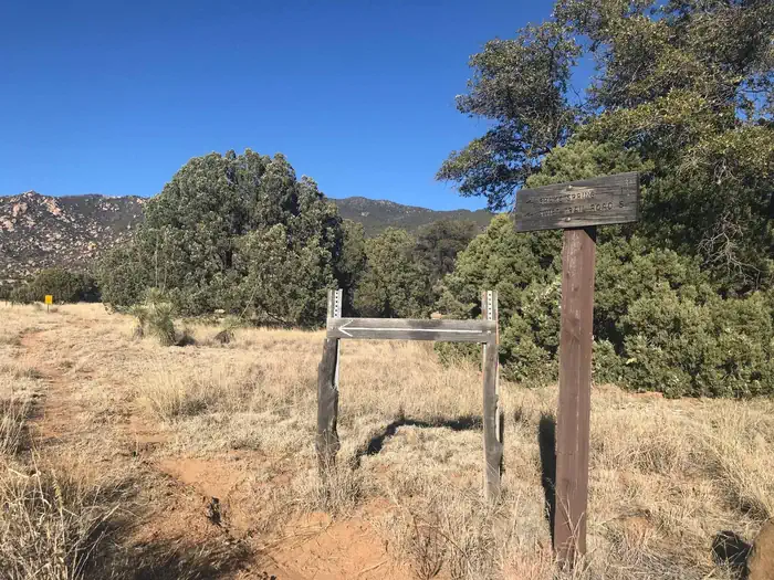
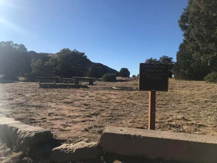
Overview Named after "Old Man Stockton," a rancher who settled in this area in the 1870s, Stockton Campground lies off the beaten path in the high desert of the Pinaleño Mountains in southeastern Arizona. Groups of up to 30 people can come here to camp and enjoy hiking, picnicking and wildlife viewing. The facility is located on a beautiful scenic drive with panoramic views of the mountains. Recreation A leisurely drive on SR 266 reveals large cattle ranges, rugged mountain ranges, and broad grasslands dotted with desert plants, a true southwestern experience. The Pass is open year-round, though summer can bring soaring temperatures and muddy rainstorms. The area offers excellent hiking, and trails are easily accessed from the campground. The Shake Trail #309 winds through the high desert landscape and begins a climb that continues to the Swift Trail, high in the Pinaleño Mountains. The campground’s setting is also inviting for an afternoon picnic, with tables set in a desert grassland with the occasional oak, manzanita tree, or cactus. Facilities Stockton Pass has one group camping area that can be reserved by a single group of up to 30 people at a time. Amenities include vault toilets, several picnic tables, pedestal grills and campfire rings with grills. Bear-proof trash cans are provided to keep visitors and wildlife safe. Several first-come, first-served individual sites are located nearby (must pay separately). Dead-and-downed firewood may be collected in and around the campsite. Natural Features This site encompasses an area of beautiful desert grassland mixed with oak woodlands. Many species of birds and wildlife live in the area, including deer, black bear and mountain lions. Stockton Pass serves as a route over the Pinaleño Mountains into Sulphur Springs Valley. The campground is located at the apex of the pass and offers good views of the south slopes of some of the mountain range's highest peaks, as well as views of surrounding valleys and mountains. With an elevation of 5,600 feet, temperatures are cooler than the surrounding low deserts in summer but still allow for camping in fall and winter. The Coronado National Forest covers 1.78 million acres of southeastern Arizona and southwestern New Mexico. Elevations range from 3,000 to 10,720 feet in 12 widely scattered mountain ranges, or "sky islands," that rise dramatically from the desert floor, supporting biologically diverse plant communities. Nearby Attractions SR 266 West will take you out to the Galiuro Wilderness area, equipped with a variety of additional trails, including the West Divide Trail #289/Powers Garden Trail #96, which will bring you to the Power’s Family Cabin. The Power’s family were pioneers that farmed, ranged and mined in the Rattlesnake Canyon in the early 1900s until three members of the family were involved in a gunfight with law officers on a gold claim they were working. Two of the members escaped, at the time becoming the object of one of the longest manhunts in Arizona’s history. SR 266 East will bring you back to SR 191, where you could continue heading north to reach the town of Safford (approximately a 1 hour drive from the Stockton Pass campground). Safford is home to our Ranger Station, where you can go to find information about trails, camping, hunting and fishing, and other questions you may have about our district (open Monday-Friday, 8am-4:30pm). Charges & Cancellations Please review the Rules & Reservations Policies page on recreation.gov
From the managing agency.
Is STOCKTON PASS free?
No. STOCKTON PASS charges a fee.
How do I get to STOCKTON PASS?
STOCKTON PASS is at 32.5917, -109.8494. We do not hold written directions for this one, so navigate to the coordinates.
Nearby
SourceSource data is agency published. Last synced September 19, 2026. Community reports and photos are submitted by travelers and are not verified by the agency.
