
UPPER ARCADIA
Campground · Fee
Fast facts
- Cost
- Fee charged
- Type
- Campground
- Phone
- 928-428-4150
- Nearest dump station
- Big Lake Dump Station Dump Station · 88.2 mi
- Coordinates
- 32.6494, -109.8186
- Last verified
- September 19, 2026
About this place
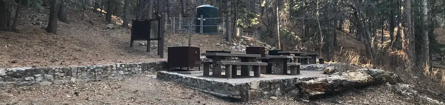
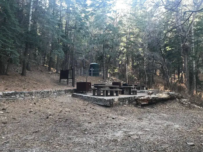
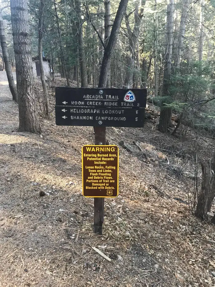
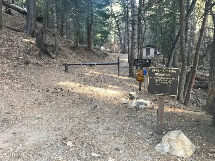
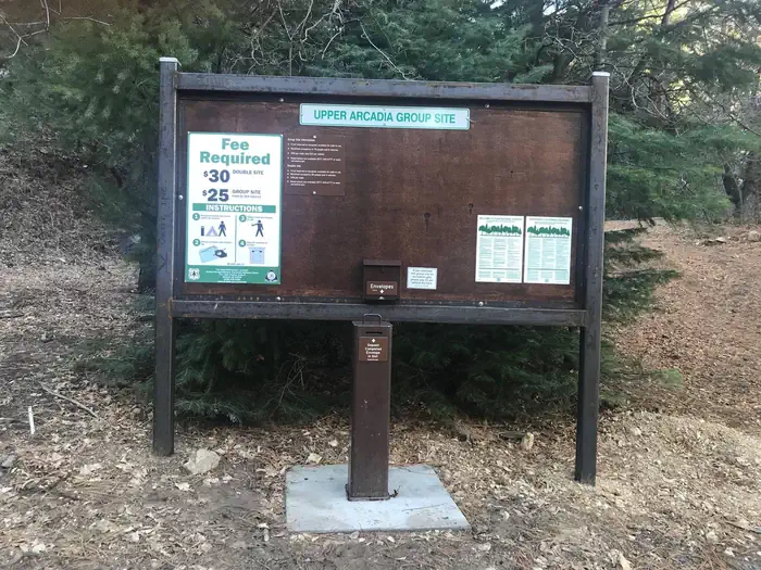
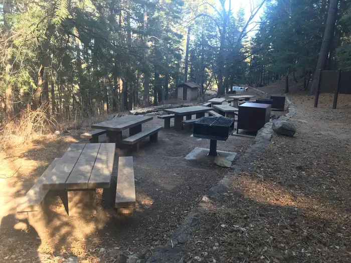
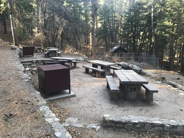
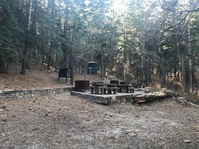
Overview Upper Arcadia sits along Swift Trail in southeastern Arizona, providing an escape from desert heat and a pleasant place to take in the high desert scenery in spring and fall. Visitors enjoy hiking, camping, birding and picnicking. Recreation The campground lies along the Swift Trail Scenic Drive, which takes visitors from the Sonoran Desert at 2,900 feet to alpine meadows and forest on the 9,000+ foot ridges of the Pinaleño Range. Because of its diverse habitat, the area is well-known for birding and wildlife watching. The Swift Trail provides access to a number of hiking, horseback riding and mountain biking trails, along with several other campgrounds that invite you for an afternoon picnic. A trip up to Riggs Lake, stocked with trout by Arizona Game & Fish, or to the Columbine Visitors Center could make a worth-while day trip as well. The Arcadia Trail #328 starts at the Upper Arcadia Campground and leads up the mountain to Shannon Campground. A 1-mile spur off this trail leads to the top of Heliograph Peak, one of the highest mountains in southeastern Arizona. Facilities The group camping area can accommodate up to 75 people. Amenities include drinking water (available seasonally), vault toilets, picnic tables, and campfire rings with grills. Bear-proof food lockers and trash cans are provided to keep visitors and wildlife safe. Dead-and-down firewood may be collected in and around the campsite. Several first-come, first-served sites are located nearby (must pay separately). Natural Features The shady campground is in a thick forest of tall ponderosa pines interspersed with Gambel oaks and Arizona walnuts, at an elevation of 6,700 feet. The Coronado National Forest covers 1.78 million acres of southeastern Arizona and southwestern New Mexico. Elevations range from 3,000 to 10,720 feet in 12 widely scattered mountain ranges, or "sky islands," that rise dramatically from the desert floor, supporting biologically diverse plant communities. Nearby Attractions The Mount Graham Wilderness Study Area, which includes the 10,720-foot Mount Graham, the tallest mountain in southern Arizona. Columbine Visitor Center, Riggs Lake, and a variety of trails can be accessed along the Swift Trail Scenic Drive. The town of Safford is approximately a 30 minute drive from the Upper Arcadia campground, heading north on SR 191. Safford is home to our Ranger Station, where you can go to find information about trails, camping, hunting and fishing, and other questions you may have about our district (open Monday-Friday, 8am-4:30pm). Charges & Cancellations Please review the Rules & Reservations Policies page on recreation.gov
From the managing agency.
Is UPPER ARCADIA free?
No. UPPER ARCADIA charges a fee.
How do I get to UPPER ARCADIA?
UPPER ARCADIA is at 32.6494, -109.8186. We do not hold written directions for this one, so navigate to the coordinates.
Nearby
SourceSource data is agency published. Last synced September 19, 2026. Community reports and photos are submitted by travelers and are not verified by the agency.
