
CHAVEZ CROSSING
USFS · Campground · Fee
Fast facts
- Cost
- Fee charged
- Managed by
- USFS
- Type
- Campground
- Reservations
- recreation.gov
- Phone
- 928-204-0028
- Nearest dump station
- Woods Canyon Dump Station · 59.6 mi
- Coordinates
- 34.8436, -111.7764
- Last verified
- September 19, 2026




About this place
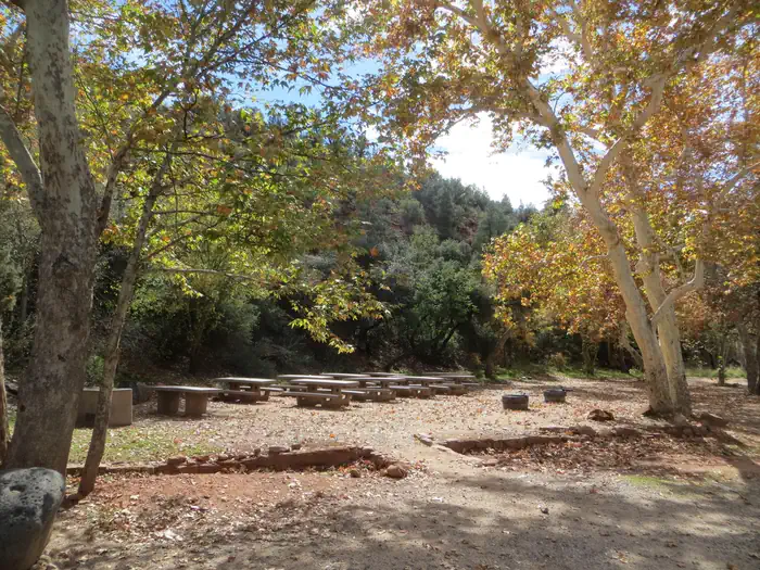
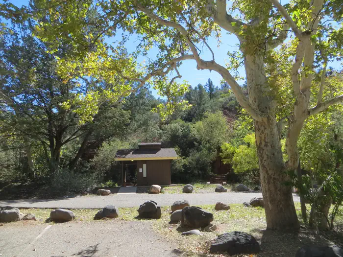
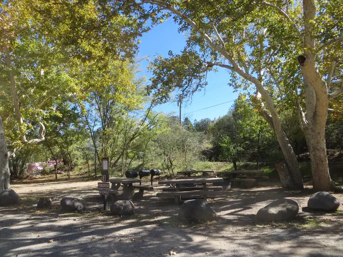
Overview Chavez Crossing Group Campground is in the picturesque Red Rock district of Arizona, with famous red rock formations and breathtaking painted sunsets. Placed beside a creek and surrounded by sycamore and cypress groves, the campground's location offers a fresh sense of the great outdoors. It's also conveniently close to developed entertainment like golf courses and stylish restaurants in the resort town of Sedona. Drive through Oak Creek Canyon to view majestic red-hued cliffs, buttes, and canyons. At night, relax by the campfire at your site or take advantage of Sedona's trendy shopping and nightlife. Recreation Go wading or fishing in the crystal clear waters of Oak Creek or take a stroll with your camera to photograph the unique flora, fauna and rock formations. Cathedral Rock and Bell Rock are famous nearby attractions, perfect for exploring or photographing. Facilities The campground's location makes it a convenient place to mix outdoors time with shopping trips in the resort town of Sedona. Three group sites are available, and all three can be reserved for a total capacity of 110. Natural Features Chavez Crossing is in a high desert region situated at the base of the Mogollon Rim, a 200-mile long slope that ranges between 5,000 and 7,000 ft elevation. The unique landscape creates erosion that has shaped spectacular canyons and buttes that make the region an appealing attraction. Contact Info For facility specific information, please call (928) 203-0624. Nearby Attractions A variety of hiking trails and swimming holes are a short drive away. Seek out your favorite panoramic views at Munds Mountain Wilderness, or explore the Red Rock/Secret Mountain Wilderness area in the heart of Oak Creek Canyon. Here, you can find abandoned dwellings and rock art from early inhabitants.
From the USFS.Official page
Is CHAVEZ CROSSING free?
No. CHAVEZ CROSSING charges a fee. It is managed by the USFS. Sites are reservable through recreation.gov.
How do I get to CHAVEZ CROSSING?
CHAVEZ CROSSING is at 34.8436, -111.7764. We do not hold written directions for this one, so navigate to the coordinates.
Nearby
SourceData from the USFS. Last synced September 19, 2026. Community reports and photos are submitted by travelers and are not verified by the agency.
