
CAVE SPRING
Campground · Fee not listed
Fast facts
- Cost
- Not listed. Check locally.
- Type
- Campground
- Phone
- 928-282-1629
- Nearest dump station
- Woods Canyon Dump Station · 65.0 mi
- Coordinates
- 34.9964, -111.7392
- Last verified
- September 19, 2026

About this place
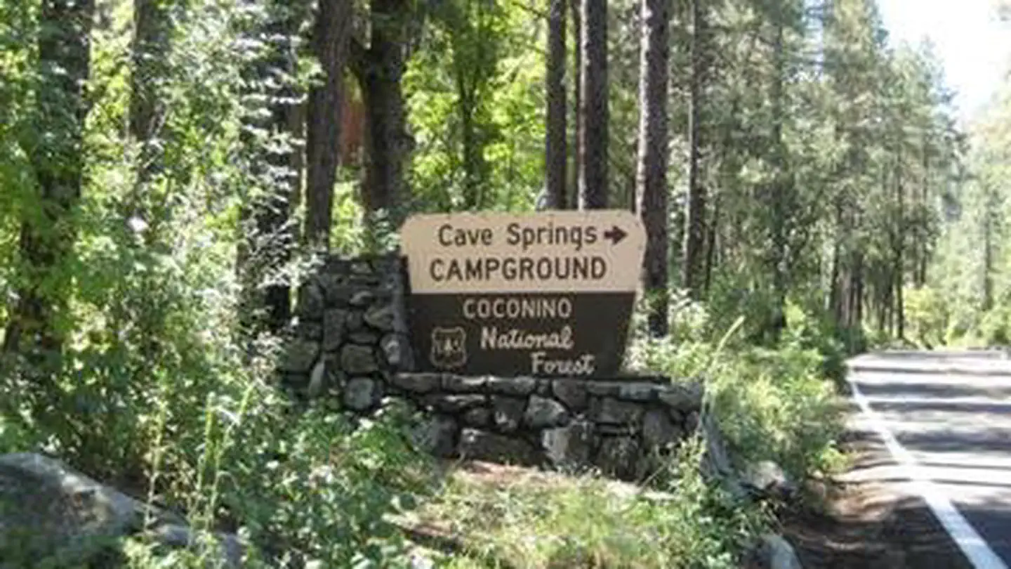
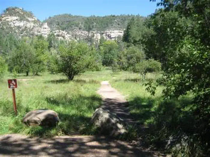
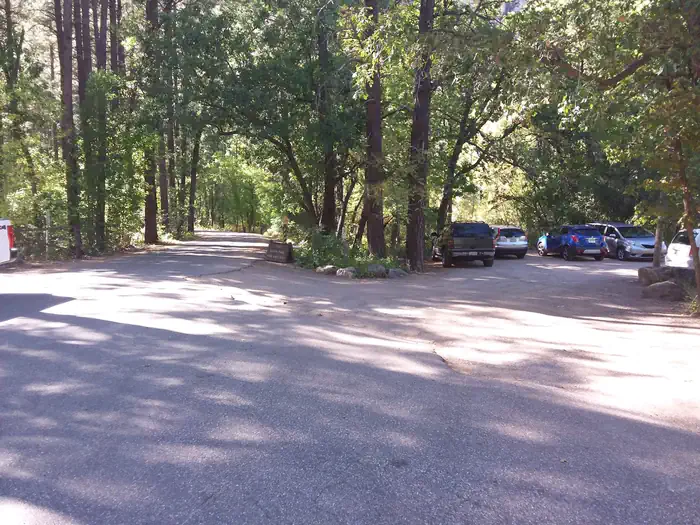
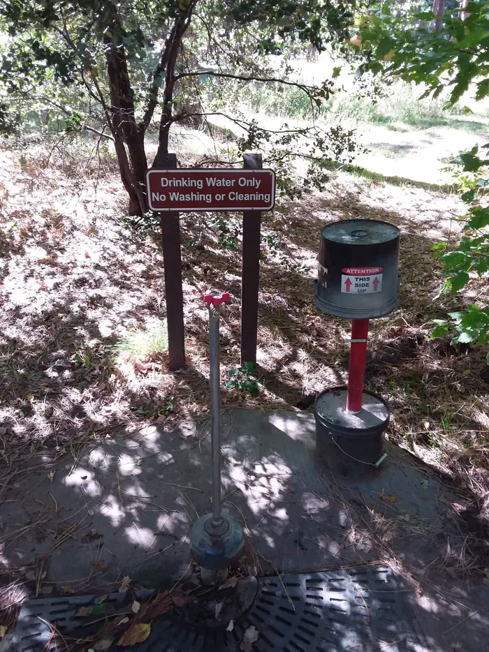
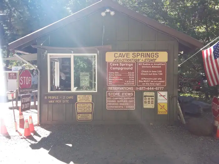
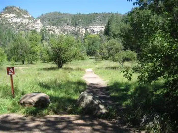
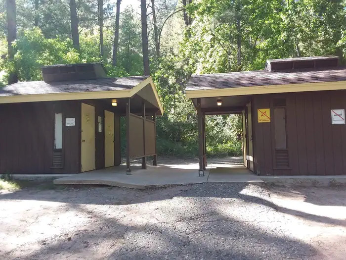
Overview Cave Springs sits in the scenic Oak Creek Canyon and is one of Coconino National Forest's most popular campgrounds. The campground is nestled in a forested canyon near the town of Sedona, Arizona, and its famous red rock cliffs. The scenery is unmatched, the stream is stocked with trout, and swimming, hiking and birding spots are nearby. Recreation There are several hiking trails in the vicinity. Some lead up the canyon slopes to offer good views of the surrounding scenery. The creek is bordered with paths that lead along its picturesque course, offering great bird watching and fishing. Facilities Cave Spring is a large campground with 84 campsites, including one tent-only site. All sites have picnic tables, campfire rings and cooking grills. Token-operated showers, drinking water and vault restrooms are provided for convenience. The facility can host RVs, trailers and motor homes up to 36-ft. Natural Features The area is a heavily wooded, lush riparian zone. Campsites are located in a shady stand of ponderosa pines in the upper reaches of the canyon. Many of the campsites are located right on the banks of Oak Creek. The creek has crystal clear, cool water that is refreshing on hot summer days. Nearby Attractions The nearest town is Sedona, popular for its red rock vistas, resorts and shopping. One of Arizona's best swimming spots, Slide Rock State Park, is down the road. Campers can also explore the 1.8-million acre Coconino National Forest, which boasts a spectacular variety of scenery and outdoor activities. Contact Info For facility specific information, please call (928) 203-0624.
From the managing agency.
Is CAVE SPRING free?
We do not have a fee on record for CAVE SPRING. Confirm the cost locally before you go.
How do I get to CAVE SPRING?
CAVE SPRING is at 34.9964, -111.7392. We do not hold written directions for this one, so navigate to the coordinates.
Nearby
SourceSource data is agency published. Last synced September 19, 2026. Community reports and photos are submitted by travelers and are not verified by the agency.
