
CAVE CREEK GROUP SITE
Campground · Fee
Fast facts
- Cost
- Fee charged
- Type
- Campground
- Phone
- 480-595-3300
- Nearest dump station
- Woods Canyon Dump Station · 58.1 mi
- Coordinates
- 33.9753, -111.8658
- Last verified
- September 19, 2026
About this place
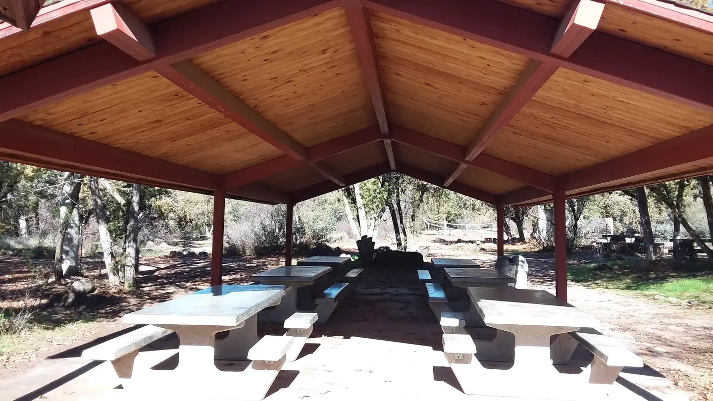
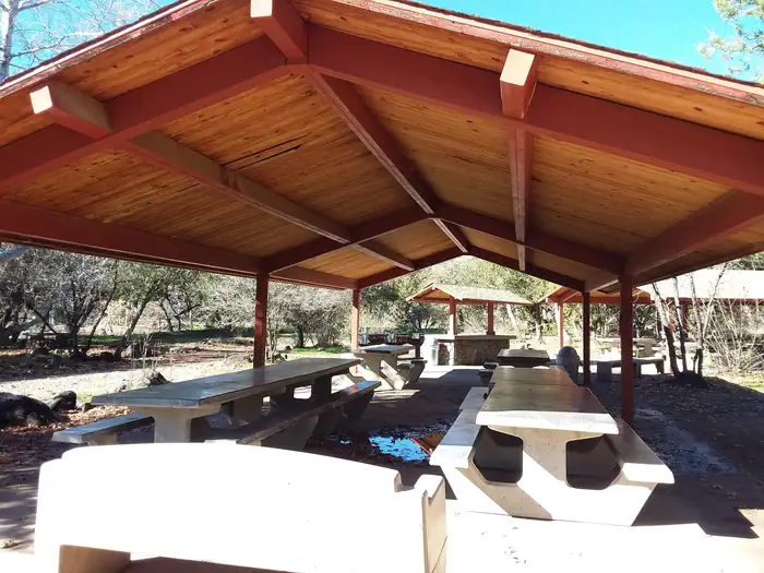
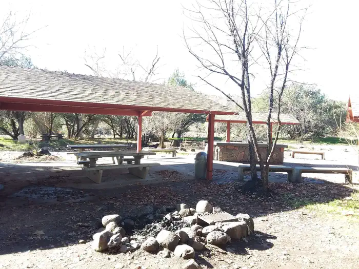
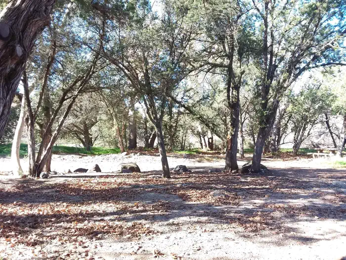
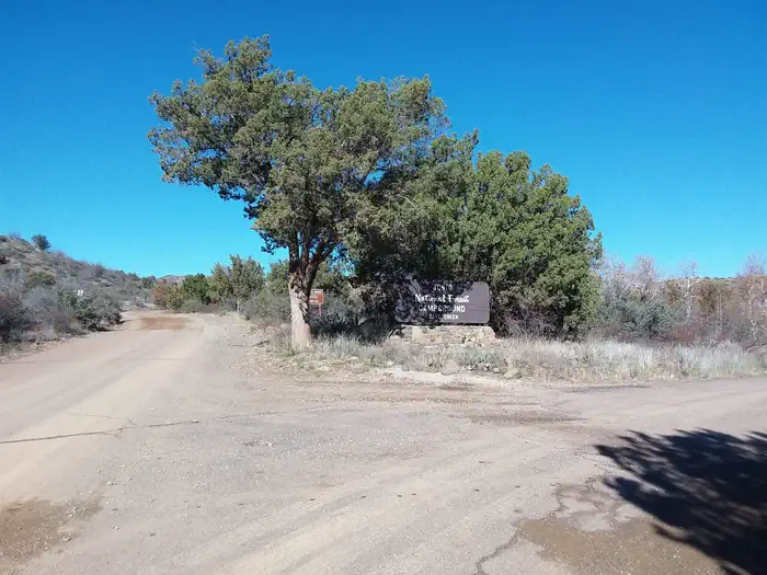
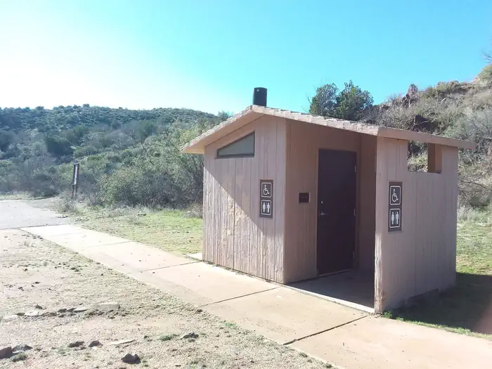
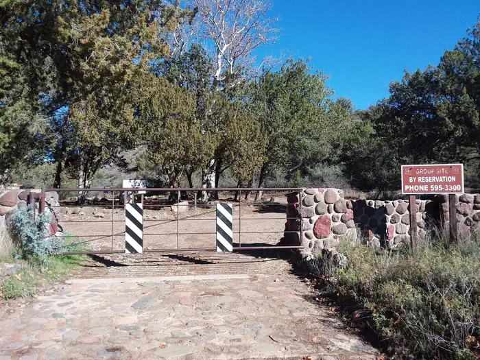
Overview Cave Creek Group Site is located 20 miles north of Cave Creek and Carefree, Arizona. It is a historic campground constructed in the 1930s by the Civilian Conservation Corps (CCC). This site is a short drive from the blistering heat of Phoenix offering cooler temps, a clear running creek, and plentiful shade to relax and enjoy nature. With food prep areas, grills and covered picnic tables, you're all set for a weekend with your loved ones you'll never forget! Recreation At this site you'll enjoy camping, hiking, mountain biking, picnicking, sightseeing, exploring, bird and wildlife viewing, and there is even a game area for volleyball and horseshoes. Facilities There are 12 picnic tables, three central grills, a covered food prep area and one serving table. The tables are stoneware consisting of deep crimson jasper interspersed with common fieldstone. There are also two large covered ramadas, four benches, a game area, campfire area, vault toilets, and trash service. Natural Features This group campsite is nestled in a narrow valley of juniper and sycamore trees providing abundant shade. Water flowing through seven springs is minimal and only several inches in depth. The area has one large open camping area and a nearby trailhead offering access to over 48 miles of hiking and mountain biking trails. Bring your camera during springtime to get photos of the desert wildflowers in bloom. Nearby Attractions Across the road, Cave Creek trailhead offers over 48 miles of hiking trails - great for overnight backpacking trips. Bronco Trailhead further south, offers parking for 40 vehicles plus trailers and six horse pens. Just seven miles south is Sears-Kay ruin. Listed in the National Register of Historic Places, this site features the remains of an ancient Native American tribe's hilltop village. For spectacular scenic views take Forest Road 562 to Humboldt Mountain. Or, you can simply stay on site and observe nature and hunt for crawdads in the nearby creek.
From the managing agency.
Is CAVE CREEK GROUP SITE free?
No. CAVE CREEK GROUP SITE charges a fee.
How do I get to CAVE CREEK GROUP SITE?
CAVE CREEK GROUP SITE is at 33.9753, -111.8658. We do not hold written directions for this one, so navigate to the coordinates.
Nearby
SourceSource data is agency published. Last synced September 19, 2026. Community reports and photos are submitted by travelers and are not verified by the agency.
