
WAVELAND PARK
Campground · Fee not listed
Fast facts
- Cost
- Not listed. Check locally.
- Type
- Campground
- Phone
- 479-947-2101
- Coordinates
- 35.1075, -93.6581
- Last verified
- September 19, 2026
About this place
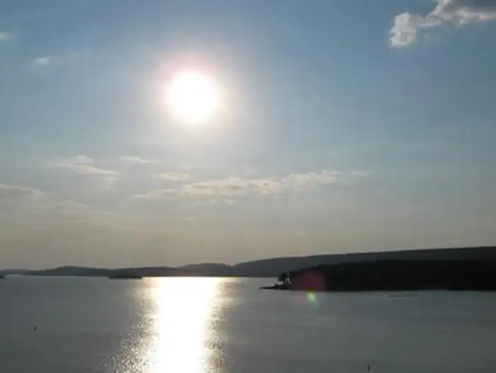
Overview Waveland Park Campground is located on the beautiful Blue Mountain Lake near Waveland, Arkansas. Visitors are greeted with shaded campsites, spectacular scenery and many outdoor recreation opportunities. Blue Mountain Lake provides the ideal spot to get away from it all, relax and enjoy fishing, boating, hunting, hiking and more. Recreation Families, anglers, boaters, hikers, water skiers and hunters are drawn to the lake for its recreational activities. Forests around the lake are also open to hunting. The lakeshore around Waveland Park Campground provides prime bank fishing opportunities for crappie, largemouth and white bass, bream and catfish. Families can make use of the playground and the shady, cypress tree-lined swimming area, as well as the amphitheater, which provides educational programs. The J. Perry Mikels Blue Mountain Special Use Area on the west end of the lake has a world-class bird dog field trial area that attracts visitors from throughout the United States and several other countries. Anyone may use the facilities to train dogs. Facilities Visitors can select from 51 shaded campsites (all reservable) with electric and water hookups, as well as one group picnic shelter for day use that can accommodate up to 150 people. Additional amenities include hot showers and a dump station. Anglers and boaters are attracted to the boat ramp and fish cleaning station. Natural Features Blue Mountain Lake is situated in the shadow of Mt. Magazine, the highest mountain in Arkansas and the tallest between the Rockies and Alleghenies. Farmland, rolling green mountains and two national forests surround the lake, adding to the natural beauty of the area. The lake shore consists of mixed pine and hardwood forests, wetlands and grasslands, which provide habitat for many native wildlife species. Nearby Attractions The lake is situated between the Ozark and Ouachita National Forest, and Mt. Magazine State Park is within a 30-minute drive. Additional information for local attractions is available at chambers of commerce in nearby towns.
From the managing agency.
Is WAVELAND PARK free?
We do not have a fee on record for WAVELAND PARK. Confirm the cost locally before you go.
How do I get to WAVELAND PARK?
WAVELAND PARK is at 35.1075, -93.6581. We do not hold written directions for this one, so navigate to the coordinates.
Nearby
- OUTLET AREA0.6 mi
- Cove Lake Campground8.2 mi
- COVE LAKE RECREATION AREA8.3 mi
- Jack Creek Campground11.9 mi
- Spring Lake Campground13.6 mi
- Spring Lake Recreation Area13.6 mi
- Sorghum Hollow14.9 mi
- SHOAL BAY19.0 mi
No other services within 50 mi on the record.
SourceSource data is agency published. Last synced September 19, 2026. Community reports and photos are submitted by travelers and are not verified by the agency.
