
SHOAL BAY
Campground · Fee not listed
Fast facts
- Cost
- Not listed. Check locally.
- Type
- Campground
- Phone
- 479-938-7335
- Coordinates
- 35.3100, -93.4306
- Last verified
- September 19, 2026

About this place
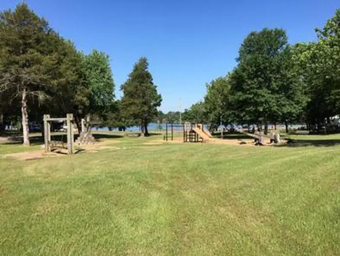
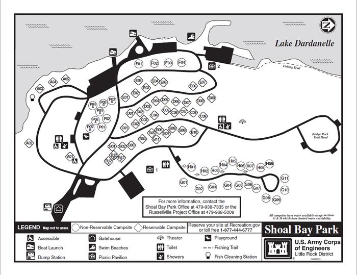
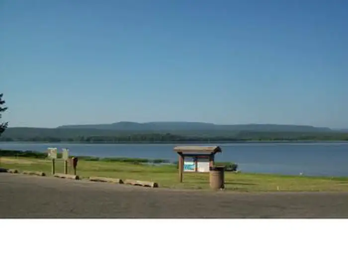
Overview Download a Shoal Bay park map HERE This shady campground sits on the scenic Shoal Bay arm of Lake Dardanelle, offering an excellent setting for boating, swimming and wildlife viewing. Recreation The lake, a popular spot for anglers, is brimming with white bass, largemouth bass, bream, crappie and large catfish. The Bridge Rock Trail winds along a rugged slope overlooking the narrows of Shoal Creek, offering excellent hiking opportunities. Dardanelle's Visitor Center is noteworthy for its "Renaissance of a River" theme. Interpretive exhibits express the progression of river valley from the time of early Native Americans to its present day. Facilities Shoal Bay offers 45 reservable campsites, most of which have electric hookups. Two large picnic shelters are also available. Amenities include a boat ramp, playground and hot showers. Natural Features Dardanelle Lake, sourced by the Arkansas River, spans 40,000 acres and boasts 315 miles of shoreline. The lake sits in the river valley between the Ozark and Ouachita National Forests. Nearby Attractions Bona Dea Trails and Sanctuary, with nearly 86 acres of wetlands and low woods, provide an ideal habitat for native wildlife. Visitors can explore the area on the 6 mile trail system.
From the managing agency.
Is SHOAL BAY free?
We do not have a fee on record for SHOAL BAY. Confirm the cost locally before you go.
How do I get to SHOAL BAY?
SHOAL BAY is at 35.3100, -93.4306. We do not hold written directions for this one, so navigate to the coordinates.
Nearby
- Sorghum Hollow4.1 mi
- Spadra8.4 mi
- PINEY BAY9.0 mi
- Spring Lake Campground11.0 mi
- Spring Lake Recreation Area11.0 mi
- Cove Lake Campground12.3 mi
- COVE LAKE RECREATION AREA12.4 mi
- OLD POST ROAD15.8 mi
No other services within 50 mi on the record.
SourceSource data is agency published. Last synced September 19, 2026. Community reports and photos are submitted by travelers and are not verified by the agency.
