
SPRINGHILL
Campground · Fee not listed
Fast facts
- Cost
- Not listed. Check locally.
- Type
- Campground
- Phone
- 479-452-4598
- Coordinates
- 35.3411, -94.2969
- Last verified
- September 19, 2026
About this place
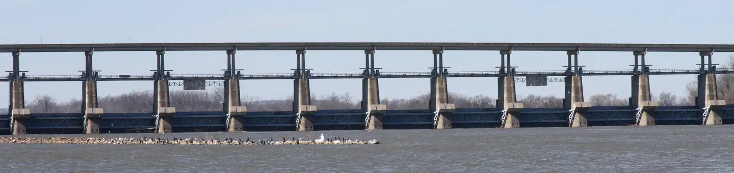
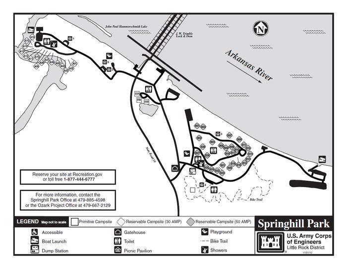
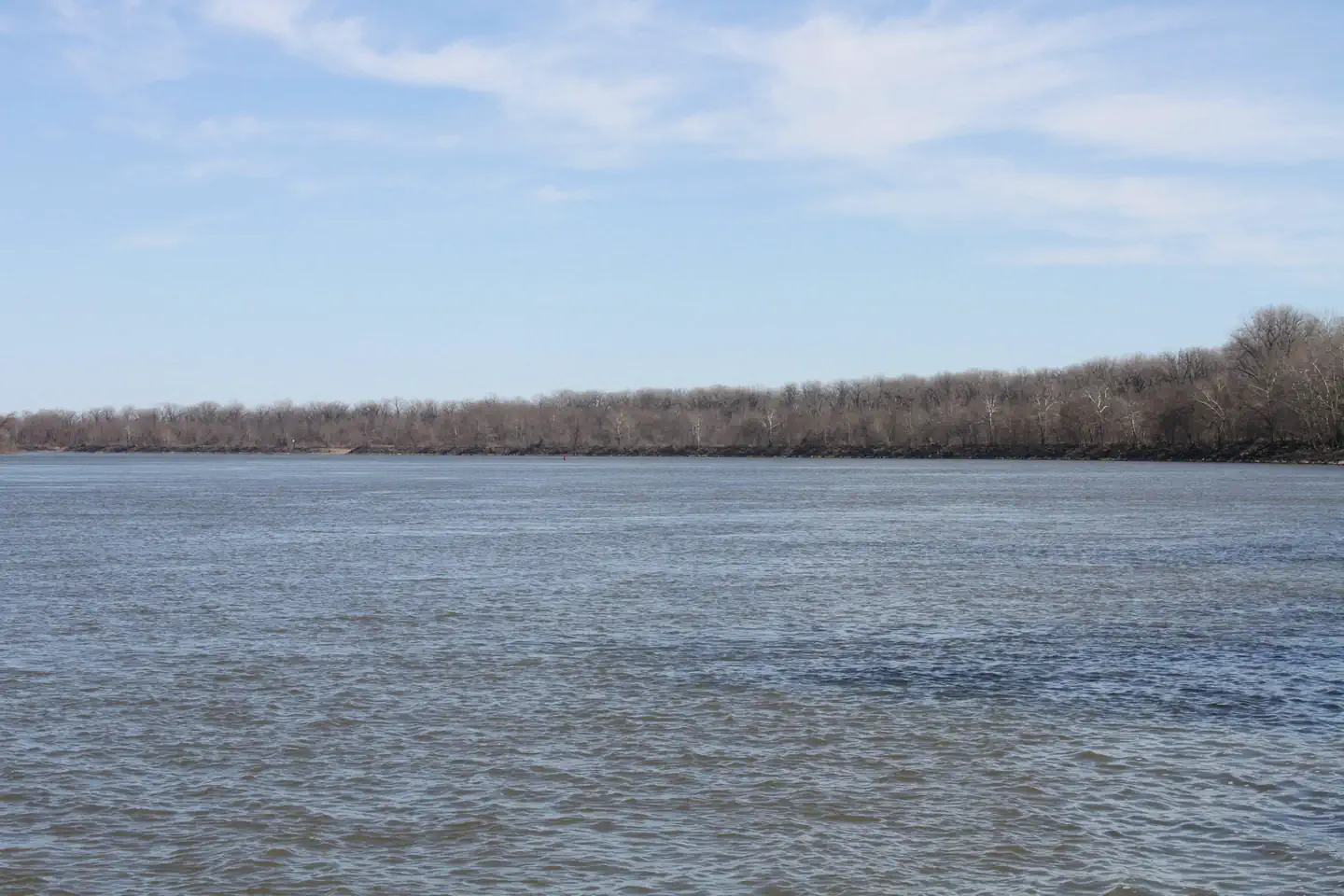
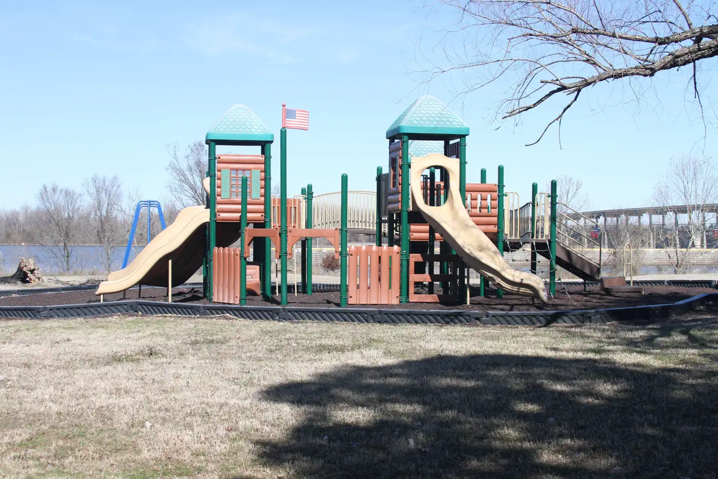
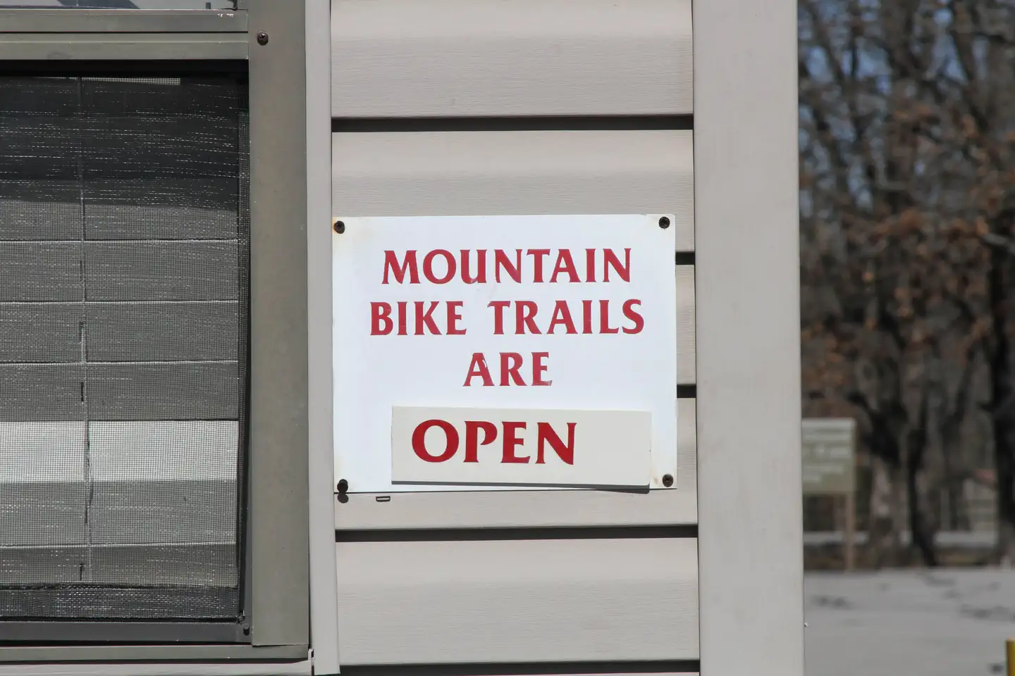
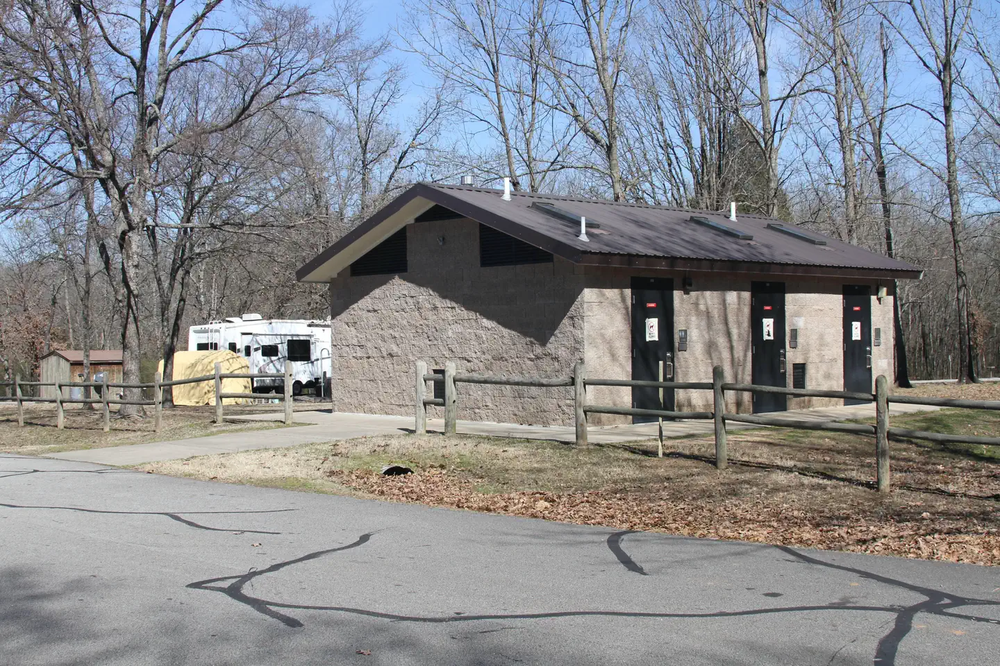
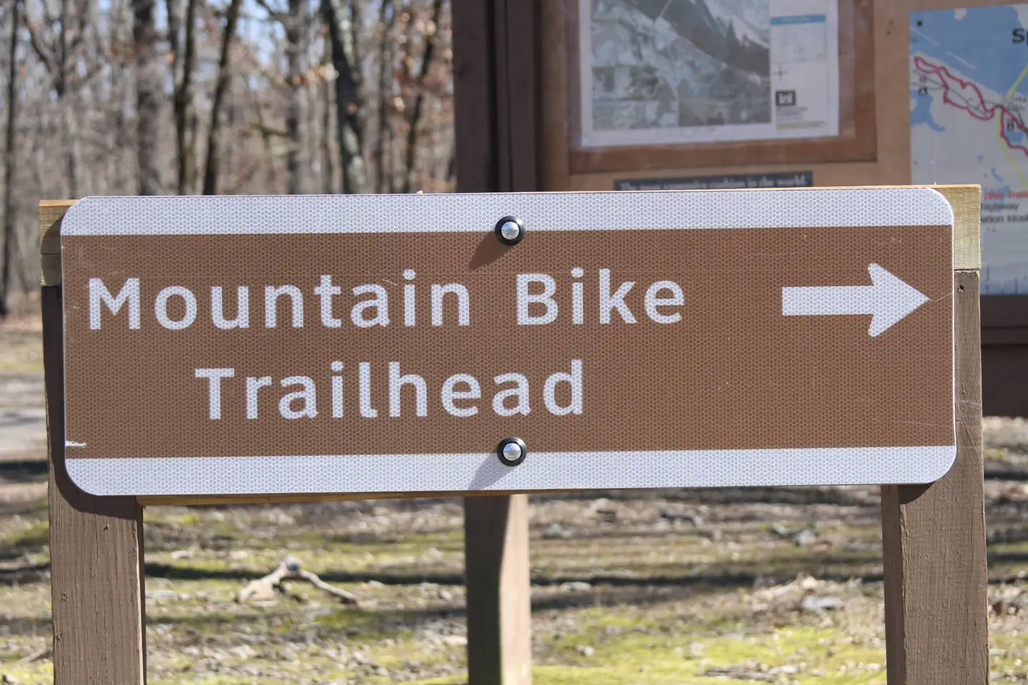
Overview Download a Springhill park map HERE Springhill Park sits along John Paul Hammerschmidt Lake in the lush, rolling hills of Arkansas. Campers come here for boating, birding and relaxing. Avid mountain bikers enjoy the Springhill Park Mountain Bike Trail, a 10-mile "fast" trail where experienced bikers race frequently. The trail is also a designated National Recreation Trail. Recreation Year-round fishing for catfish, bream, crappie and white and largemouth bass is fantastic in the fertile waters of the Arkansas. From late fall until early spring, the tailwaters immediately below the lock and dam boasts some of the best sauger fishing in the country. Facilities Springhill Park offers several spacious sites with electric hookups, along with four large group picnic shelters. Additional amenities include showers, a dump station, playground and boat ramps. Natural Features John Paul Hammerschmidt Lake is on the James W. Trimble Lock and Dam of the Arkansas River. Some campsites line the river while others sit between the lake and Massard Creek. Bottomland hardwood timber banks, steep bluffs and open agricultural fields create the scenery. Nearby Attractions The Fort Smith Museum of History is located about 20 minutes away.
From the managing agency.
Is SPRINGHILL free?
We do not have a fee on record for SPRINGHILL. Confirm the cost locally before you go.
How do I get to SPRINGHILL?
SPRINGHILL is at 35.3411, -94.2969. We do not hold written directions for this one, so navigate to the coordinates.
Nearby
- Clear Creek - Ozark Lake (AR)9.7 mi
- Shores Lake Recreation Area28.1 mi
- Shores Lake Campground28.1 mi
- AUX ARC28.5 mi
- WHITE ROCK MOUNTAIN RECREATION AREA30.8 mi
- White Rock Campground30.8 mi
- Little Pines Campground32.5 mi
- Jack Creek Campground33.1 mi
No other services within 50 mi on the record.
SourceSource data is agency published. Last synced September 19, 2026. Community reports and photos are submitted by travelers and are not verified by the agency.
