
AUX ARC
Campground · Fee not listed
Fast facts
- Cost
- Not listed. Check locally.
- Type
- Campground
- Phone
- 479-667-1100
- Coordinates
- 35.4703, -93.8181
- Last verified
- September 19, 2026
About this place
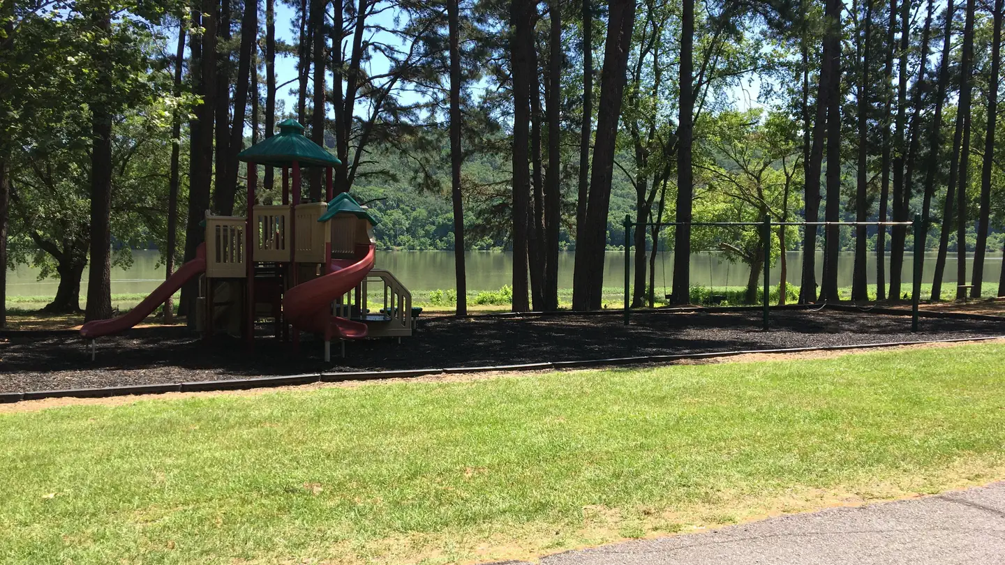
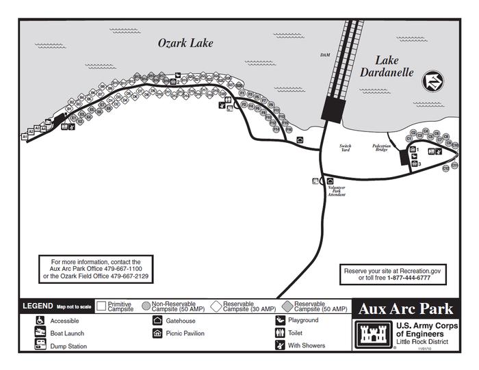
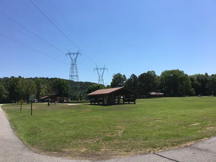
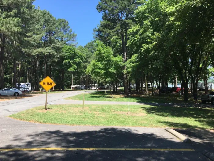
Overview Download a park map HERE Aux Arc Campground sits on the shores of Ozark Lake in the picturesque Arkansas River Valley. "Aux Arc" is a name that originated with French explorers when they mapped the territory. The term means "the big bend," describing the bend in the Arkansas River. Over time, the name was simplified to "Ozark," thus the name for Ozark Lake. Recreation Boating, hiking and picnicking are favorites with locals and visitors alike. Anglers find success with both boat and bank fishing, and popular fish species include catfish, bream, crappie and bass. Public land surrounding the lake yields deer, quail, squirrels, rabbits, dove, wild turkey, ducks and geese for hunting season. Facilities Aux Arc Campground offers spacious, shady campsites with electric and water hookups. Three picnic shelters, with electricity, can be reserved as well. Additional amenities include a dump station, two playgrounds, hot showers and a boat ramp. Natural Features Ozark Lake extends 36 miles along the Arkansas River. The shoreline of the lake varies from steep bluffs and tree-lined banks to open farm lands and level fields. Nearby Attractions Two of the largest wineries in the state are located in the nearby town of Altus. Here, large grape vineyards reminiscent of the European Rhineland dot the countryside.
From the managing agency.
Is AUX ARC free?
We do not have a fee on record for AUX ARC. Confirm the cost locally before you go.
How do I get to AUX ARC?
AUX ARC is at 35.4703, -93.8181. We do not hold written directions for this one, so navigate to the coordinates.
Nearby
- Horsehead Lake Recreation Area12.0 mi
- Shores Lake Recreation Area14.4 mi
- Shores Lake Campground14.4 mi
- Redding Campground14.8 mi
- WHITE ROCK MOUNTAIN RECREATION AREA17.0 mi
- White Rock Campground17.1 mi
- Wolf Pen Campground17.6 mi
- Spadra19.8 mi
No other services within 50 mi on the record.
SourceSource data is agency published. Last synced September 19, 2026. Community reports and photos are submitted by travelers and are not verified by the agency.
