
Lower Lake Recreation Area
Campground · Fee not listed
Fast facts
- Cost
- Not listed. Check locally.
- Type
- Campground
- Phone
- 870-246-5501
- Coordinates
- 34.1773, -93.0990
- Last verified
- September 19, 2026

About this place
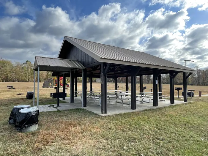
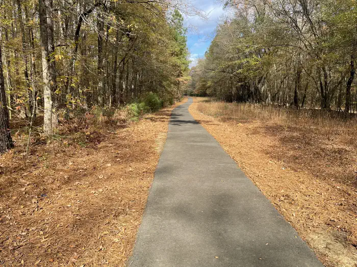
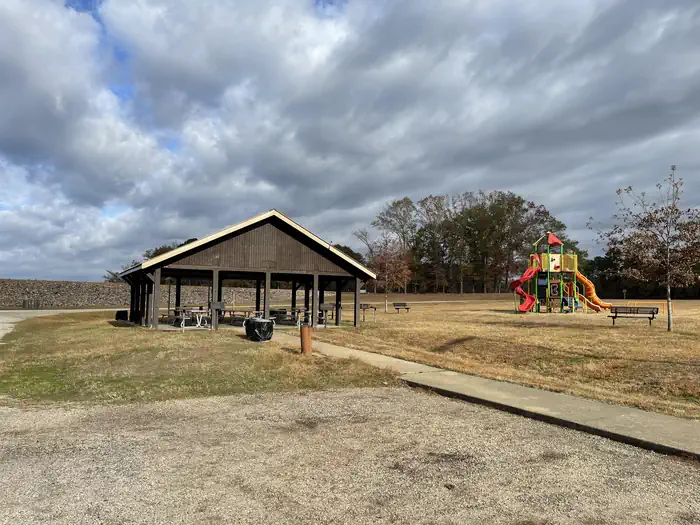
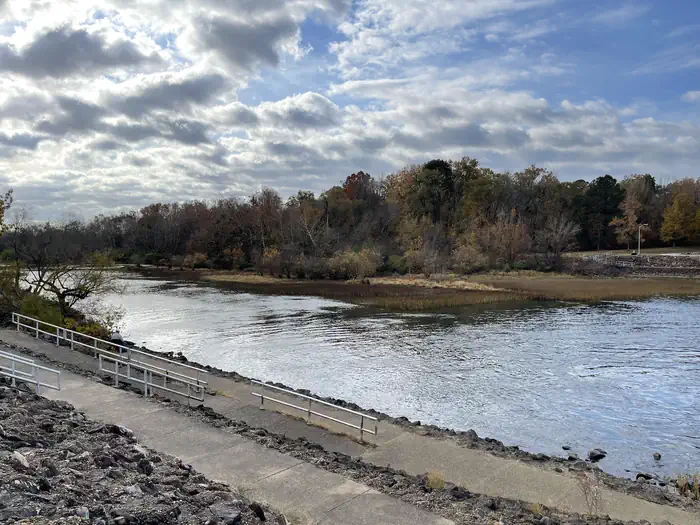
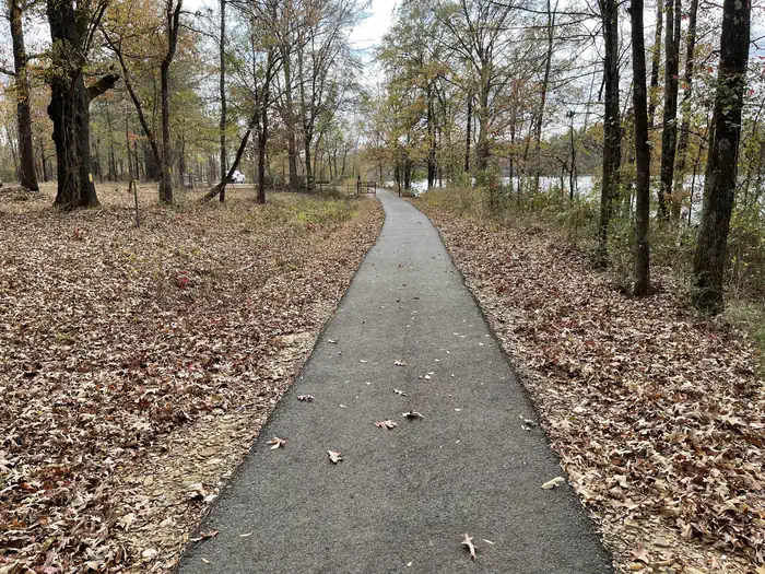
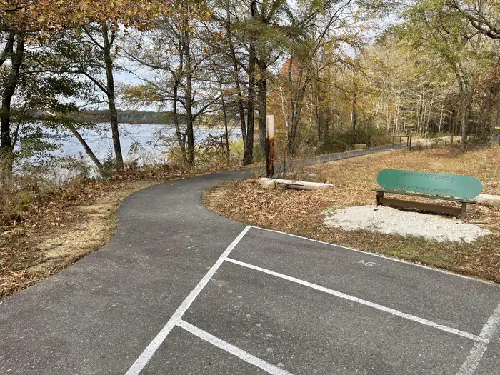
Overview Lower Lake is an area developed for visitors of the regulating dam. Fishing in the continuous outflow of the dam is a popular pastime. Other visitors fish the 400-acre pool above the dam or float and fish the river below the dam. Individual covered picnic tables plus one group shelter with a large cooking grill are available for use. The openness of the area lends itself to volleyball, softball, 18-hole disc golf course, and a fitness course. Recreation Hiking, fishing, canoeing, kayaking, disc golf, and picnicing are popular activities in the area. Facilities Lower Lake Recreation Area has a group use shelter available for renting. It is located beside the Caddo River and has a maximum seating capacity of 50 people. A playground, a sand volleyball court and an open playing field are adjacent to the shelter. A restroom is within walking distance of the shelter. There is a boat ramp in the park to access the river. The scenic Lower Lake Disc Golf Course is located in Lower Lake Recreation Area. Opening in late 2011, the course has become one of the most popular in the area. The Voss Fitness Trail is a 1 mile gravel trail with four fitness stops featuring a total of 19 workout stations. DeGray Lake Sunset Trail is a 1.7 mile moderately trafficked loop trail located at the Lower Lake that features lakeside views and is great for all skill levels. The trail offers a number of activity options and is accessible year-round. Dogs are also able to use this trail but must be kept on leash. The ADA-accessible trail meanders along a level paved surface, ideal for an easy afternoon walk. To see USACE DeGray Lake Virtual Tour, click here Natural Features Degray Lake is one of the region's five Diamond Lakes, known for their crystal clear waters. The lake flows from the Caddo River in western Arkansas and spans 13,500 surface acres. The first settlers around the lake were the Caddo Indians, whose remains have been traced back to 700 A.D. The early inhabitants were skilled in agriculture, and grew crops like beans, squash, maize and sunflowers. Nearby Attractions The DeGray Lake Resort State Park offers golf courses, tennis courts, horseback riding trails and more along the 207 miles of lake shoreline. The Ouachita National Forest and Hot Springs National Park are both located nearby.
From the managing agency.
Is Lower Lake Recreation Area free?
We do not have a fee on record for Lower Lake Recreation Area. Confirm the cost locally before you go.
How do I get to Lower Lake Recreation Area?
Lower Lake Recreation Area is at 34.1773, -93.0990. We do not hold written directions for this one, so navigate to the coordinates.
Nearby
- IRON MOUNTAIN3.8 mi
- Highway 7 Recreation Area4.1 mi
- EDGEWOOD7.3 mi
- Caddo Drive Day Use7.6 mi
- CADDO DRIVE7.7 mi
- Arlie Moore Day Use8.6 mi
- ARLIE MOORE8.9 mi
- ALPINE RIDGE9.3 mi
No other services within 50 mi on the record.
SourceSource data is agency published. Last synced September 19, 2026. Community reports and photos are submitted by travelers and are not verified by the agency.
