
IRON MOUNTAIN
Campground · Fee not listed
Fast facts
- Cost
- Not listed. Check locally.
- Type
- Campground
- Phone
- 870-246-5501
- Coordinates
- 34.2269, -93.1278
- Last verified
- September 19, 2026

About this place
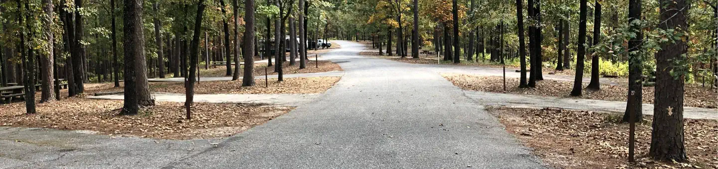
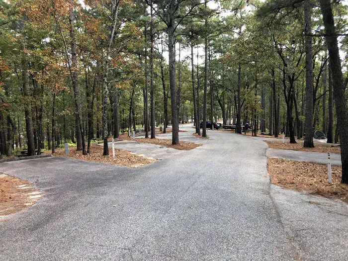
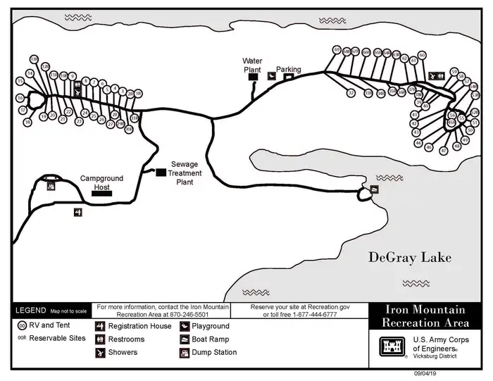
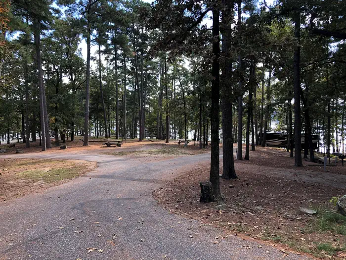
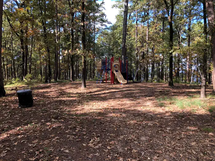
Overview Iron Mountain Campground sits on the southern banks of DeGray Lake in the foothills of the Quachita Mountains. Recreation Boating, water skiing, kayaking and other water sports are the biggest draw to the lake, and a boat ramp and full service marina are provided. The lake is also stocked with a variety of game fish, including plenty of hybrid striped bass, making it an ideal area for both boat and bank fishing. Numerous hiking and horseback riding trails wind around the lake shore. Facilities Iron Mountain offers 69 RV and standard reservable campsites with electrical hookups. Other amenities include flush toilets, heated showers, a boat ramp, playground and full service marina. To see USACE DeGray Lake Virtual Tour, click here. Natural Features Degray Lake is one of the region's five Diamond Lakes, known for their crystal clear waters. The lake flows from the Caddo River in western Arkansas and spans 13,500 surface acres. Nearby Attractions The DeGray Lake Resort State Park offers golf courses, tennis courts, horseback riding trails and more along the 207 miles of lake shoreline. The Ouachita National Forest and Hot Springs National Park are both located nearby.
From the managing agency.
Is IRON MOUNTAIN free?
We do not have a fee on record for IRON MOUNTAIN. Confirm the cost locally before you go.
How do I get to IRON MOUNTAIN?
IRON MOUNTAIN is at 34.2269, -93.1278. We do not hold written directions for this one, so navigate to the coordinates.
Nearby
- Highway 7 Recreation Area1.2 mi
- Lower Lake Recreation Area3.8 mi
- EDGEWOOD3.8 mi
- Caddo Drive Day Use4.1 mi
- CADDO DRIVE4.2 mi
- Arlie Moore Day Use5.0 mi
- ARLIE MOORE5.3 mi
- Oak Bower Group Use Area6.0 mi
No other services within 50 mi on the record.
SourceSource data is agency published. Last synced September 19, 2026. Community reports and photos are submitted by travelers and are not verified by the agency.
