
DAM - QUARRY
Campground · Fee not listed
Fast facts
- Cost
- Not listed. Check locally.
- Type
- Campground
- Phone
- 870-499-7216
- Coordinates
- 36.2583, -92.2406
- Last verified
- September 19, 2026


About this place
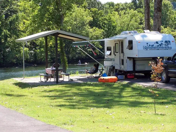
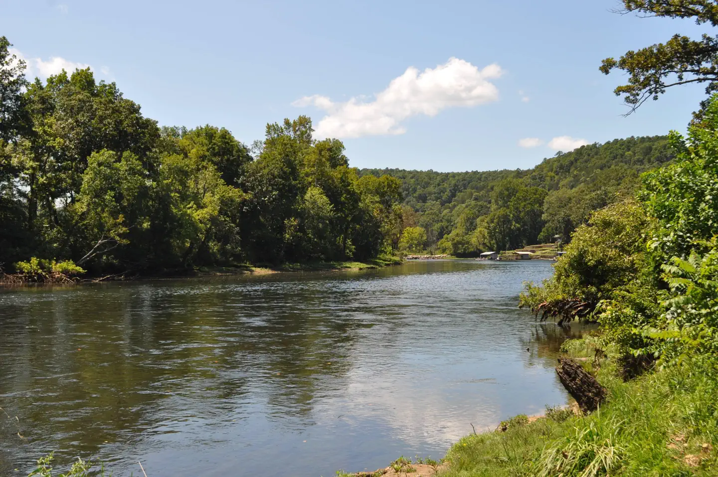
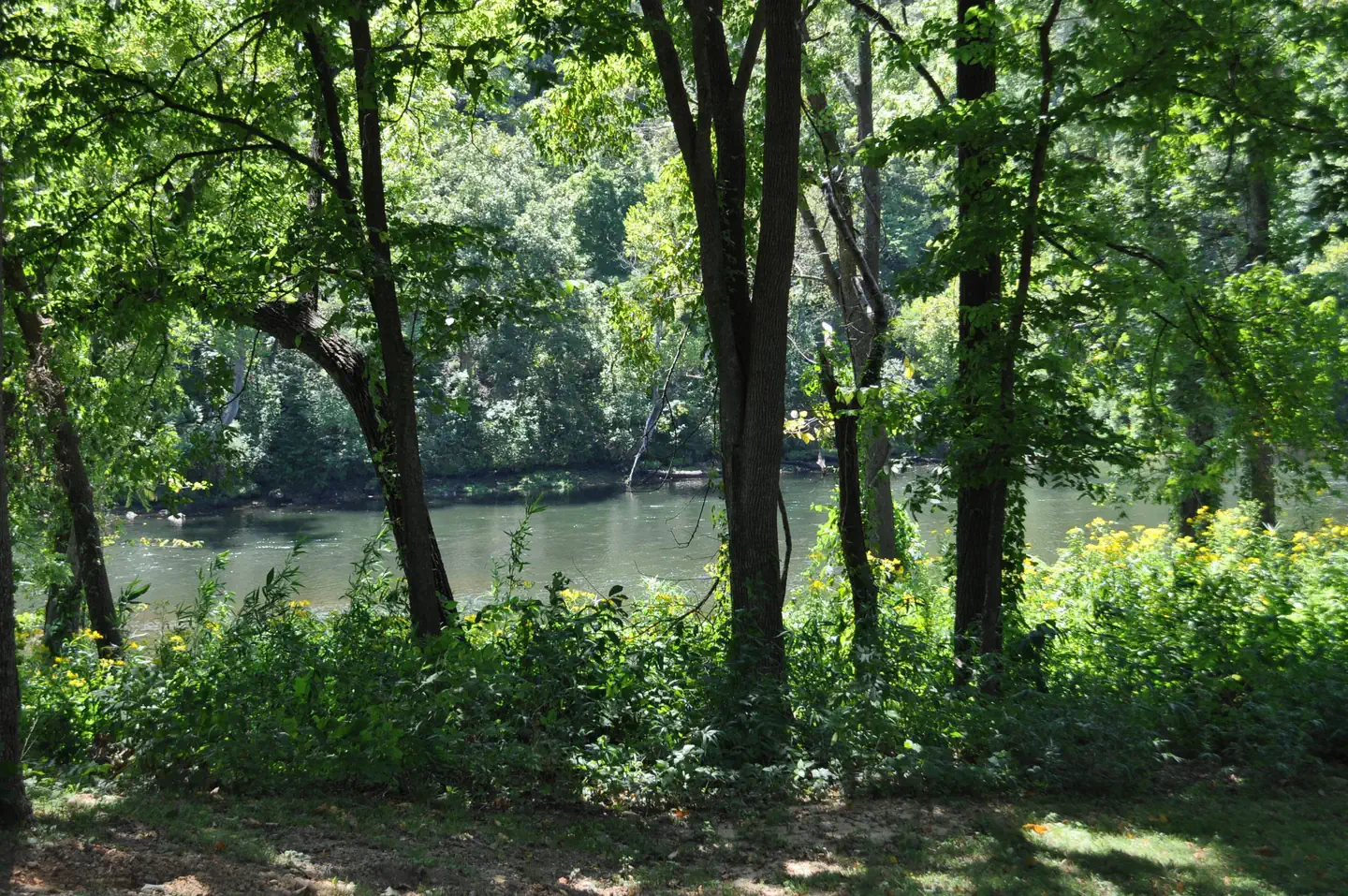
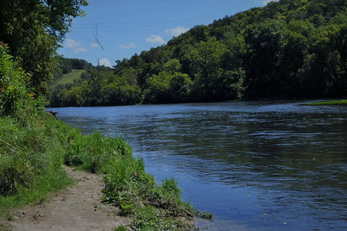
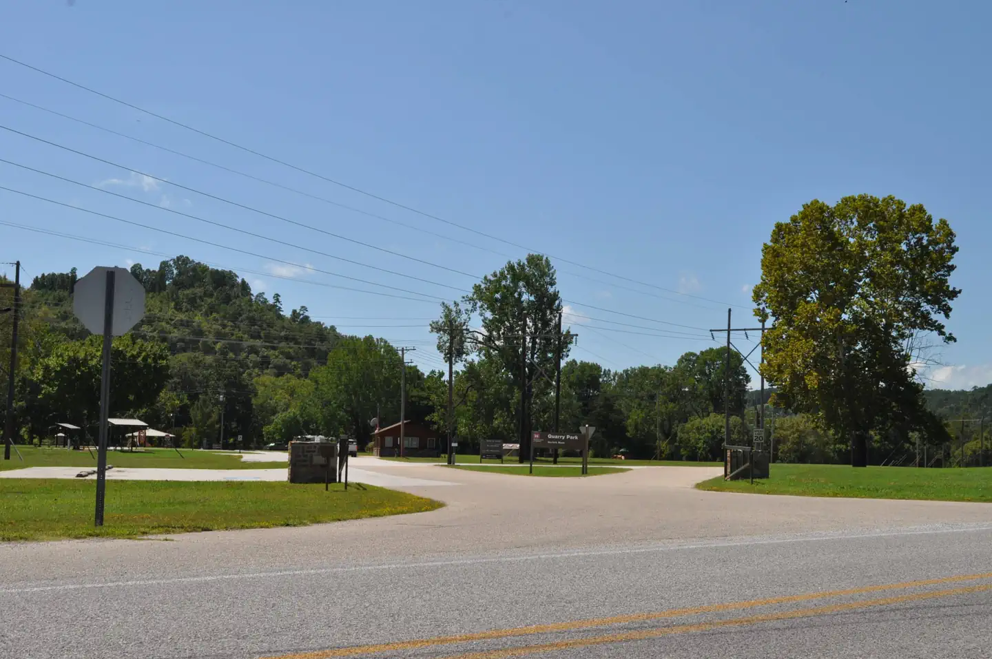
Overview Dam Quarry Campground is an angler's paradise. Located in northern Arkansas, just downstream of the Norfork Dam, the campground is renowned for its world-class trout fishing. The Norfork Lake region was one of the state's first water recreation areas with opportunities like water skiing, canoeing, scuba diving, and of course, fishing. Recreation While fishing is the top-rated activity in the lower river area, kayaking, birding and hiking are also very popular. The public land around Norfork keeps hunters busy with white-tailed deer, wild turkey, squirrel, rabbit and quail. Facilities Kids will enjoy the playground and everyone will find fun in the water. A boat ramp is on-site and a marina is located just above the dam. Everything but the group sites have electric hookups. Natural Features The campground sits at the banks of the North Fork River and Dry Run Creek. The river feeds the popular 22,000-acre Norfork Lake, which is just upstream from Dam Quarry. The site has beautiful views of the forested hills and hollows of the Ozarks. Nearby Attractions A short drive south takes visitors to the Ozark National Forest for sightseeing and wildlife spotting. The campground is also just three miles northeast of the small town of Norfork. Charges & Cancellations Cancellations up to 2 days before a reservation start date incur a $10.00 cancellation fee.
From the managing agency.
Is DAM - QUARRY free?
We do not have a fee on record for DAM - QUARRY. Confirm the cost locally before you go.
How do I get to DAM - QUARRY?
DAM - QUARRY is at 36.2583, -92.2406. We do not hold written directions for this one, so navigate to the coordinates.
Nearby
- ROBINSON POINT6.5 mi
- Panther Bay Park7.8 mi
- HENDERSON PARK8.2 mi
- BIDWELL POINT PARK8.8 mi
- CRANFIELD PARK11.0 mi
- GAMALIEL11.3 mi
- Barkshed Campground16.5 mi
- Gunner Pool Campground18.3 mi
No other services within 50 mi on the record.
SourceSource data is agency published. Last synced September 19, 2026. Community reports and photos are submitted by travelers and are not verified by the agency.
