
BIDWELL POINT PARK
Campground · Fee not listed
Fast facts
- Cost
- Not listed. Check locally.
- Type
- Campground
- Phone
- 870-467-5375
- Coordinates
- 36.3861, -92.2375
- Last verified
- September 19, 2026
About this place
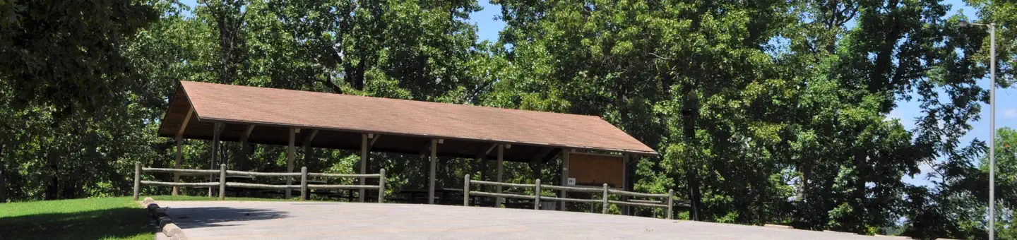
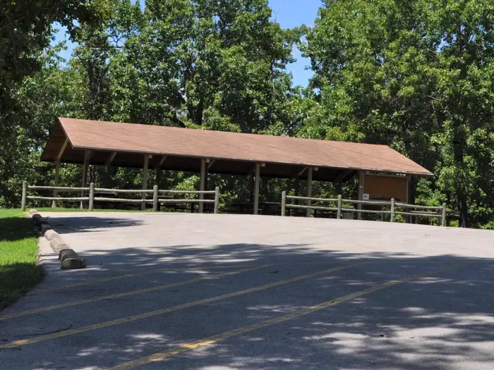
Overview Bidwell Point is tucked below towering oak and pines on the shores of Norfork Lake. Lay on the beach or take the boat out for water skiing on the easily accessible waters of Norfork Lake. Recreation Lake Norfork is home to one of the best striped bass fisheries in Arkansas. Black bass fishing is at its best from September through May, and an increasingly popular sport is night fishing with lights for crappie and White bass. Facilities Campers can reserve one of the waterfront sites for continuous, clear views of the lake. The family-friendly campground maintains a large swim beach and a playground. The sites have electric hookups, as does the group shelter. The group picnic shelter can fit up to 200 guests for any large occasion. Natural Features The forest-topped Ozarks are actually a heavily eroded plateau, shaped and carved by hundreds of streams over several thousand years. Norfork Lake is sourced by the North Fork River in northern Arkansas, which winds through the rugged Ozarks before filling up 22,000 acres of Norfork Lake. Nearby Attractions Hike the Robinson Point National Recreation Trail for wonderful views of the Ozarks. Just south of the lake, The Ozark National Forest spans 1.2 million acres. Charges & Cancellations Cancellations up to 2 days before a reservation start date incur a $10.00 cancellation fee.
From the managing agency.
Is BIDWELL POINT PARK free?
We do not have a fee on record for BIDWELL POINT PARK. Confirm the cost locally before you go.
How do I get to BIDWELL POINT PARK?
BIDWELL POINT PARK is at 36.3861, -92.2375. We do not hold written directions for this one, so navigate to the coordinates.
Nearby
- HENDERSON PARK0.7 mi
- Panther Bay Park1.3 mi
- ROBINSON POINT2.3 mi
- GAMALIEL2.6 mi
- CRANFIELD PARK4.8 mi
- DAM - QUARRY8.8 mi
- Udall Park 11.2 mi
- LAKEVIEW PARK17.3 mi
No other services within 50 mi on the record.
SourceSource data is agency published. Last synced September 19, 2026. Community reports and photos are submitted by travelers and are not verified by the agency.
