
COTTONSHED PARK (AR)
Campground · Fee not listed
Fast facts
- Cost
- Not listed. Check locally.
- Type
- Campground
- Phone
- 870-287-7118
- Coordinates
- 33.7964, -93.9612
- Last verified
- September 19, 2026
About this place
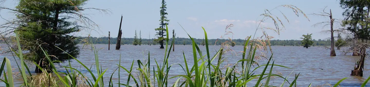
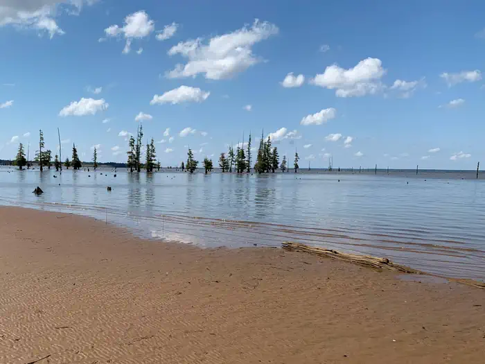
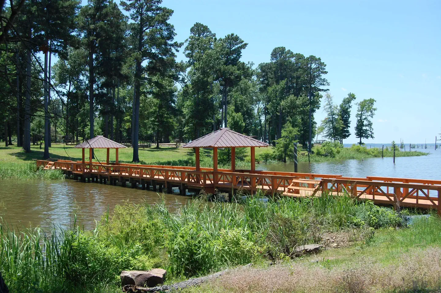
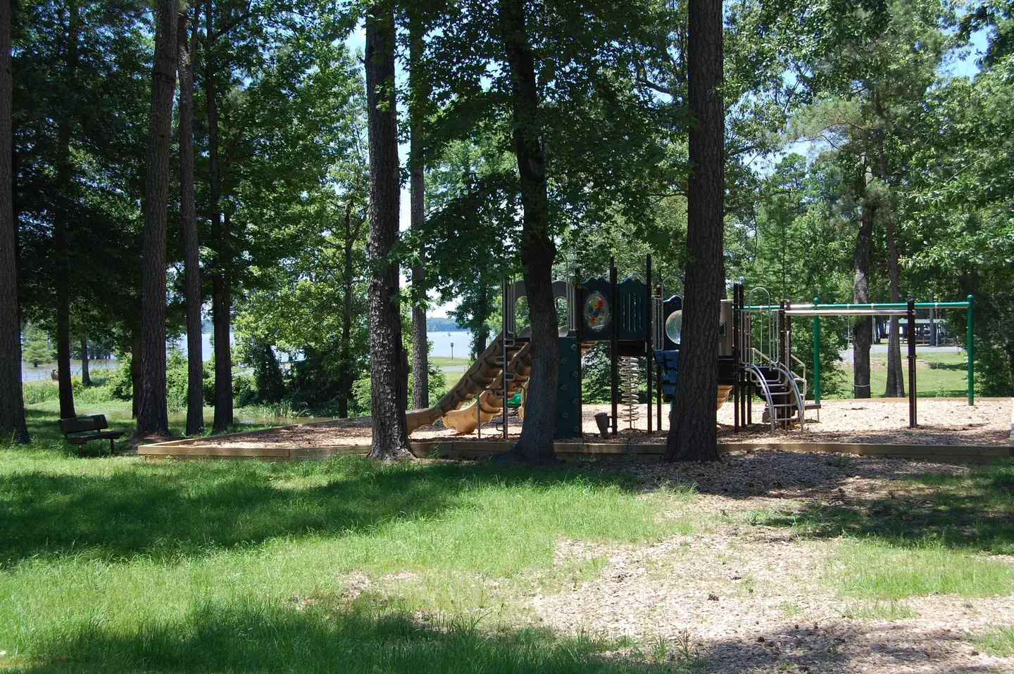
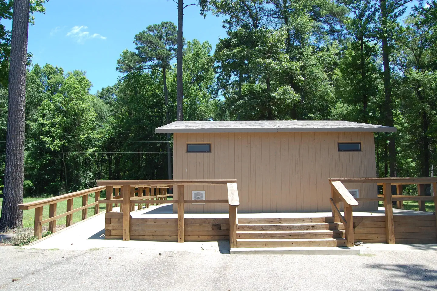
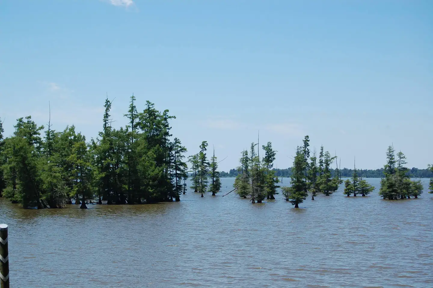
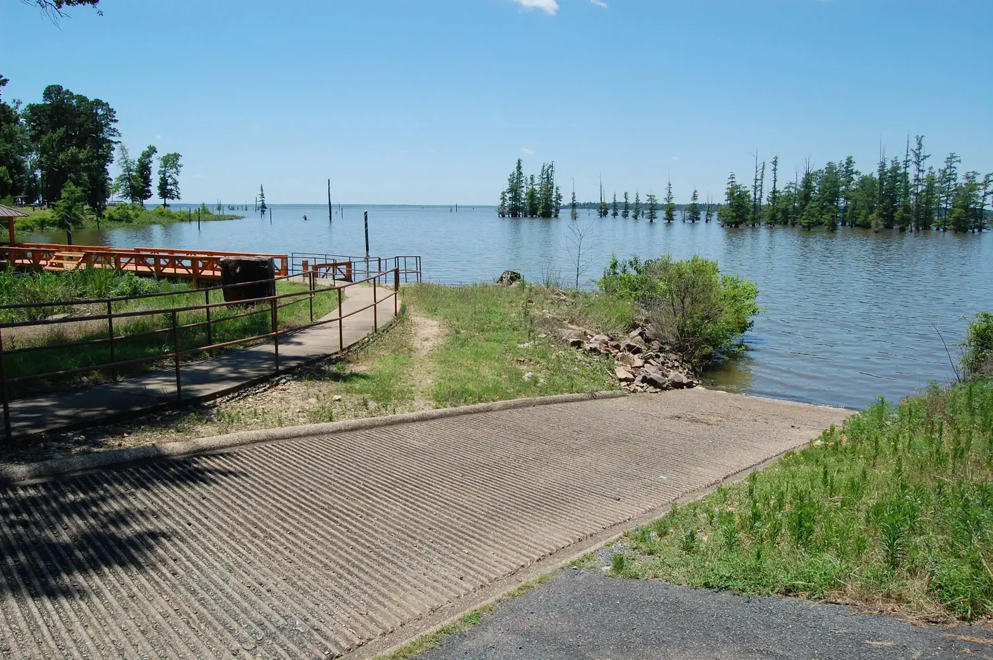
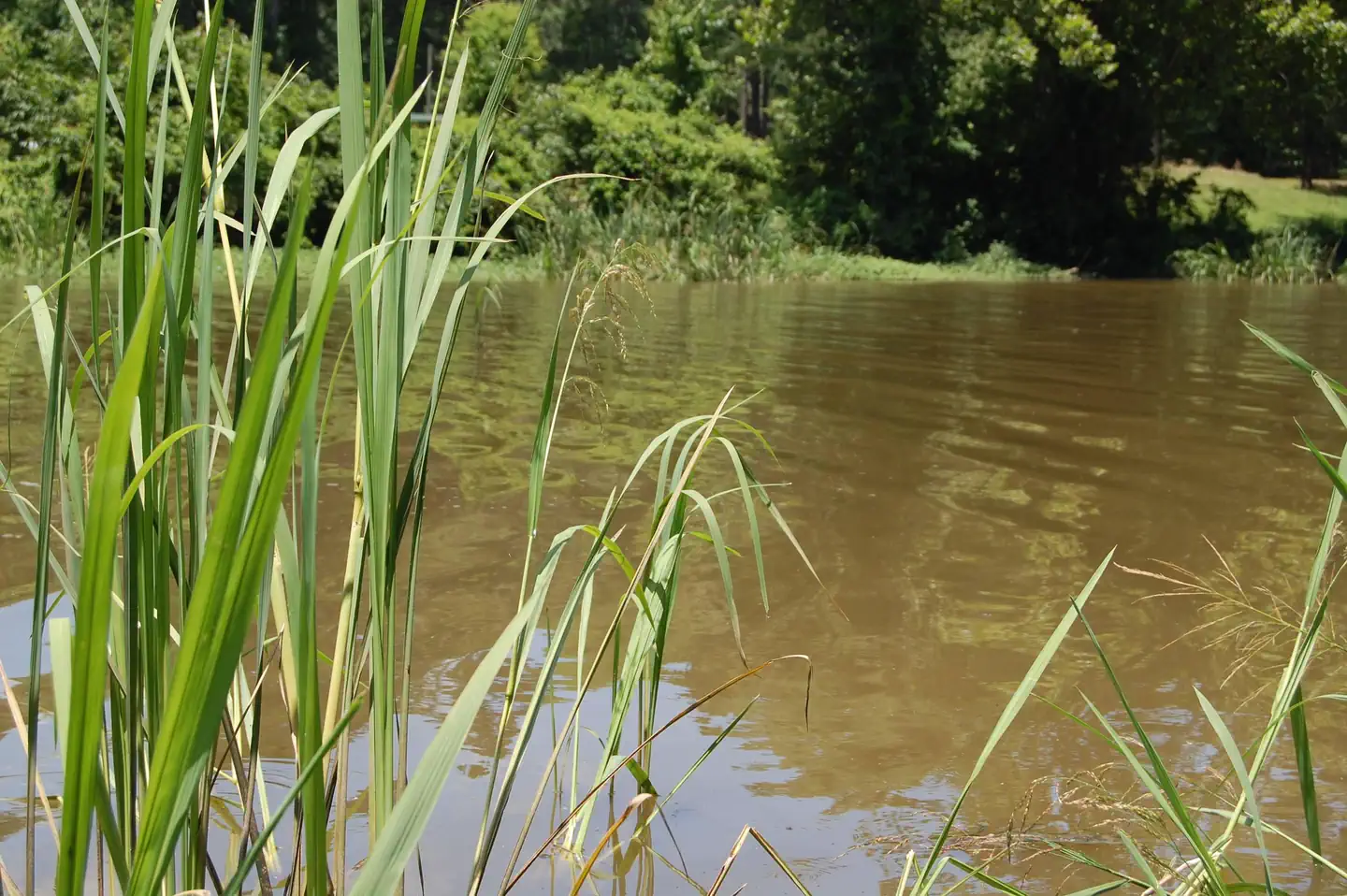
Overview Cottonshed Park is located off the beaten path, eight miles southwest of Mineral Springs and Tollette. It is a quiet, wooded area with access to some of the best fishing on Millwood Lake. Recreation The campground is located on Millwood Lake with direct access to the Saline River. The area is made navigable by boat lanes which mark the river and other man made paths through the lake. Outside of these channels is submerged timber and aquatic vegetation that entice anglers and duck hunters to the area. Millwood Lake is home to over 300 species of birds including the American Bald Eagle and Great White Pelicans, many of which can be found in the Cottonshed area. Facilities The campground contains lake side campsites as well as those not located directly on the lake but with a lake view. Flush toilets, showers, and potable water are located throughout the campground. The facility also offers one centrally located sewage dump station. Campsites are equipped with picnic tables, grills, fire rings, 30/50 amp electricity, water hydrants and lantern poles. Natural Features The campground is located directly on Millwood Lake with lake views from most of the campsites. The surrounding landscape is flat, low land areas with dense timber. Nearby Attractions Old Washington Historic State Park is located 25 miles northeast of the park.
From the managing agency.
Is COTTONSHED PARK (AR) free?
We do not have a fee on record for COTTONSHED PARK (AR). Confirm the cost locally before you go.
How do I get to COTTONSHED PARK (AR)?
COTTONSHED PARK (AR) is at 33.7964, -93.9612. We do not hold written directions for this one, so navigate to the coordinates.
Nearby
- Paraloma Park2.9 mi
- WHITE CLIFFS PARK6.0 mi
- BEARD'S BLUFF PARK (AR)6.4 mi
- Horseshoe Bend (Dierks Lake)25.3 mi
- Overlook (Dierks Lake)25.3 mi
- JEFFERSON RIDGE26.0 mi
- PARKER CREEK26.8 mi
- Riverside Day Use Area27.9 mi
No other services within 50 mi on the record.
SourceSource data is agency published. Last synced September 19, 2026. Community reports and photos are submitted by travelers and are not verified by the agency.
