
BLANCHARD SPRINGS RECREATION AREA
Campground · Fee not listed
Fast facts
- Cost
- Not listed. Check locally.
- Type
- Campground
- Phone
- 870-757-2211
- Coordinates
- 35.9744, -92.1772
- Last verified
- September 19, 2026


About this place
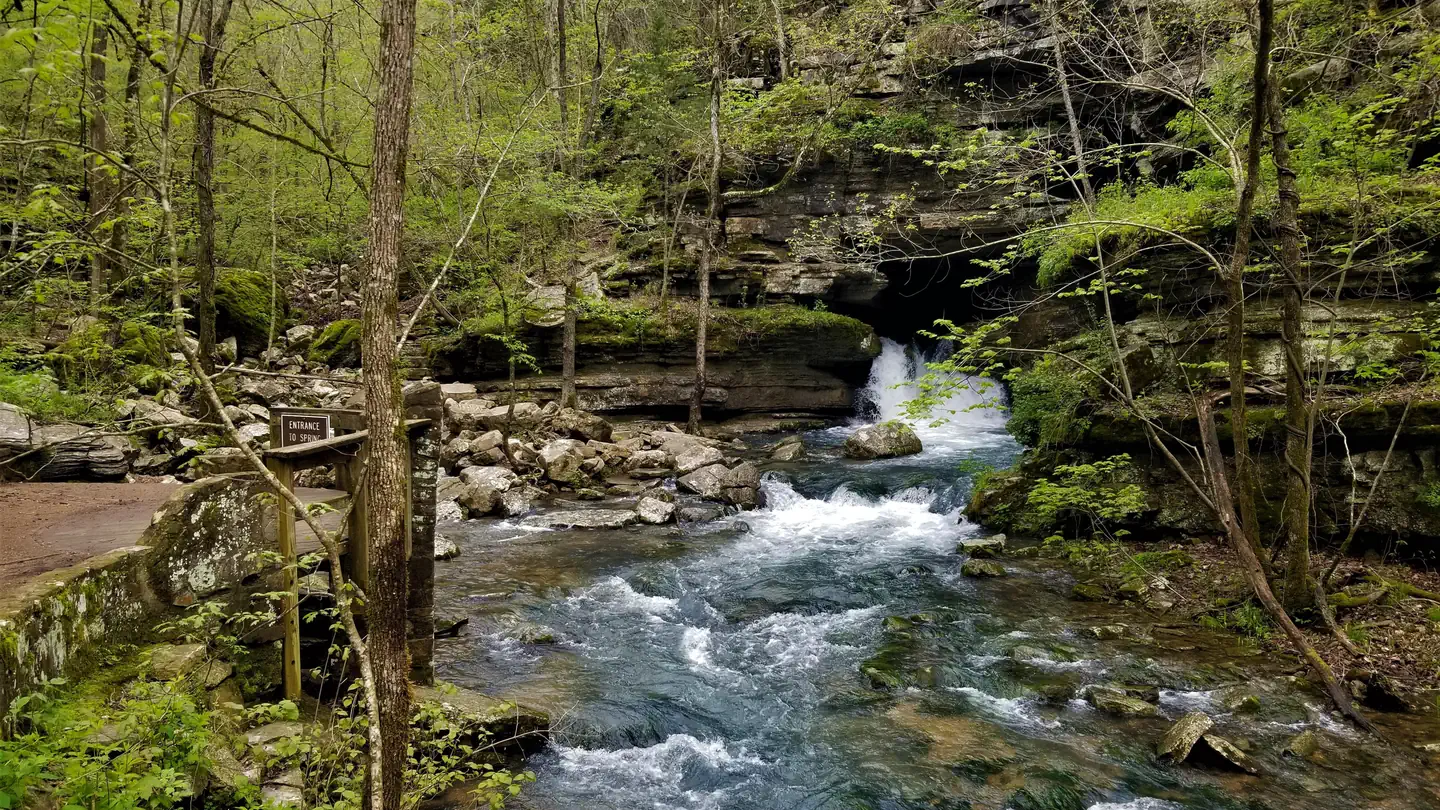
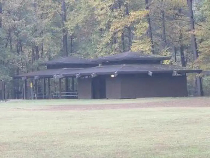
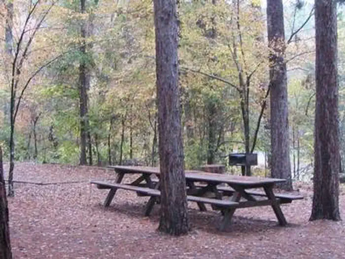
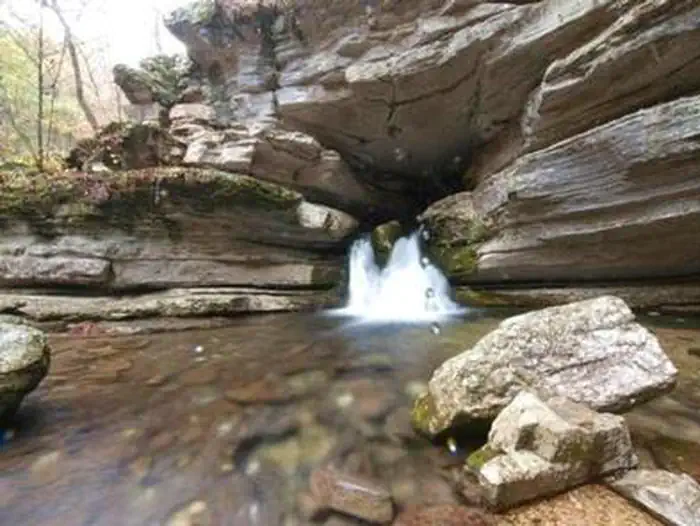
Overview Blanchard Springs Recreation Area is located in the scenic Ozark National Forest. The Ozark Mountains are known for beautiful "rolling" hills, hidden caverns, waterfalls and clear flowing streams. Examples of early Ozark culture and music can be found throughout the region. Blanchard recreation area is a great starting point for an Ozark adventure. Recreation Trout fishing is available on nearby Mirror Lake. Other popular activities in the Blanchard area include mountain biking, hiking and swimming. Facilities The campgrounds offer a variety of campsites to accommodate all types of visitors, including group and single campsites. All sites are equipped with tables, grills and campfire rings. Individual sites are on a first come, first served basis. The individual sites are open except when there is high water. To check campground status, call 870 757 2211. The picnic shelters have grills and ample picnic tables for groups. Flush toilets and drinking water are provided. Natural Features The facilities are near picturesque rock bluffs and crystal clear streams. Sites are well shaded by stately yellow pine trees. Nearby Attractions Blanchard Springs Caverns offers tours, exhibits and family activities. North Sylamore hiking trail follows the scenic Sylamore creek for 25 miles and connects to the Ozark Highland trail. Mountain biking is available on 50 miles of the Syllamo Mountain Bike Trail.
From the managing agency.
Is BLANCHARD SPRINGS RECREATION AREA free?
We do not have a fee on record for BLANCHARD SPRINGS RECREATION AREA. Confirm the cost locally before you go.
How do I get to BLANCHARD SPRINGS RECREATION AREA?
BLANCHARD SPRINGS RECREATION AREA is at 35.9744, -92.1772. We do not hold written directions for this one, so navigate to the coordinates.
Nearby
- Blanchard Springs Campground0.1 mi
- Blanchard Springs Campgrounds0.1 mi
- Gunner Pool Campground2.4 mi
- Barkshed Campground5.1 mi
- DAM - QUARRY19.9 mi
- Buffalo Point Campground22.4 mi
- BUFFALO POINT23.1 mi
- Spring Creek Campground23.1 mi
No other services within 50 mi on the record.
SourceSource data is agency published. Last synced September 19, 2026. Community reports and photos are submitted by travelers and are not verified by the agency.
