
CORINTH RECREATION AREA
Campground · Fee not listed
Fast facts
- Cost
- Not listed. Check locally.
- Type
- Campground
- Phone
- 205-300-1513
- Coordinates
- 34.1050, -87.3200
- Last verified
- September 19, 2026
About this place
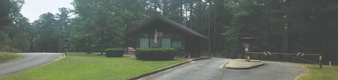
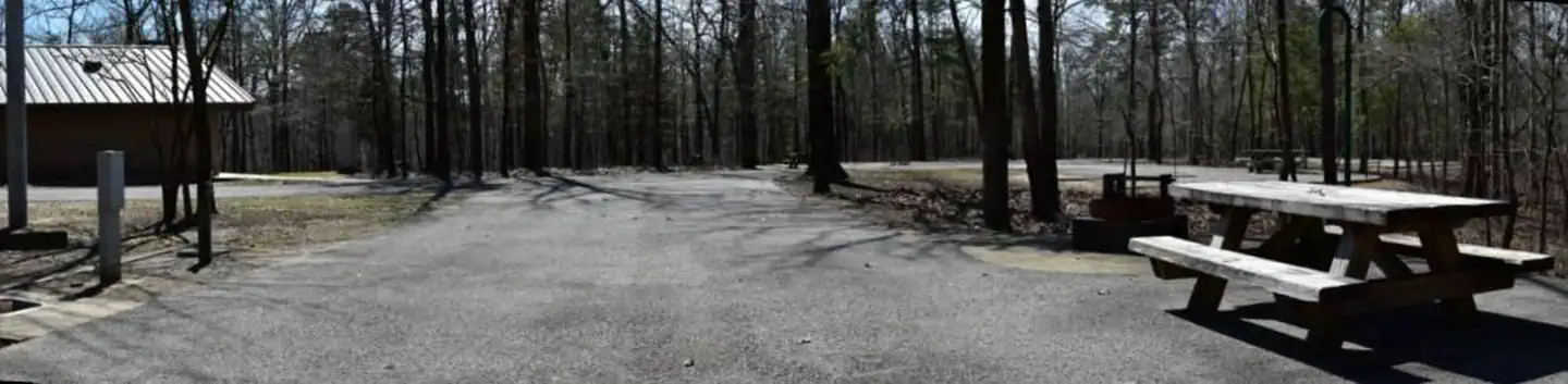
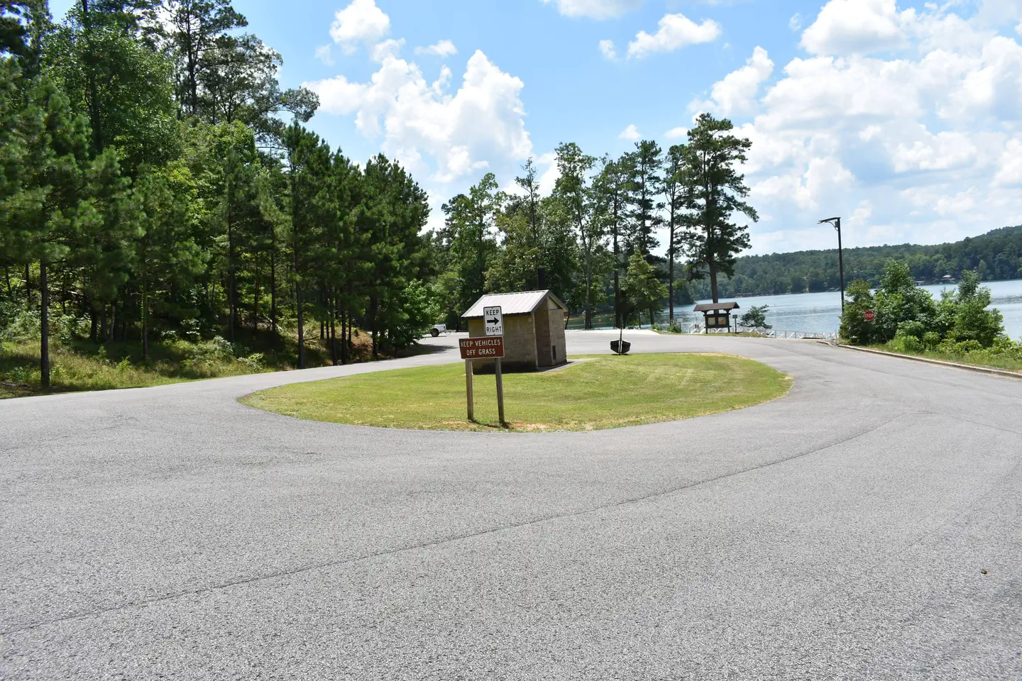
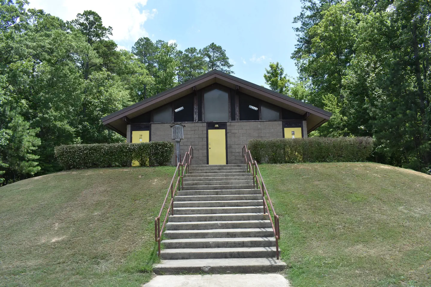
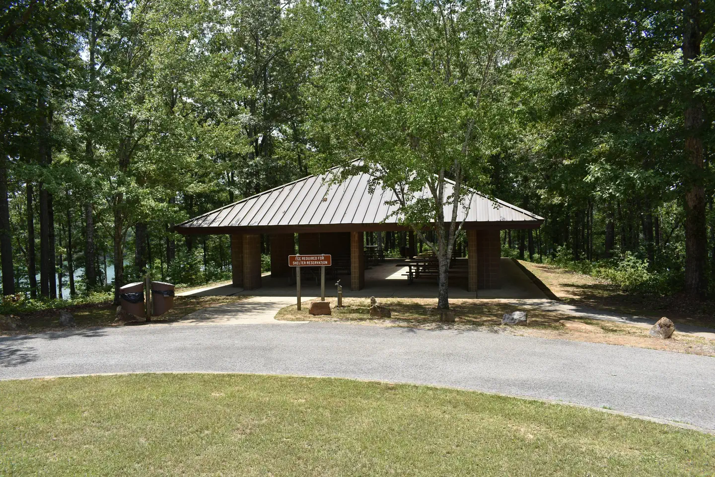
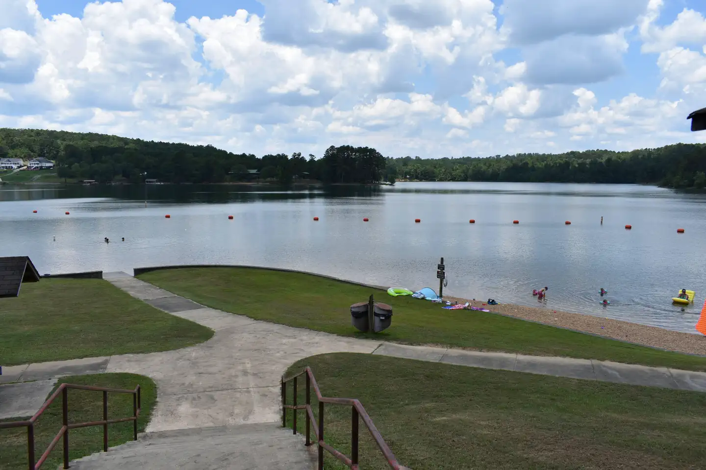
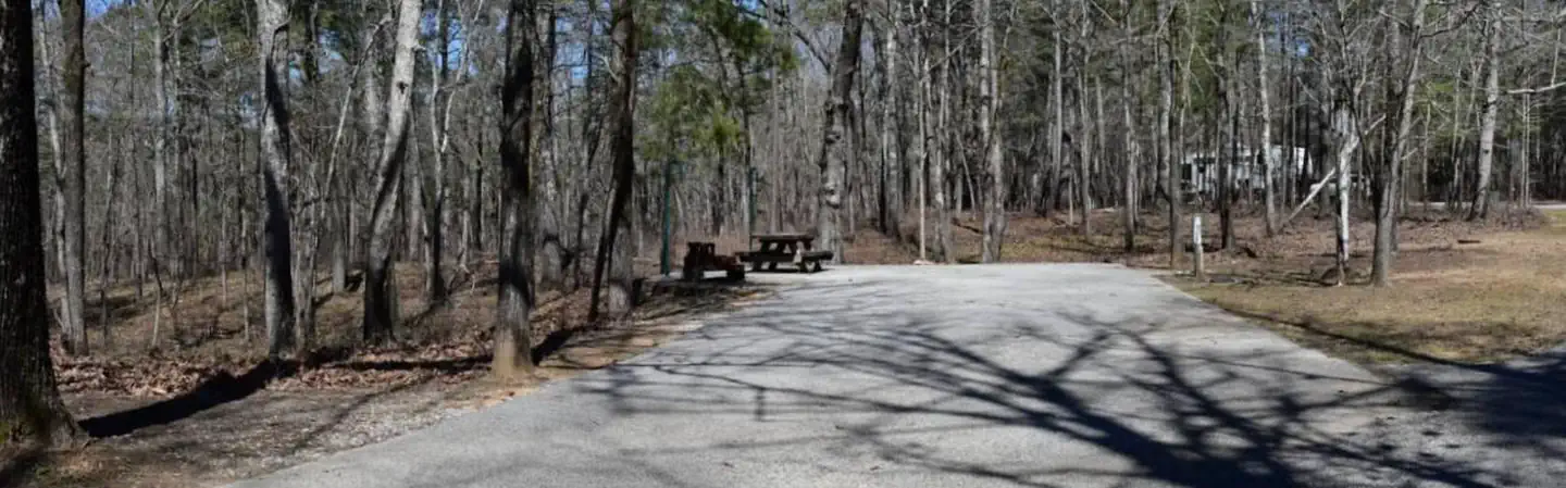
Overview The Corinth Recreation Area is a state-of-the art campground located on the on the shores of the upper part of Lewis Smith Lake in Winston County. Initially built in the 1960s and renovated in 1998 it offers facilities for individual and group camping, picnicking, swimming, and boat launching. Check-out time for Corinth is no later than 12:00 pm the day of departure. Check-in time is no earlier than 2:00pm . This 2 hour window allows our staff adequate time to clean and maintain each site. Two camping loops contain 52 campsites, with electrical, water, and sewer hookups. There are four bathhouses, with warm showers, serving the camping areas. A boat ramp is provided for campers. An entrance station with an electronic gate is available to control access to the campground. Corinth also offers eight rustic tent camping sites with nearby community hydrants and a bathhouse. No garbage bins are in the campground; users are required to pack out trash and deposit it in the dumpsters by the dump station. ADA accessible sites are available. The day use portion of the recreation area focuses on the swimming beach, served by a bathhouse with an outdoor beach shower. Twenty-nine family picnic sites are available nearby, and paved access paths connect all. Near the beach is a 100-person group picnic pavilion, with a flush toilet that serves both it and a portion of the picnic sites. A 1.25-mile hiking path is located along the shoreline of the lake. A year-round boat launch is available, with an SST vault toilet; and it has boat/trailer parking. A separate boat launch is available to the campground. Welcome to the Corinth Recreation Area... Use the Recreation.gov Mobile App. Visitors on-the-go can use the Recreation.gov mobile app to reserve and pay for upcoming stays, reducing the need for on-site transactions and cash handling. Download the Recreation.gov app through the Apple App Store or on Google Play. Functionality of the iPhone app available here... Functionality of the Android app available here... Recreation Day-use visitors and campers have access to a boat ramp and swim beach. The lake provides excellent fishing for Kentucky Spotted Bass and Hybrid Striped Bass. Hikers can access the 1.3-mile Bobwhite Trail. Interpretive programs are hosted during the summer. Facilities All facilities are wheelchair accessible. Flush toilets, drinking water and showers are offered for both campers and day-use visitors. The campground offers spacious standard sites with full hookups that can accommodate RVs of any size. Sites contain paved parking spurs, picnic tables, grills and tent pads. There is a reservable group picnic shelter that can accommodate up to 100 people, as well as 29 first-come, first-served picnic sites. Natural Features The 180,000+ acre Bankhead National Forest is in northwestern Alabama, and its prominent feature is the Sipsey Wilderness . Known as "The Land of a Thousand Waterfalls," the Sipsey is at the juncture of three separate geologic areas: the Appalachian Plateau, the Cumberland Plateau and the Coastal Plain. The vegetation from these three unique environments blend into a remarkable diversity of species, with overlapping ranges creating many unusual plant associations. The Sipsey is a 12,726 acre area of swift streams, waterfalls, sandstone cliffs, undisturbed gorges, majestic hardwood forests, wildflowers, birds, animals and is home to Alabama's largest tree, a tulip poplar with a 21-foot circumference at its base. Lewis-Smith Lake (or Smith Lake) is located in the counties of Cullman, Walker and Winston. The 300-foot high dam, completed in 1961 by Alabama Power Company, impounds the Sipsey Fork of the Black Warrior River to form the lake. Smith Lake has a surface area of 21,200 acres, 500 miles of shoreline, a watershed area of 944 square miles, a retention time of 435 days, and a maximum depth of 264 feet. What's Happening in Your Alabama National Forest Video Nearby Attractions Four nearby attractions within Bankhead National Forest are: The Little Natural Bridge is the longest rock arch east of the Rockies. It was formed 200 million years ago when the sea washed the sandstone away leaving iron ore veins holding the bridge. In this area thrive 27 varieties of Ferns and a number of Canadian Hemlocks traced to the Ice Age. Satellite Map of Natural Bridge Park The 19th-century Pine Torch Church is one of the oldest churches in Alabama and one of only four surviving log churches. The church is located in the Bankhead Forest in Lawrence County at the intersection of Country Roads 70 and 73 Several online sources say it was built in the 1890s but a sign at the site claims in was built in the 1840s. According to legend, Pine Torch got its name from the pine knots that were set ablaze to light the building after dark. It is made of hand-hewn logs. The original floor, made of hand-hewn poplar planks, was stolen piece-by-piece and was replaced in 1940, according to a historic marker at the site. The original roof was made of hand-split wooden shingles. It was later replaced with tin. Behind the church is a cemetery whose grounds are covered with sand to make maintenance easier. A newer and larger wooden church was built at the back of the property. It is still in use. Satellite Map of the Pine Torch Church The Houston Civil War Jail - Houston, Alabama served as the first county seat for Winston County. The area known today as Winston County was originally established in 1850 as Hancock County, named after John Hancock, signer of the Declaration of Independence. In 1858 the county was renamed Winston after the first native-born governor of Alabama, John Anthony Winston. Old Houston, located a few miles away from present day Houston, was the first county seat. Citizens voted to move the county seat to present day Houston in the late 1850's and a log jail was constructed at that time. The jail burned during the Civil War and was rebuilt in 1868. The Houston jail was built of hand-hewn logs filled with nails to prevent prisoners from "sawing their way to freedom". The jail held prisoners and provided a site for court. In 1884 the county seat was moved from Houston to present day Double Springs. Houston Historical Society Discover the Incredible Variety of Habitats and Birds in the Bankhead National Forest. Birding on the Bankhead
From the managing agency.
Is CORINTH RECREATION AREA free?
We do not have a fee on record for CORINTH RECREATION AREA. Confirm the cost locally before you go.
How do I get to CORINTH RECREATION AREA?
CORINTH RECREATION AREA is at 34.1050, -87.3200. We do not hold written directions for this one, so navigate to the coordinates.
Nearby
- Corinth Campground0.2 mi
- Houston Campground1.8 mi
- HOUSTON SHELTER1.8 mi
- HOUSTON RECREATION AREA2.3 mi
- CLEAR CREEK (AL)6.5 mi
- Clear Creek Campground7.1 mi
- Mcdougle Hunt Camp16.1 mi
- BURCHFIELD BRANCH PARK45.9 mi
No other services within 50 mi on the record.
SourceSource data is agency published. Last synced September 19, 2026. Community reports and photos are submitted by travelers and are not verified by the agency.
