
MENDENHALL CAMPGROUND
Campground · Fee not listed
Fast facts
- Cost
- Not listed. Check locally.
- Type
- Campground
- Phone
- 907-586-8800
- Coordinates
- 58.4139, -134.5611
- Last verified
- September 19, 2026
About this place
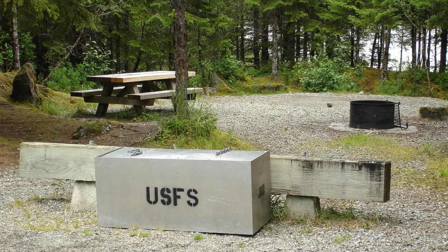
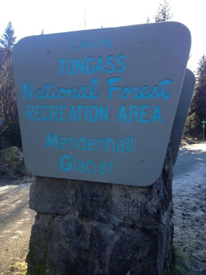
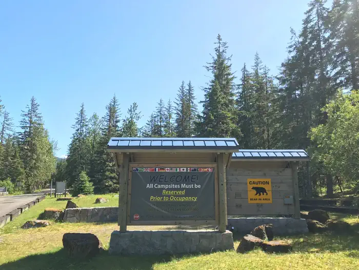
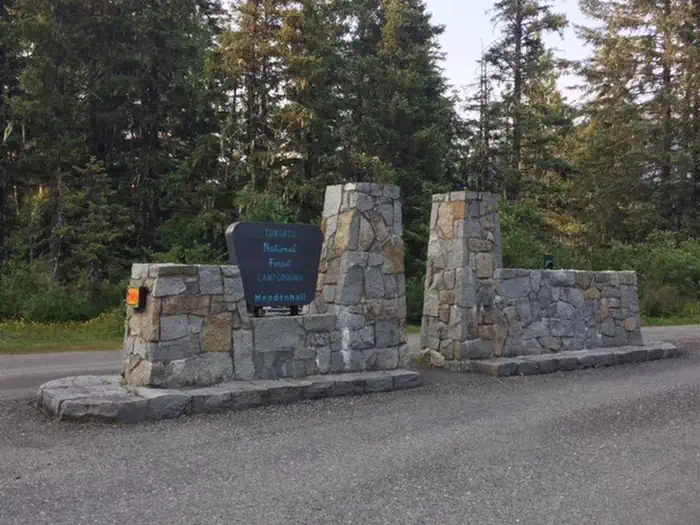
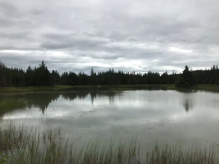
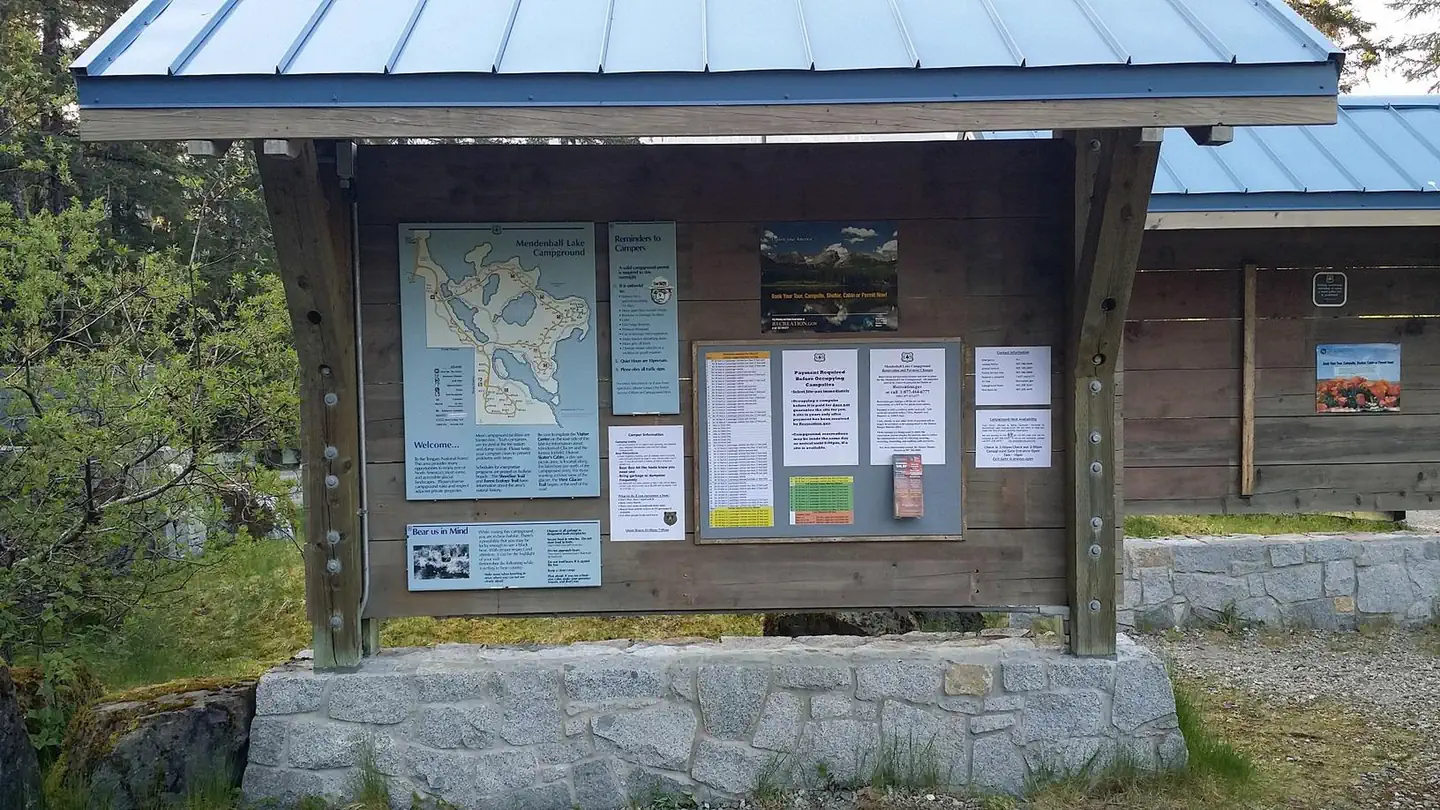
Overview Mendenhall Campground is situated on the shore of Mendenhall Lake, in view of the Mendenhall Glacier, about 13 miles from downtown Juneau. The site is a popular destination for viewing beautiful scenery and abundant wildlife. Hiking opportunities abound. Recreation The West Glacier Trail, with an elevation gain of 1,300 feet, can be hiked in 5-6 hours roundtrip. The trailhead is a half mile from the campground entrance by road or on the Aak'w Sit' Trail. The .4 mile Tolch Rock Trail is in this vicinity. The campground has several paths in it with interpretive signs relating facts about the area wildlife and environment. Facilities The campground is open seven days a week. The entrance gate is closed nightly from 10pm to 7am and the exit gate is open 24 hours a day. Sites characterized as accessible are open for all users. The campground offers 67 sites, 54 of which are fully accessible. Nine are full-service RV sites with electric, water and sewer hookups; nine are partial-service RV sites with electric and water hookups. Seven sites are located in a separate walk-to backpacker area. All sites are furnished with picnic tables, tent pads and combination fire rings with grills. Water faucets and accessible vault toilets are provided, as are two accessible flush toilets and shower facilities. The shower houses are closed nightly from 8pm to 7am. A dump station and trash dumpster are located on-site. Natural Features The campground is situated on the shore of Mendenhall Lake at about 100 feet elevation. Mendenhall Glacier lies to the north and the Mendenhall River flows on the east. On either side of the campground the mountains rise from 4,000 to 7,000 feet above the Mendenhall Glacier. The topography is relatively flat and open, consisting of glacial moraines, small lakes and ponds. Forbs and lichens, black cottonwood, Sitka alder, willow and mature spruce hemlock forests cover the area. The forest floor is dotted with blueberry bushes and mosses. At nearly 17 million acres, the Tongass National Forest covers most of Southeast Alaska and is the largest forest in the national forest system. The Tongass surrounds the Inside Passage, the network of waterways that buffer the jagged Alaskan Coast and a cluster of coastline islands. The Tongass offers visitors a chance to view wildlife, including eagles, bears and spawning salmon. Expansive vistas, including fjords, glaciers and mountain peaks fill the area. The Tongass is part of the world's largest temperate rain forest. Nearby Attractions Run the rapids down the Mendenhall River, take a helicopter to the top of the glacier, bicycle or hike in the area. Outfitters offer these services. Many trails can be accessed from the Mendenhall Glacier Visitor Center area, including East Glacier Trail, with an elevation gain of 400 feet, takes 2-3 hours roundtrip. Some of the shorter trails in this area include the 1.7 mile Nugget Falls Trail, where the waterfall drops 377 feet in two tiers onto a sandbar in Mendenhall Lake, the 1.5 mile Moraine Ecology Trail, and the .7 mile Trail of Time.
From the managing agency.
Is MENDENHALL CAMPGROUND free?
We do not have a fee on record for MENDENHALL CAMPGROUND. Confirm the cost locally before you go.
How do I get to MENDENHALL CAMPGROUND?
MENDENHALL CAMPGROUND is at 58.4139, -134.5611. We do not hold written directions for this one, so navigate to the coordinates.
Nearby
- Sítʼ Yá Hítʼ Cabin0.8 mi
- Mendenhall Lake1.1 mi
- JOHN MUIR CABIN4.9 mi
- AUK VILLAGE CAMPGROUND6.0 mi
- PETERSON LAKE CABIN6.5 mi
- Auk Village Campground6.6 mi
- WINDFALL LAKE CABIN8.8 mi
- DAN MOLLER CABIN11.1 mi
No other services within 50 mi on the record.
SourceSource data is agency published. Last synced September 19, 2026. Community reports and photos are submitted by travelers and are not verified by the agency.
