
WARM RIVER CABIN
USFS · Campground · Fee
Fast facts
- Cost
- Fee charged
- Managed by
- USFS
- Type
- Campground
- Hours
- Open 24 hours/day
- Reservations
- recreation.gov
- Phone
- 208-652-7442
- Coordinates
- 44.2058, -111.2514
- Last verified
- September 19, 2026
About this place
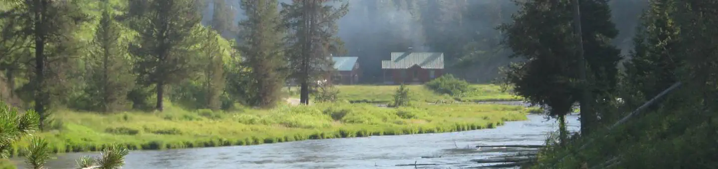
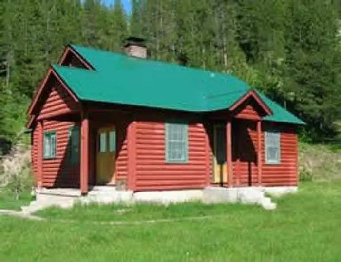
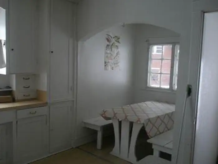
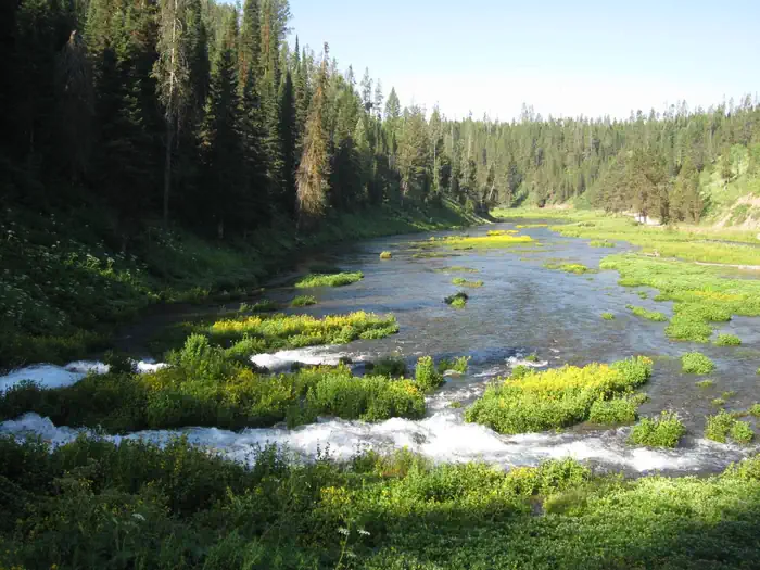
Overview Warm River Cabin is located less than 20 miles from Ashton, Idaho, at Warm River Springs. An Idaho fish and game hatchery operated here from the 1930s to the 1950s. The cabin was formerly the hatchery manager's house. It was constructed by the Civilian Conservation Corps (CCC) in 1938. The cabin is open year-round and can be accessed by car in the warmer months. Snowmobiles and cross-country skis are required to access the cabin on a groomed trail from early December through mid-May. The trek from the nearest available parking at Bear Gulch Trailhead to the cabin is 6 miles. Guests should be prepared to bring much of their own gear and supplies to make their stay comfortable. Recreation Hikers, horseback riders and mountain bikers can use the nearby trails. Off-road vehicle enthusiasts, snowmobilers and cross-country skiers can find trails within 10 miles Visitors can find an abundance of berries ripe for picking in late summer. The Warm River is excellent for trout fishing and wading. Game and game bird hunting is available in season. Facilities This charming cabin can accommodate a maximum of 12 people. It offers six sets of bunkbeds with mattresses, a dining area with a table and benches, a wood stove for cooking and for heating, storage cabinets and firewood. There is a new wood stove located in the living room with available seating as well. A picnic table, campfire ring and vault toilet are located outside the cabin. Natural Features The cabin is named after the adjacent Warm River Springs, which is the source of the Warm River. The dwelling sits at an elevation of 6,000 feet in an open, grassy area flanked by a conifer forest. Moose and bears are sometimes seen in this area Nearby Attractions The cabin is a short distance from the Mesa Falls Scenic Byway. The star attraction of this 29-mile sightseeing drive is Mesa Falls, which is divided into the 114-foot Upper Falls and the 65-foot Lower Falls. This is the only major waterfall in Idaho that isn't used for hydroelectric or irrigation purposes.
From the USFS.Official page
Is WARM RIVER CABIN free?
No. WARM RIVER CABIN charges a fee. It is managed by the USFS. Sites are reservable through recreation.gov.
How do I get to WARM RIVER CABIN?
From Ashton ID, travel east-northeast on Highway 47 (also known as the Mesa Fall Scenic Byway) for approximately 15 miles to the intersection of Highway 47 and Forest Road 150. Turn right onto Forest Road 150 and travel approximately 2.5 miles to the intersection of Forest Road 150 and Forest Road 154. Turn right onto Forest Road 154 and travel approximately 1.0 mile to the intersection of Forest Road 154 and Forest Road 367. Keep left on Forest Road 154 for approximately 1.5 miles to the cabin. The cabin is located across the bridge adjacent to Warm River Springs and Warm River.
Nearby
- Grandview Campground (Idaho)3.8 mi
- Grandview Campground3.8 mi
- Warm River Campground6.6 mi
- WARM RIVER6.7 mi
- Riverside Campground10.9 mi
- RIVERSIDE (ID - TARGHEE)11.1 mi
- Cave Falls Campground12.9 mi
- Box Canyon Campground14.7 mi
No other services within 50 mi on the record.
SourceData from the USFS. Last synced September 19, 2026. Community reports and photos are submitted by travelers and are not verified by the agency.
