
SUNDANCE
Campground · Fee not listed
Fast facts
- Cost
- Not listed. Check locally.
- Type
- Campground
- Phone
- 605-673-9200
- Coordinates
- 44.4431, -104.3481
- Last verified
- September 19, 2026
About this place
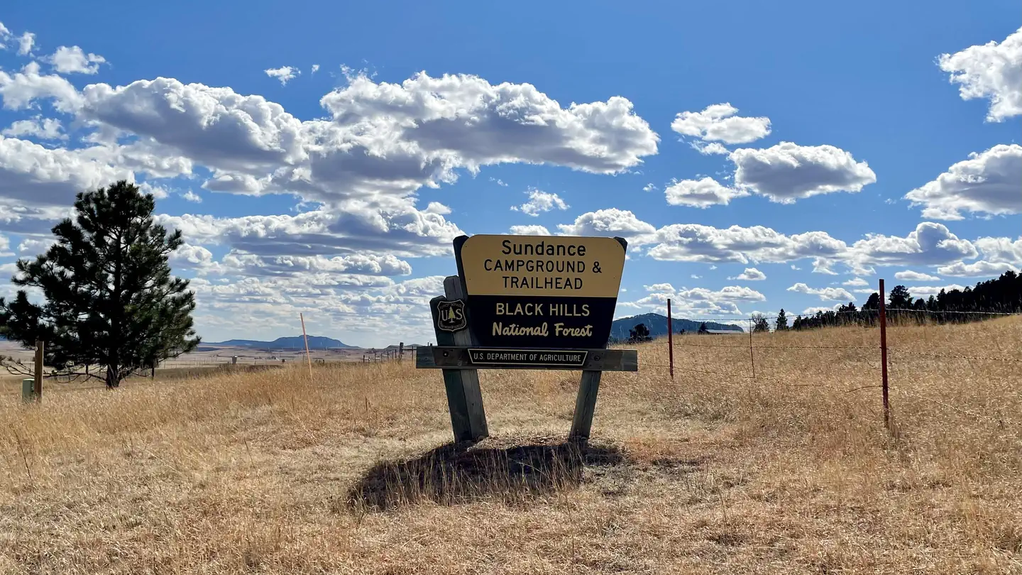
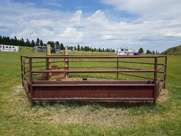
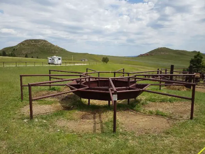
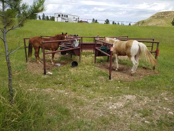
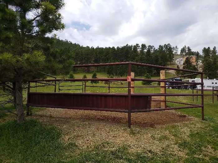
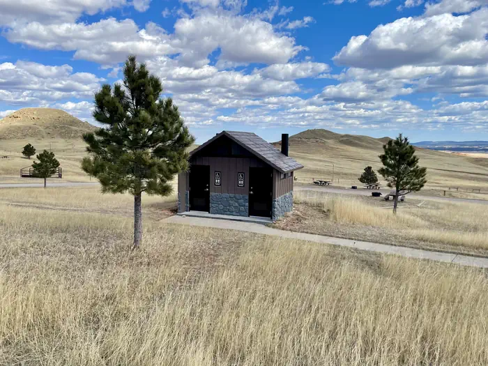
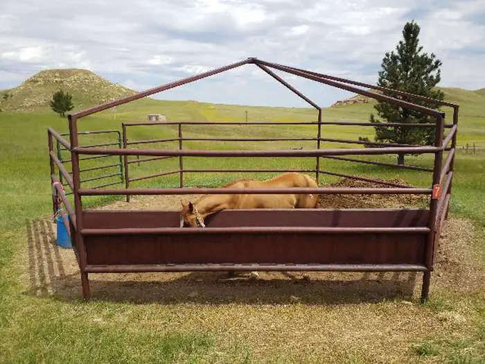
Overview Located at the foothills of Bear Lodge Mountain Range, Sundance Horse Camp is a favorite among horse enthusiasts. It makes an ideal base for enjoying recreation and relaxation in Black Hills National Forest. Expansive grassy areas offer scenic views of the valley and surrounding hills. The Sundance Trailhead is located adjacent to the campground, providing access to miles of non-motorized trails suitable for hiking, biking, and equestrian use. The campground was completely renovated in 2025 using funds generated from campground fees. These updates enhanced access for modern-sized trailers, improved fire safety, reduced maintenance costs, and ensured that all sites meet federal accessibility requirements. Recreation Black Hills National Forest offers a multitude of recreational opportunites throughout all seasons. Hiking, fishing, horseback riding, mountain biking, and riding off-highway vehicles are popular in summer and early autumn. Winter landscapes are ideal for snowshoeing, skiing and snowmobiling. The popular Sundance Trail System can be accessed from this area. The secluded trails of this system weave through a network of densely forested canyons and open ridges that form the Bear Lodge Mountains. Some ridge tops look out to the Custer Expedition Route, Devils Tower, and the Twin Missouri Buttes. Elk, deer and turkey are some of the more common wildlife seen along the trail. Parts of the trail system have existed since the 1800s. As routes to reliable water and the only access to some parts of the Bear Lodge Mountains, they played a key role in the rich mining history of the area. The trail system is maintained for hiking, horseback riding, bicycling and cross-country skiing. Motorized vehicle traffic is not allowed; however, some portions of trails follow existing Forest Service roads open for motorized use. Facilities Sundance Campground has sites able to accommodate tents, trailers, and RVs. Sites are equipped with picnic tables and campfire rings. Electrical hook-ups are not available. This is a traditional campground with horse use facilities, including large parking areas, corrals, feed bunks, and an accessible rider loading ramp. Metal hitching rails located at the north end of the campground are visible from all campsites. The Sundance Trailhead, which provides access to non-motorized trails for hiking, biking, and equine use, is located at this campground. Natural Features Stretching across northeastern Wyoming and western South Dakota, Black Hills National Forest encompasses nearly 1.25 million acres of rugged rock formations, canyons and gulches, open grassland parks, tumbling streams, deep blue lakes, and unique caves. Derived from the Lakota language, the words "Paha Sapa," meaning "hills that are black," honor the dark, pine-covered hills rising several thousand feet above the surrounding prairie. Bighorn sheep navigate mountainous terrain, while elk, deer and pronghorn gather in forests and prairies. Bald eagles, hawks, osprey, peregrine falcon, and hundreds of other bird species can be found in the forest, especially along streams, lakes and rivers. Mountain lions, although rarely seen, also call this area home. Nearby Attractions Warren Peak Lookout Tower, approximately 4 miles north of the campground on FSR 838, provides a panoramic view of South Dakota and Wyoming. Devils Tower National Monument is also a great location to visit. Established as the first United States National Monument on September 24, 1906, by President Theodore Roosevelt, this unique geological formation is valued for its natural, cultural, and recreational significance. Contact Info For facility specific information, please call (661) 702-1420. Charges & Cancellations No refunds will be given for weather or related events.
From the managing agency.
Is SUNDANCE free?
We do not have a fee on record for SUNDANCE. Confirm the cost locally before you go.
How do I get to SUNDANCE?
SUNDANCE is at 44.4431, -104.3481. We do not hold written directions for this one, so navigate to the coordinates.
Nearby
- Sundance Horse Camp0.1 mi
- REUTER CAMPGROUND3.9 mi
- COOK LAKE REC AREA10.9 mi
- Cook Lake Campground10.9 mi
- Bearlodge Campground14.6 mi
- Timon Campground19.5 mi
- Belle Fourche River Campground20.1 mi
- Rod And Gun Campground20.4 mi
No other services within 50 mi on the record.
SourceSource data is agency published. Last synced September 19, 2026. Community reports and photos are submitted by travelers and are not verified by the agency.
