
Stateline Campground Long Term
Campground · Fee
Fast facts
- Cost
- Fee charged
- Type
- Campground
- Phone
- 385-273-1100
- Nearest dump station
- Lily Lake Comfort Station · 23.5 mi
- Coordinates
- 40.9923, -110.3896
- Last verified
- September 19, 2026
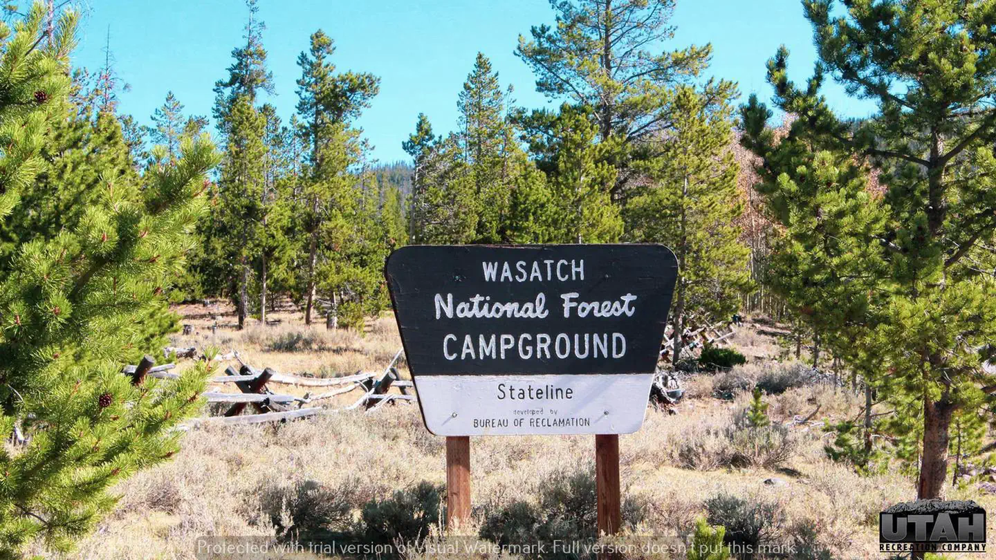
About this place
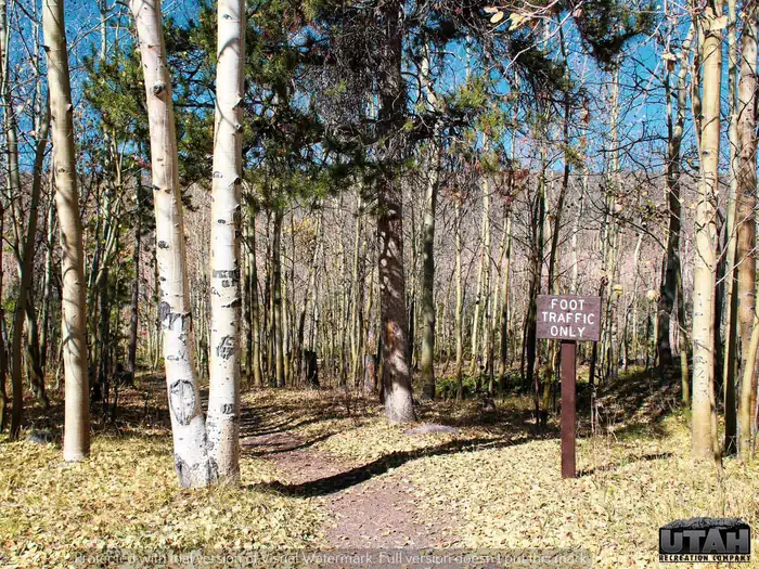
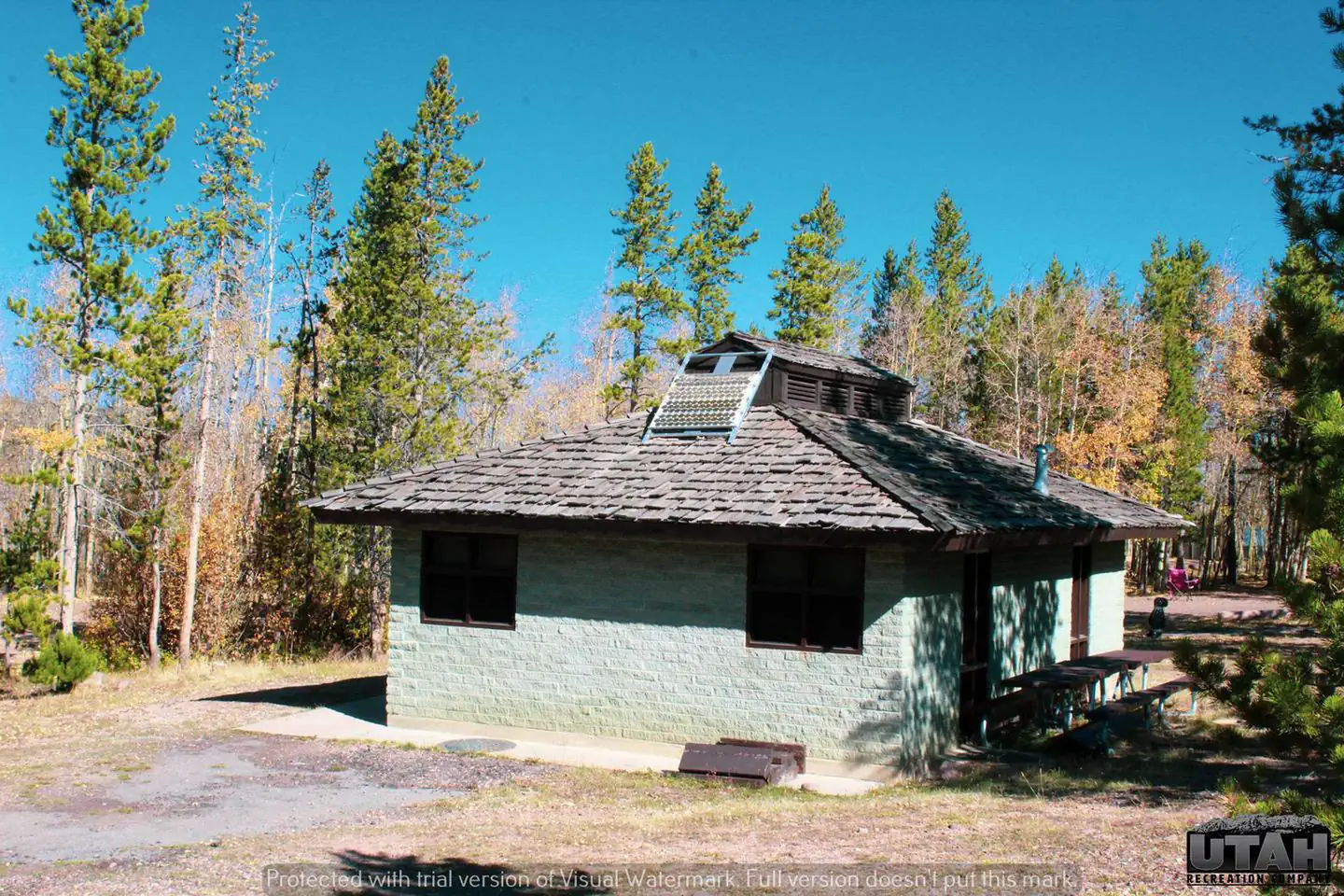
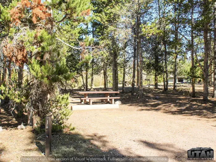
Overview Stateline Campground is located next to Stateline Reservoir on the northern slope of the Uinta Mountains at an elevation of 9,200 feet, about 21 miles from Mountain View, Wyoming. Visitors enjoy fishing, canoeing and exploring local trails. Recreation Stateline Reservoir offers rainbow and cutthroat trout fishing, canoeing, kayaking and boating for small watercraft. Several off-road vehicle, hiking, biking and horseback riding trails crisscross the area. China Meadows Trailhead is nearby, giving hikers and horseback riders access to the High Uintas. Facilities Drinking water, vault toilets and trash collection are provided at the campground. Although the site is accessed via a maintained dirt road, roads and parking spurs within the campground are paved. A dump station is located across the road from Stateline. Natural Features A thin forest of lodgepole pine, ponderosa pine and aspen covers the area, providing very little shade. Summer wildflowers and grasses dot the campground. A variety of wildlife makes its home around the lake, including moose and deer. Nearby Attractions The Uinta Mountains are comprised of beautiful canyons, soaring peaks, pristine lakes, rivers and streams. Outdoor enthusiasts come to enjoy the natural beauty of this rugged region. The area is filled with hiking, biking, horseback and off-road vehicle riding trails. Many lakes offer fishing and canoeing opportunities.
From the managing agency.
Is Stateline Campground Long Term free?
No. Stateline Campground Long Term charges a fee.
How do I get to Stateline Campground Long Term?
Stateline Campground Long Term is at 40.9923, -110.3896. We do not hold written directions for this one, so navigate to the coordinates.
Nearby
SourceSource data is agency published. Last synced September 19, 2026. Community reports and photos are submitted by travelers and are not verified by the agency.
