
LITTLE COTTONWOOD GROUP
Campground · Fee not listed
Fast facts
- Cost
- Not listed. Check locally.
- Type
- Campground
- Phone
- 541-351-1182
- Coordinates
- 43.1914, -110.9356
- Last verified
- September 19, 2026
About this place
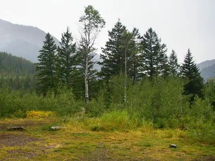
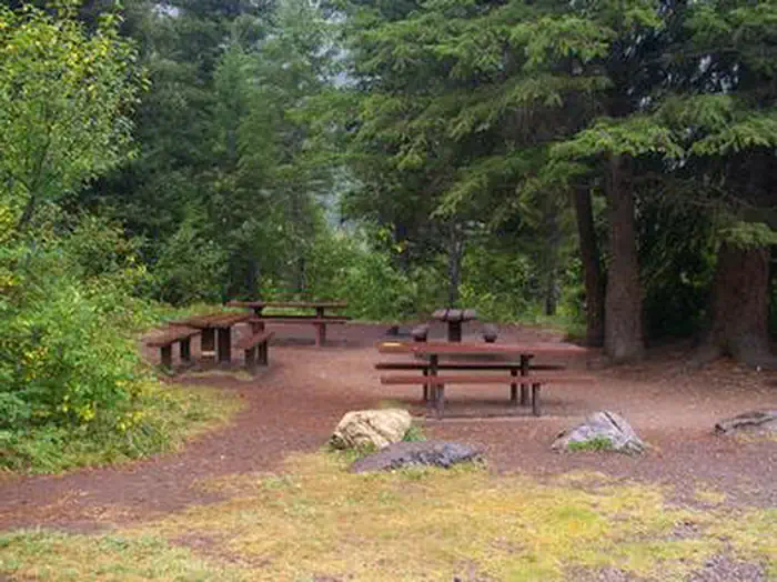
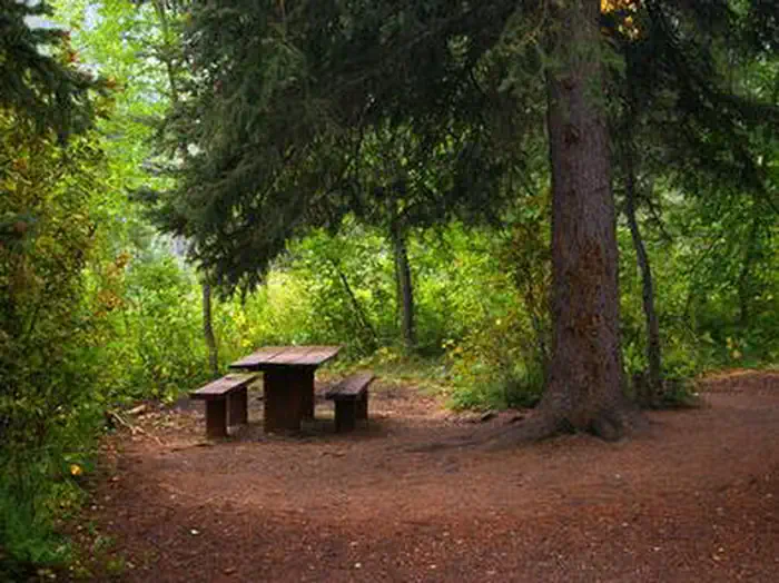
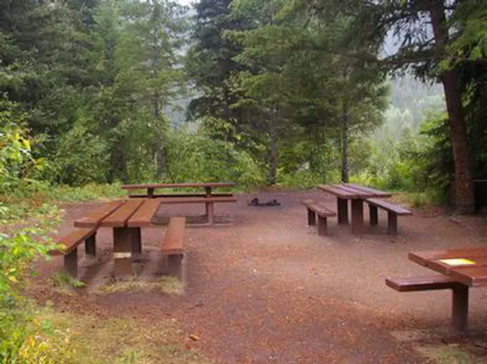
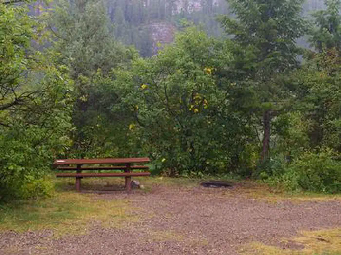
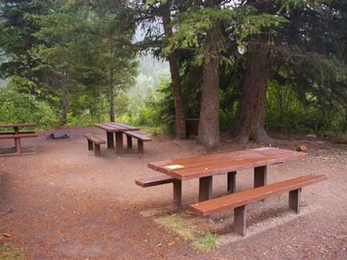
Overview Little Cottonwood Group Campground is located in beautiful Snake River Canyon, just 30 miles southwest of Jackson, in western Wyoming. It sits at an elevation of 5,700 feet. Visitors enjoy fishing and whitewater rafting on the adjacent Snake River. Recreation Fly-fishing for cutthroat, rainbow and brown trout is a popular activity on the Snake, as is whitewater rafting and kayaking. A boat ramp is nearby. Facilities The campground offers one group campsite that can accommodate up to 40 people. The site is equipped with picnic tables, a campfire circle and food storage lockers. Vault toilets, drinking water and trash collection are provided, but there is no electricity. The parking area within the campground is dirt. Natural Features The campground is situated in a forest of pine and aspen trees, which provide partial shade. Summer wildflowers are abundant. The Snake River is below the campground, down the hillside. Nearby Attractions The city of Jackson is about 25 miles north, offering restaurants, groceries, shops, galleries and ski resorts with summer activities. Grand Teton National Park is approximately 40 miles north of the campground. It provides opportunities for boating, fishing, hiking, canoeing and outstanding mountain scenery.
From the managing agency.
Is LITTLE COTTONWOOD GROUP free?
We do not have a fee on record for LITTLE COTTONWOOD GROUP. Confirm the cost locally before you go.
How do I get to LITTLE COTTONWOOD GROUP?
LITTLE COTTONWOOD GROUP is at 43.1914, -110.9356. We do not hold written directions for this one, so navigate to the coordinates.
Nearby
- Little Cottonwood Group Campground0.1 mi
- Wolf Creek Campground1.7 mi
- Station Creek Group Campground5.2 mi
- STATION CREEK CAMPGROUND5.2 mi
- ALPINE NORTH LOOP5.3 mi
- Alpine Campground & Group Area5.4 mi
- East Table Group Campground6.6 mi
- East Table Campground6.6 mi
No other services within 50 mi on the record.
SourceSource data is agency published. Last synced September 19, 2026. Community reports and photos are submitted by travelers and are not verified by the agency.
