
COTTONWOOD GROUP PICNIC SITE
Campground · Fee
Fast facts
- Cost
- Fee charged
- Type
- Campground
- Phone
- 307-886-5300
- Coordinates
- 42.6383, -110.8164
- Last verified
- September 19, 2026
About this place
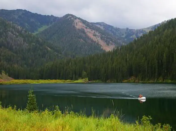
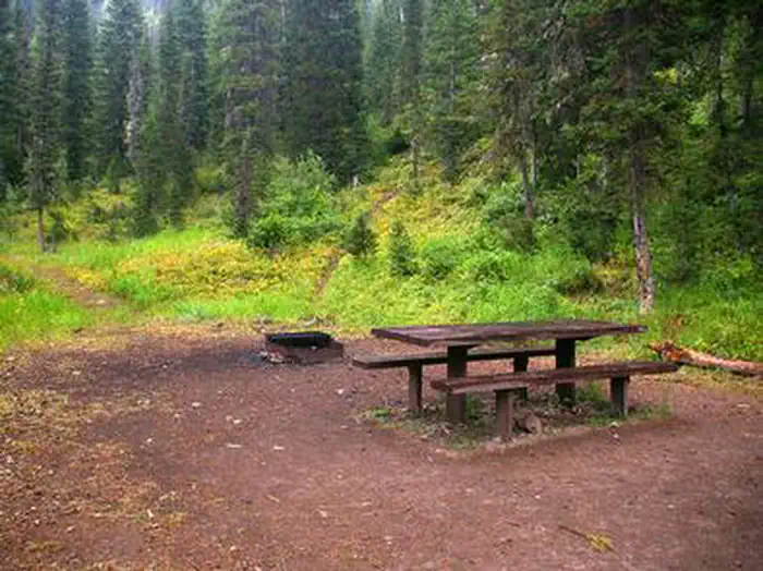
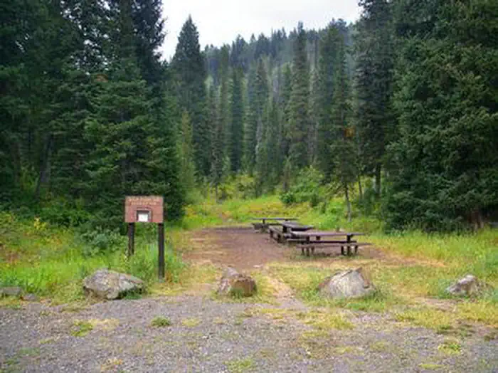
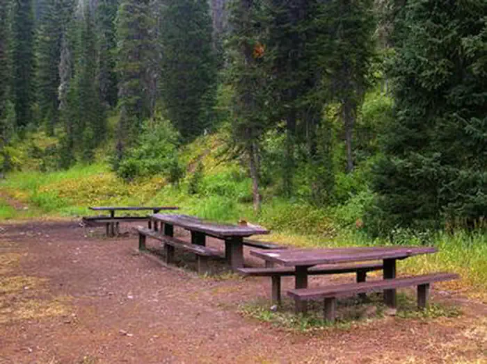
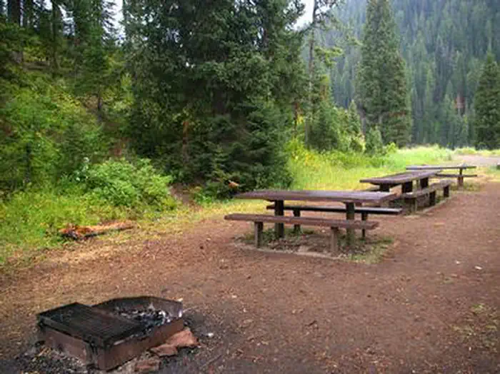
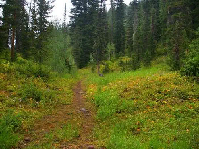
Overview Cottonwood Group Picnic Site is located next to scenic Cottonwood Lake on the Salt River Mountains, surrounded by the forests of western Wyoming. Recreation The lake offers great canoeing and boating for smaller craft, as well as fishing for brook and cutthroat trout. Hiking, mountain biking, off-road vehicle and horseback riding trails are in the area. Facilities This day-use picnic site can accommodate up to 25 guests and 8-10 vehicles. Vault toilets and drinking water are provided. A group overnight campsite is available for reservations here . Natural Features The picnic site is located above Cottonwood Lake, near the peaceful North Fork Creek. A forest of pines and aspens offers shade, and vibrant summer wildflowers are abundant. The Bridger-Teton National Forest offers more than 3.4 million acres of public land for outdoor recreation. With its pristine watersheds, abundant wildlife and immense wildlands, the forest comprises a large part of the Greater Yellowstone Ecosystem, the largest intact ecosystem in the lower 48 United States.
From the managing agency.
Is COTTONWOOD GROUP PICNIC SITE free?
No. COTTONWOOD GROUP PICNIC SITE charges a fee.
How do I get to COTTONWOOD GROUP PICNIC SITE?
COTTONWOOD GROUP PICNIC SITE is at 42.6383, -110.8164. We do not hold written directions for this one, so navigate to the coordinates.
Nearby
- Cottonwood Lake Campground0.1 mi
- COTTONWOOD GROUP CAMPSITE0.2 mi
- Swift Creek Campground7.6 mi
- CAZIER CABIN8.1 mi
- LA BARGE GUARD STATION10.1 mi
- ALLRED FLATS GROUP PICNIC SITE12.7 mi
- Allred Flat Campground12.9 mi
- Middle Piney Lake Picnic Site13.0 mi
No other services within 50 mi on the record.
SourceSource data is agency published. Last synced September 19, 2026. Community reports and photos are submitted by travelers and are not verified by the agency.
