
Trout Pond Recreation Area
Campground · Fee not listed
Fast facts
- Cost
- Not listed. Check locally.
- Type
- Campground
- Phone
- 1(304)897-6450
- Coordinates
- 38.9528, -78.7347
- Last verified
- September 19, 2026
About this place
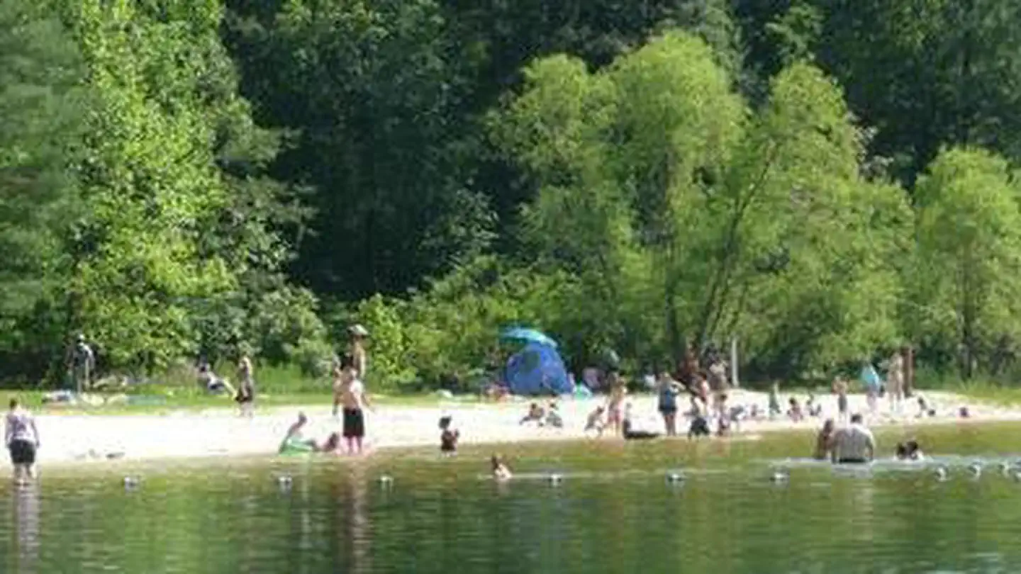
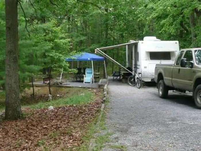
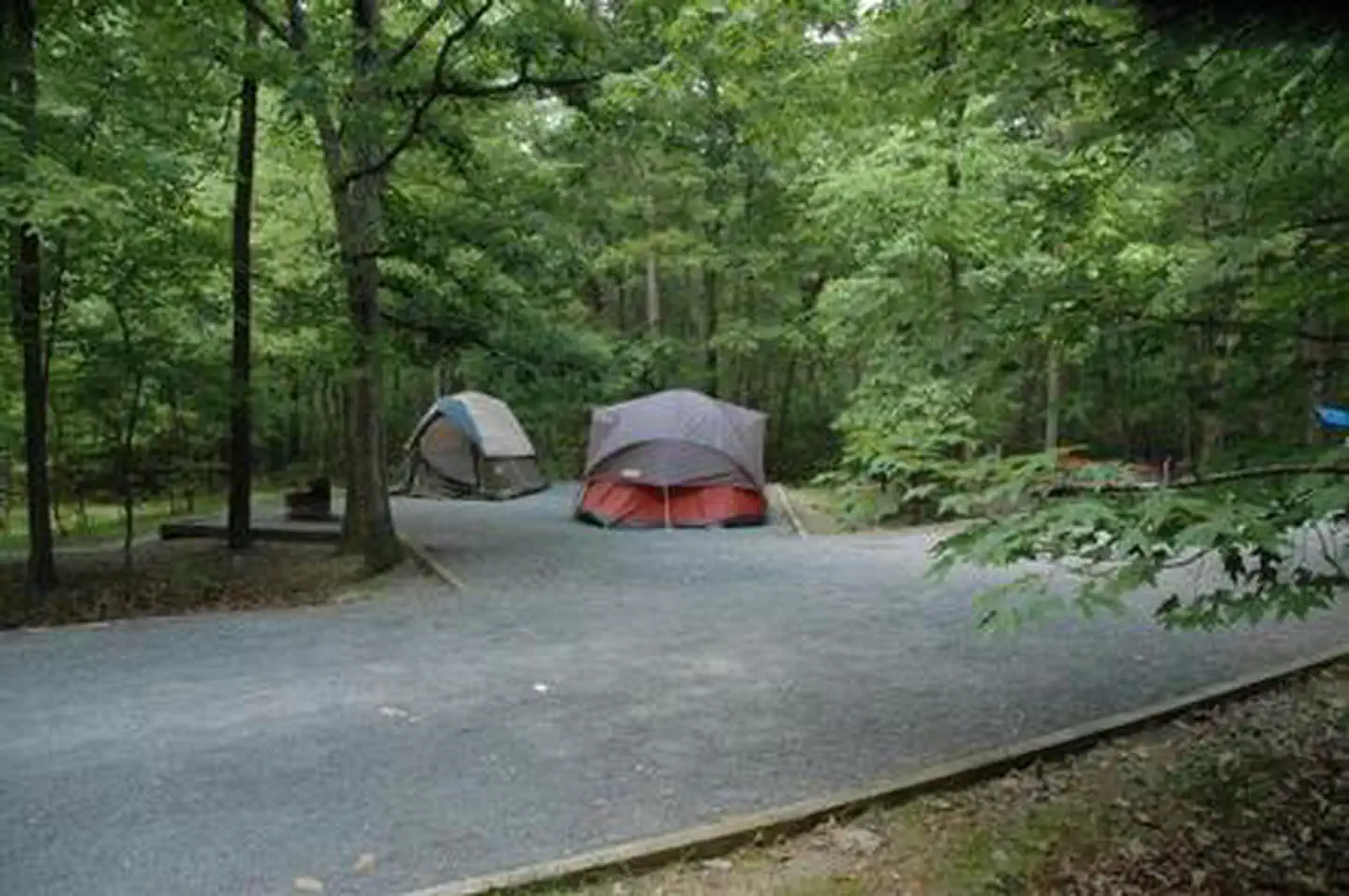
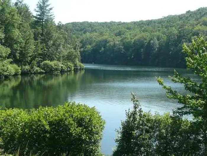
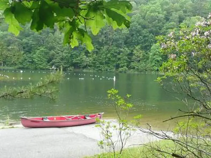
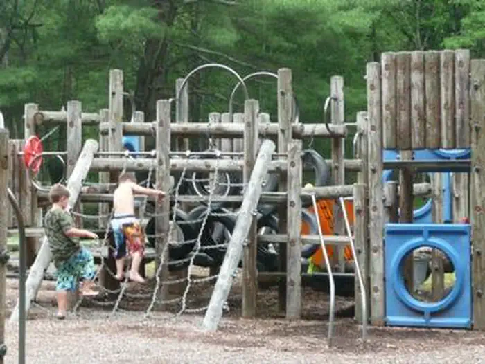
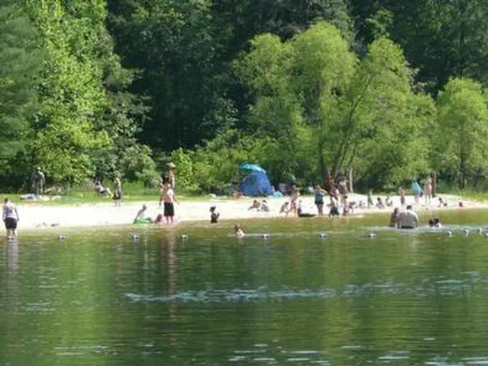
Overview Trout Pond Recreation Area boasts two bodies of water, Rock Cliff Lake and Trout Pond. Relax on a sandy mountain beach or fish for stocked trout while relaxing along the cool waters of Rock Cliff Lake. Trout Pond, home to native Brook trout, is the only natural lake in West Virginia. A designated swimming area, easy lakeside trails, and a children's playground make this a perfect family destination. Recreation A trail surrounding the entire lake provides bank fishing access at Rock Cliff Lake. All types of boating from motor to sailboats are welcome. Hike the Trout Pond Loop trail, an easy 4-mile excursion, with an optional 2-mile side route, to an overlook of Rockcliff Lake. For a more challenging hike, a connecting trail provides a steep climb up Long and Devil's Hole Mountains. Facilities Campsites come with a campfire ring and picnic table, and some of have electric hookups. Hot showers and flush toilets are an easy walk away from each site. The day-use area includes a white-sand swim beach, boat ramp, showers, playground and 30 picnic sites. Natural Features Rock Cliff Lake is a 17-acre man-made lake with a maximum depth of 36 feet and an average depth of 12 feet. Trout Pond, the naturally formed lake, was created by a sinkhole that filled with mountain stream water and run-off from Long Mountain. Trout Pond can vary in waterflow. Please visit the Forest Service website for our most up to date conditions. Contact Info This location has limited staffing. Please call (540) 984-4101 for general information. Charges & Cancellations group shelter nonelectric 1-50 people $65, 51-100 people $100, standard non electric is $19.00 per night
From the managing agency.
Is Trout Pond Recreation Area free?
We do not have a fee on record for Trout Pond Recreation Area. Confirm the cost locally before you go.
How do I get to Trout Pond Recreation Area?
Trout Pond Recreation Area is at 38.9528, -78.7347. We do not hold written directions for this one, so navigate to the coordinates.
Nearby
- Trout Pond Campground0.0 mi
- Wolf Gap Campground3.1 mi
- Mill Mountain Shelter5.3 mi
- Paul Gerhard Tuscarora Trail Shelter11.3 mi
- Little Fort Campground16.7 mi
- Camp Roosevelt19.2 mi
- Little Crease Trail Shelter20.8 mi
- Elizabeth Furnace Campground21.8 mi
No other services within 50 mi on the record.
SourceSource data is agency published. Last synced September 19, 2026. Community reports and photos are submitted by travelers and are not verified by the agency.
