
JESS JUDY
Campground · Fee not listed
Fast facts
- Cost
- Not listed. Check locally.
- Type
- Campground
- Phone
- 304-358-3253
- Coordinates
- 38.8957, -79.2463
- Last verified
- September 19, 2026
About this place
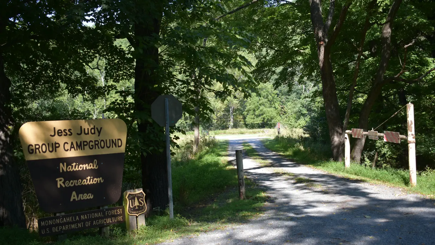
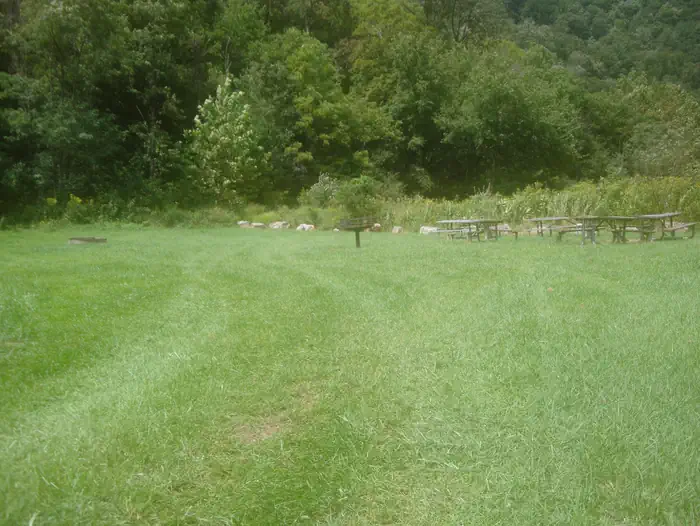
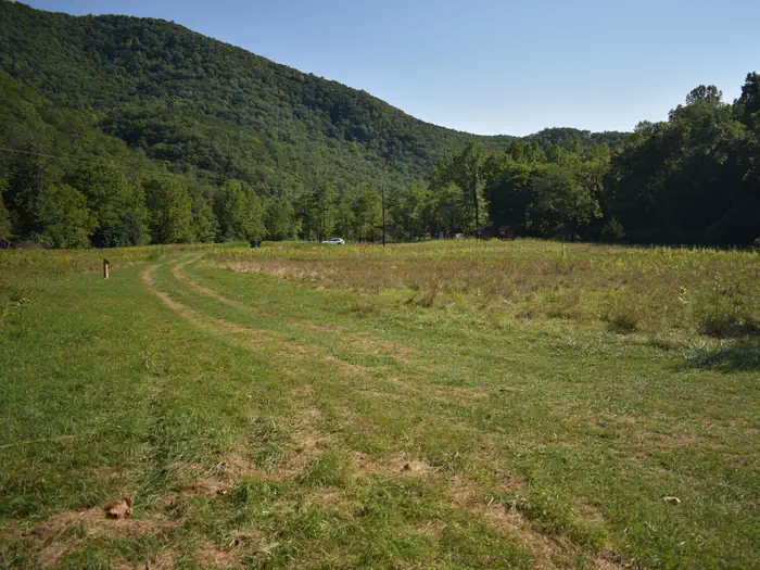
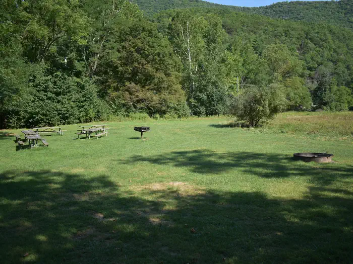
Overview The Jess Judy Group Campground is located on the South Branch of the Potomac River, in West Virginia's eastern panhandle, about 1.5 miles south of Big Bend. Canoeing, fishing and hiking are popular activities. Jess Judy contains three reservable sites that will accommodate up to 40 people each. The campground contains fire rings, picnic tables, lantern posts, and four single-unit vault toilets. There is no electric or drinking water at the group campground although persons camping at Jess Judy Group Campground may obtain water at Big Bend Campground. The group campground is not accessible. About 1.3 million visitors come to the Monongahela National Forest each year, and it's no surprise why. The forest is a drivable distance from cities like Washington D.C. and Pittsburgh, yet the density of flora, fauna and picturesque mountains seem like a world away from any city. Recreation Visitors enjoy canoeing and fishing on the river, and hiking on local trails. Thirty miles of maintained trails can be found nearby and mountain biking is permitted on most of them. One highly recommended trail for hikers and backpackers is the North Fork Mountain Trail. Facilities The campground has three primitive group sites that can accommodate up to 40 people each. No drinking water is available, so please bring your own supply. Accessible vault toilets are provided. Natural Features Jess Judy Group Campground is situated in the northern portion of the Monongahela National Forest, on the western banks of the river. The region boasts beautiful old-growth forests that become vibrant with color in fall. The South Branch of the Potomac River runs north through Smoke Hole Canyon, which bears a name of uncertain origin. One theory is Native Americans once used the caves in the canyon for smoking meat, which created "smoke holes." Another is that misty fog often lies along the river and ascends in what looks like smoke from a hole. Nearby Attractions Traverse through narrow, steep valleys and over rolling, tree-topped mountains on the Highland Scenic Highway. This 43-mile drive includes highlights like Cranberry Glades Botanical Area, Summit Lake, and the Falls of Hills Creek.
From the managing agency.
Is JESS JUDY free?
We do not have a fee on record for JESS JUDY. Confirm the cost locally before you go.
How do I get to JESS JUDY?
JESS JUDY is at 38.8957, -79.2463. We do not hold written directions for this one, so navigate to the coordinates.
Nearby
- BIG BEND (WV)0.0 mi
- SENECA SHADOWS9.1 mi
- Red Creek Campground10.1 mi
- Camp Run Campground12.7 mi
- SPRUCE KNOB LAKE17.0 mi
- Brandywine Recreation Area20.9 mi
- Brandywine Campground20.9 mi
- GATEWOOD GROUP22.0 mi
No other services within 50 mi on the record.
SourceSource data is agency published. Last synced September 19, 2026. Community reports and photos are submitted by travelers and are not verified by the agency.
