
FISHTRAP LAKE SHELTERS
Campground · Fee not listed
Fast facts
- Cost
- Not listed. Check locally.
- Type
- Campground
- Phone
- 606-437-7496
- Coordinates
- 37.4358, -82.3475
- Last verified
- September 19, 2026

About this place
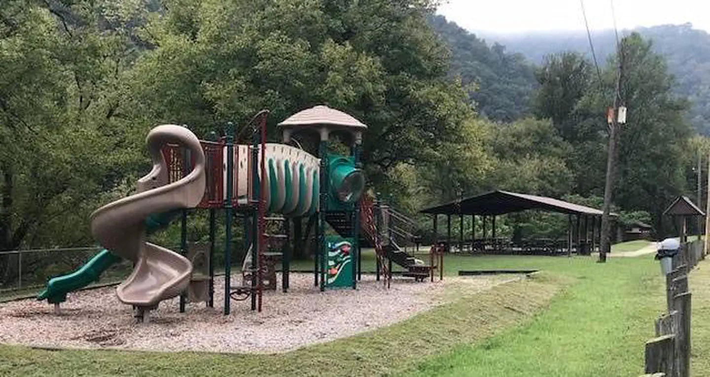
Overview Nestled among mountains and dense forests, the Fishtrap Lake area will appeal to anyone who loves boating, fishing or hiking. A man-made lake surrounded by natural beauty, Fishtrap Lake was created to help control flooding along the Ohio and Big Sandy Rivers. The lake's location allows visitors to choose from endless recreational opportunities, whether its water sports on the lake, hiking on nearby trails or picnicking in the picturesque group area. Recreation Boat ramps are available for fisherman and boating enthusiasts. The surrounding wildlife area provides numerous trails for hiking and horseback riding, and additional developed trails can be accessed at the nearby Lick Creek Recreation Area. Facilities Fishtrap Lake Shelters provide covered picnic areas with playgrounds, perfect for kids. While everyone can appreciate the scenery provided by the lake, which serves as a breathtaking backdrop to any party or family get-together. Shelters one and two are located at the Dam Site Recreation Area, and shelters three and four are located at the Grapevine Recreation Area. Camping is also available nearby at the Grapevine Recreation Area. Natural Features Fishtrap Lake sits in the rich coalfield country of Kentucky, surrounded by steep and lush mountainous terrain. The site is well-known for wildlife viewing and has become a haven for local animals, especially deer. Nearby Attractions Downtown Pikeville is 20 minutes North from project which provides; Hatfield Mccoy History tours, Dueling Barrel Brewery and Distillery, Kayaking, Horse Trails, Zipline, Jenny Wiley Theatre, and EXPO Center.
From the managing agency.
Is FISHTRAP LAKE SHELTERS free?
We do not have a fee on record for FISHTRAP LAKE SHELTERS. Confirm the cost locally before you go.
How do I get to FISHTRAP LAKE SHELTERS?
FISHTRAP LAKE SHELTERS is at 37.4358, -82.3475. We do not hold written directions for this one, so navigate to the coordinates.
Nearby
- JOHN W. FLANNAGAN DAY USE13.7 mi
- LOWER TWIN CAMPGROUND (VA)13.9 mi
- POUND RIVER CAMPGROUND (VA)17.5 mi
- CRANESNEST CAMPGROUND (VA)20.0 mi
- German Campground26.8 mi
- Laurel Fork Primitive Camp27.2 mi
- PHILLIP'S CREEK GROUP PICNIC AREA28.8 mi
- Cane Patch Campground29.4 mi
No other services within 50 mi on the record.
SourceSource data is agency published. Last synced September 19, 2026. Community reports and photos are submitted by travelers and are not verified by the agency.
