
BLUE MEADOW
Campground · Fee
Fast facts
- Cost
- Fee charged
- Type
- Campground
- Phone
- 304-536-2144
- Coordinates
- 37.9250, -80.2500
- Last verified
- September 19, 2026




About this place
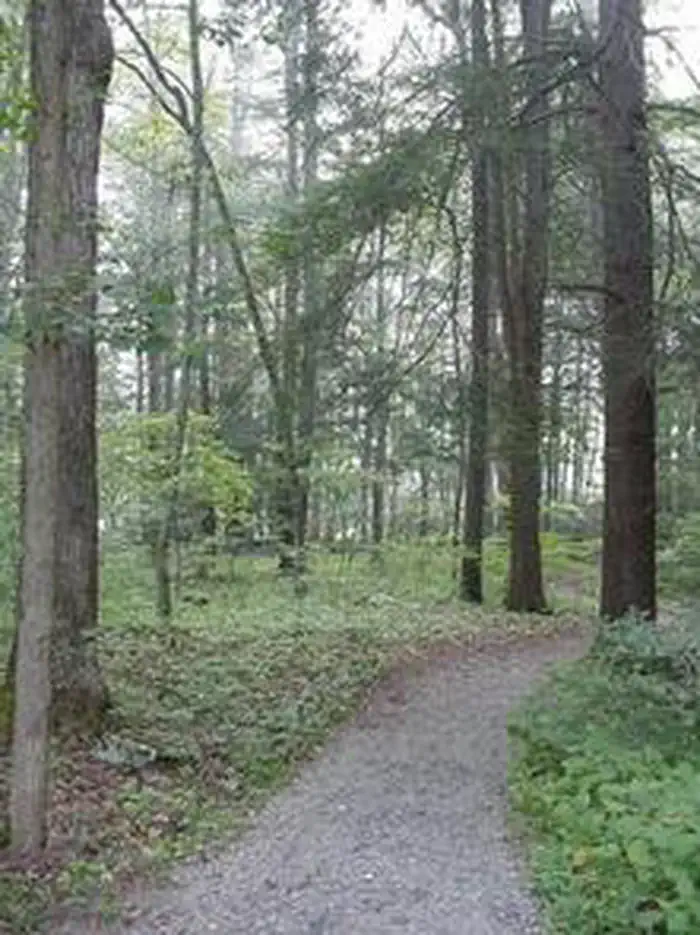
Overview Blue Meadow is a group campground. In the event that this campground has not been reserved, it may be opened for overflow. At this time, sites 1-17 may be claimed as individual campsites on a first come, first serve basis. Recreation Anthony Creek attracts anglers looking for trout. The "Blue Hole" in the creek is a favorite spot for swimming. Nearby Big Draft Wilderness provides an opportunity to explore more remote areas of teh Forest. Anthony Creek Trail follows the creek in a narrow valley filled with rhododendron and many flowering forest trees. Blue Bend Loop Trail offers 3 scenic overlooks. Both trails are recommended for hikers and bird watchers. Facilities Blue Meadow's group campground is divided into 17 campsites, including 4 walk-to sites. It comes with picnic tables, grills, lantern posts and trash collection services. Vault toilets are available, but drinking water is not on-site. Drinking water can be accessed from the Blue Bend Campground. Natural Features At an elevation of 1,860 feet, the campground is in a pleasant, wooded valley along Anthony Creek. Across the creek lies Round Mountain. The Monongahela National Forest comprises about a million acres of forest that attracts 1.3 million visitors each year. A variety of animals make their home here, including black bear, coyote, wild turkey, white-tailed deer, red and gray fox, bobcat, fisher, otter and mink. Contact Info For facility specific information, please call (681) 368-0663. Nearby Attractions The Greenbrier Resort in White Sulphur Springs, West Virginia is a 15 minute drive. The West Virginia State Fair, held in August each year, is located 30 minutes away in Lewsiburg, West Virginia.
From the managing agency.
Is BLUE MEADOW free?
No. BLUE MEADOW charges a fee.
How do I get to BLUE MEADOW?
BLUE MEADOW is at 37.9250, -80.2500. We do not hold written directions for this one, so navigate to the coordinates.
Nearby
- BLUE BEND REC AREA1.2 mi
- Hopkins Mountain Fireman's Cabin1.4 mi
- LAKE SHERWOOD14.2 mi
- MORRIS HILL CAMPGROUND15.2 mi
- Greenwood Point Campground15.8 mi
- COLES POINT 15.8 mi
- Bolar Mountain Campground15.9 mi
- Morris Hill Group Campground15.9 mi
No other services within 50 mi on the record.
SourceSource data is agency published. Last synced September 19, 2026. Community reports and photos are submitted by travelers and are not verified by the agency.
