
SPEARHEAD POINT SHELTER
Campground · Fee not listed
Fast facts
- Cost
- Not listed. Check locally.
- Type
- Campground
- Phone
- 715-784-4875
- Coordinates
- 45.3278, -90.4469
- Last verified
- September 19, 2026



About this place
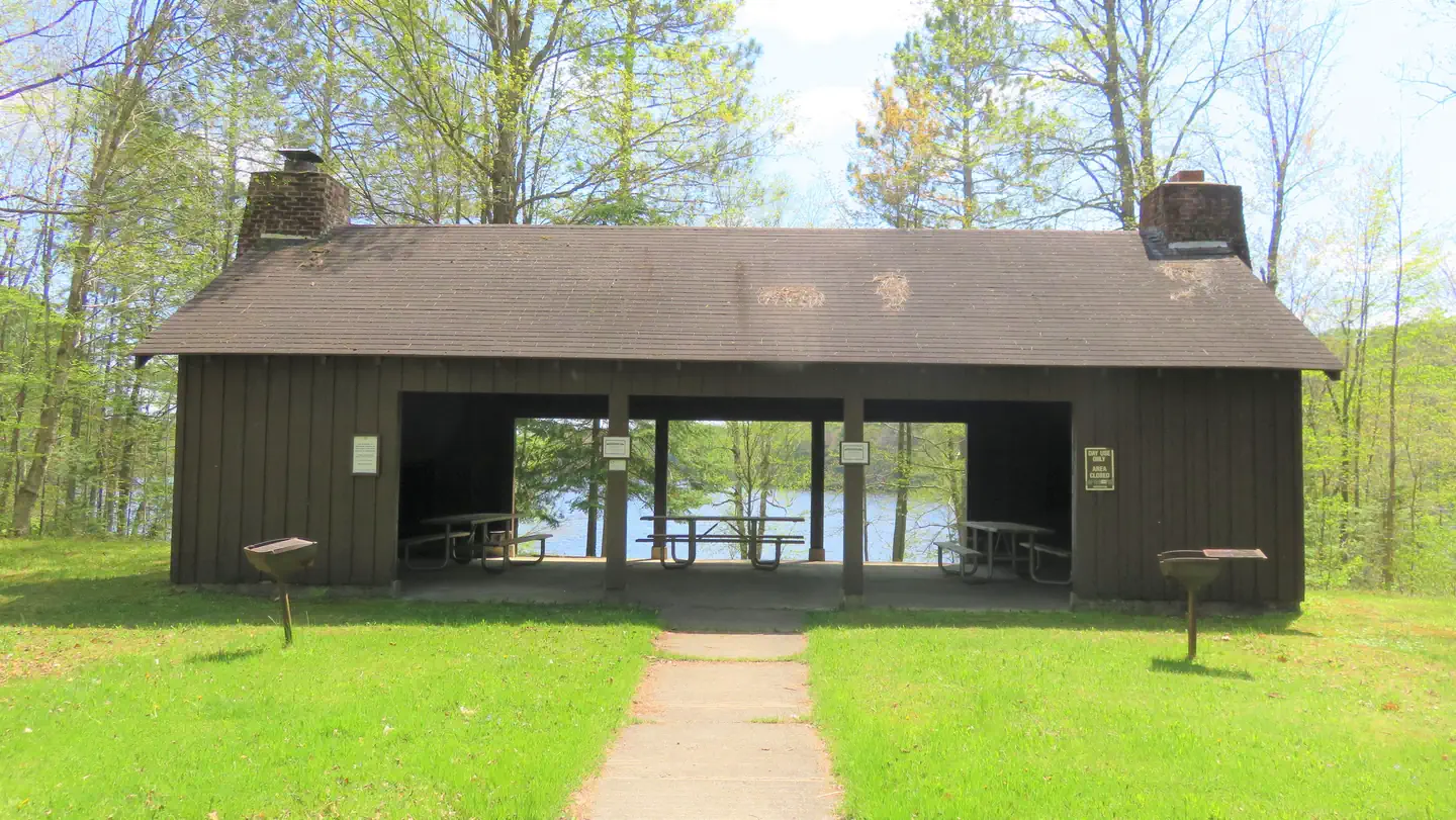
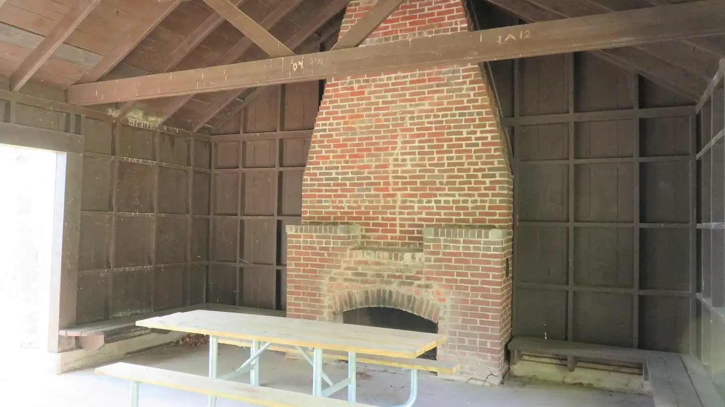
Overview Spearhead Point Shelter is a day-use picnic site for large groups. It is located in one of the most popular areas surrounding Mondeaux Flowage in northern Wisconsin. Nearby, visitors can access the lake and numerous trails. Recreation Boating, swimming and fishing are popular activities. Anglers can expect to find a variety of species, including pike, largemouth bass and bluegill. Boats with and without motors are allowed on the lake, however the lake is quite shallow in some areas. A portion of the Ice Age National Scenic Trail is easily accessed from the campground. The trail is open to hiking and wanders 1,200 miles along the edge of a historic glacier that once covered the state of Wisconsin and much of North America. Facilities The accessible picnic shelter can accommodate up to 30 people. It is equipped with picnic tables and grills. Two stone fireplaces are available inside the shelter. Accessible vault toilets and drinking water are also provided. Overnight camping is not allowed at the shelter but is available at adjacent Spearhead Point Campground. Natural Features The shelter is located within the Spearhead Point Campground at an elevation of 1,140 feet. Tall trees surround the shelter, which is nestled along the western shore of 411-acre Mondeaux Flowage. Nearby Attractions The city of Westboro is about 10 miles away.
From the managing agency.
Is SPEARHEAD POINT SHELTER free?
We do not have a fee on record for SPEARHEAD POINT SHELTER. Confirm the cost locally before you go.
How do I get to SPEARHEAD POINT SHELTER?
SPEARHEAD POINT SHELTER is at 45.3278, -90.4469. We do not hold written directions for this one, so navigate to the coordinates.
Nearby
- SPEARHEAD POINT0.0 mi
- EASTWOOD0.3 mi
- EASTWOOD CAMPGROUND0.3 mi
- West Point0.8 mi
- West Point Recreation Area0.8 mi
- Picnic Point1.6 mi
- PICNIC POINT (WI)1.6 mi
- North Twin Lake Recreation Area3.2 mi
No other services within 50 mi on the record.
SourceSource data is agency published. Last synced September 19, 2026. Community reports and photos are submitted by travelers and are not verified by the agency.
