
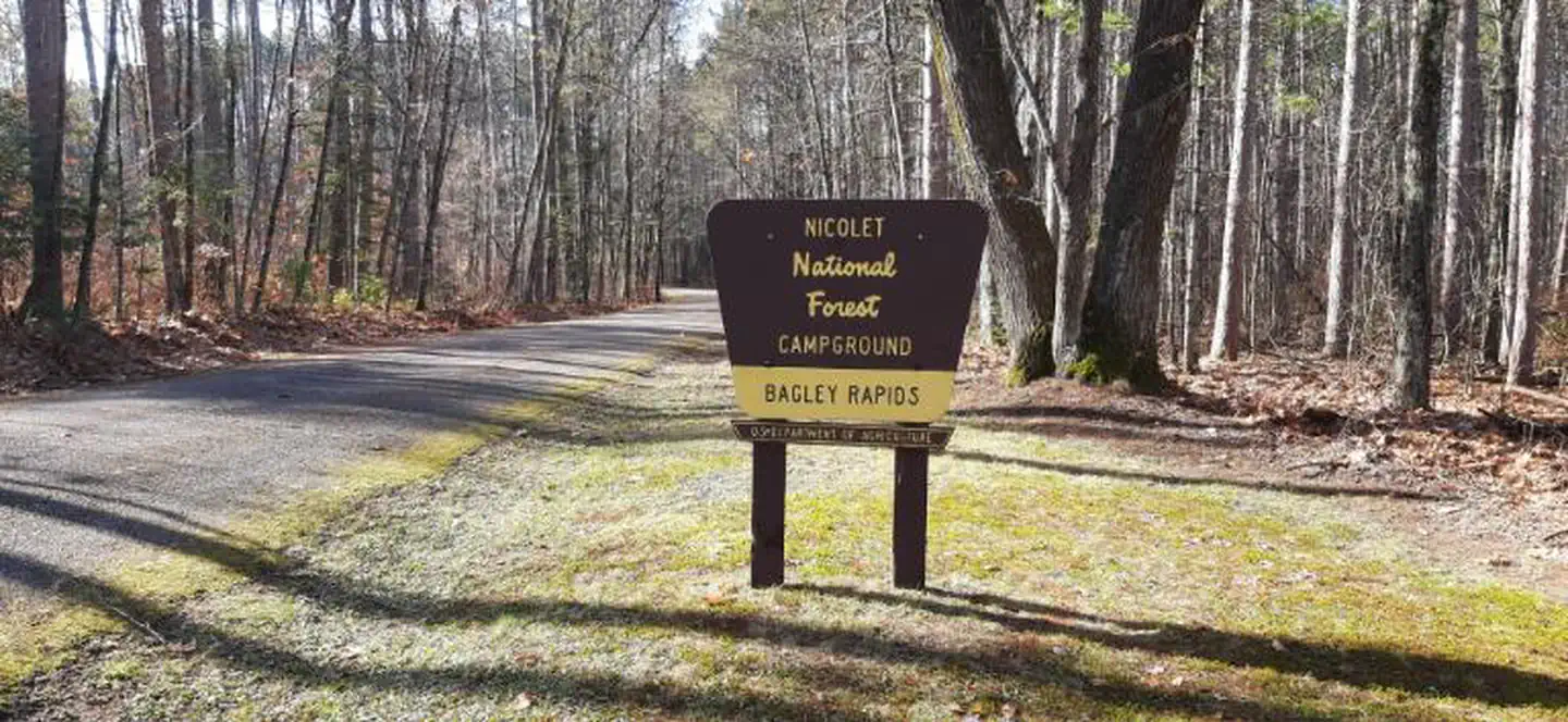
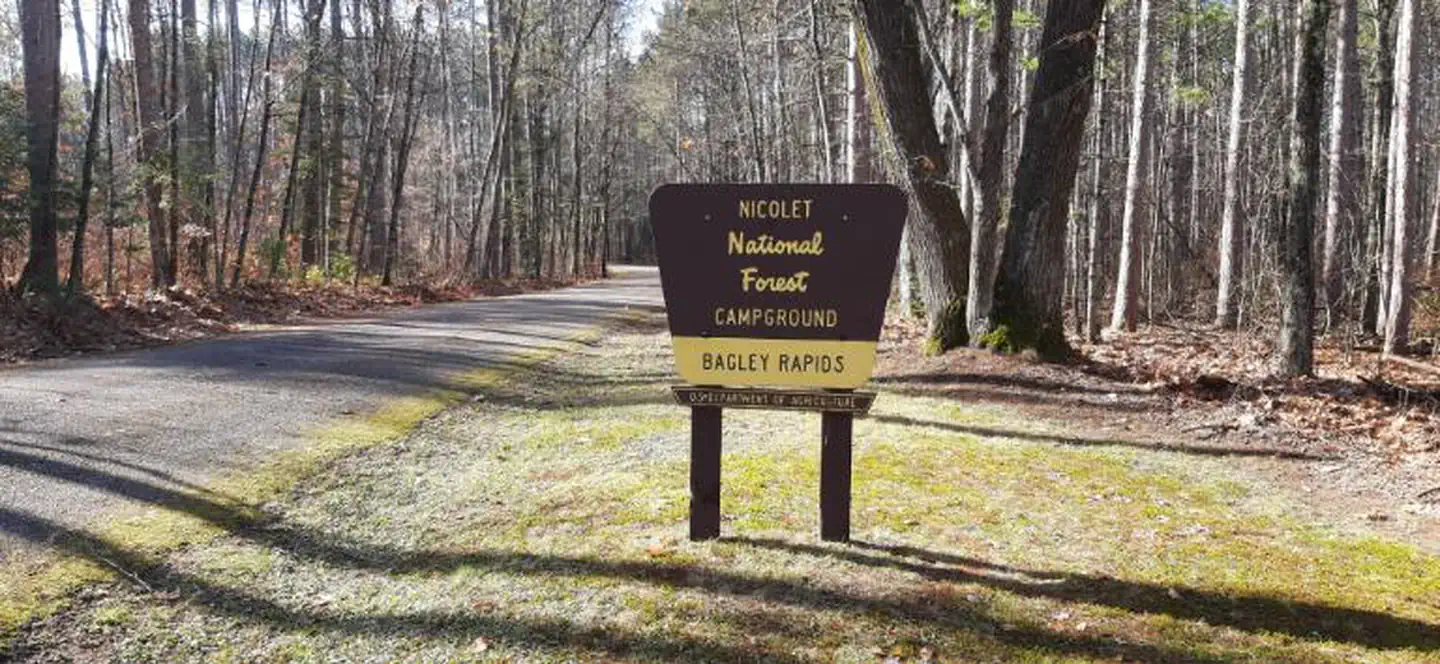
Bagley Rapids Campground
Campground · Fee
Fast facts
- Cost
- Fee charged
- Type
- Campground
- Coordinates
- 45.1575, -88.4659
- Last verified
- September 19, 2026
About this place
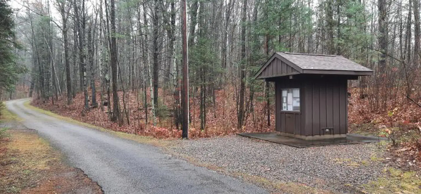
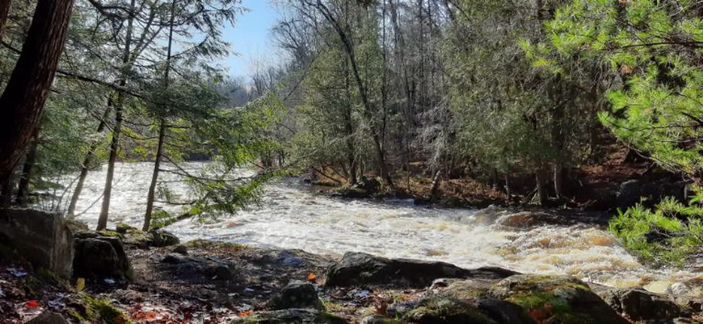
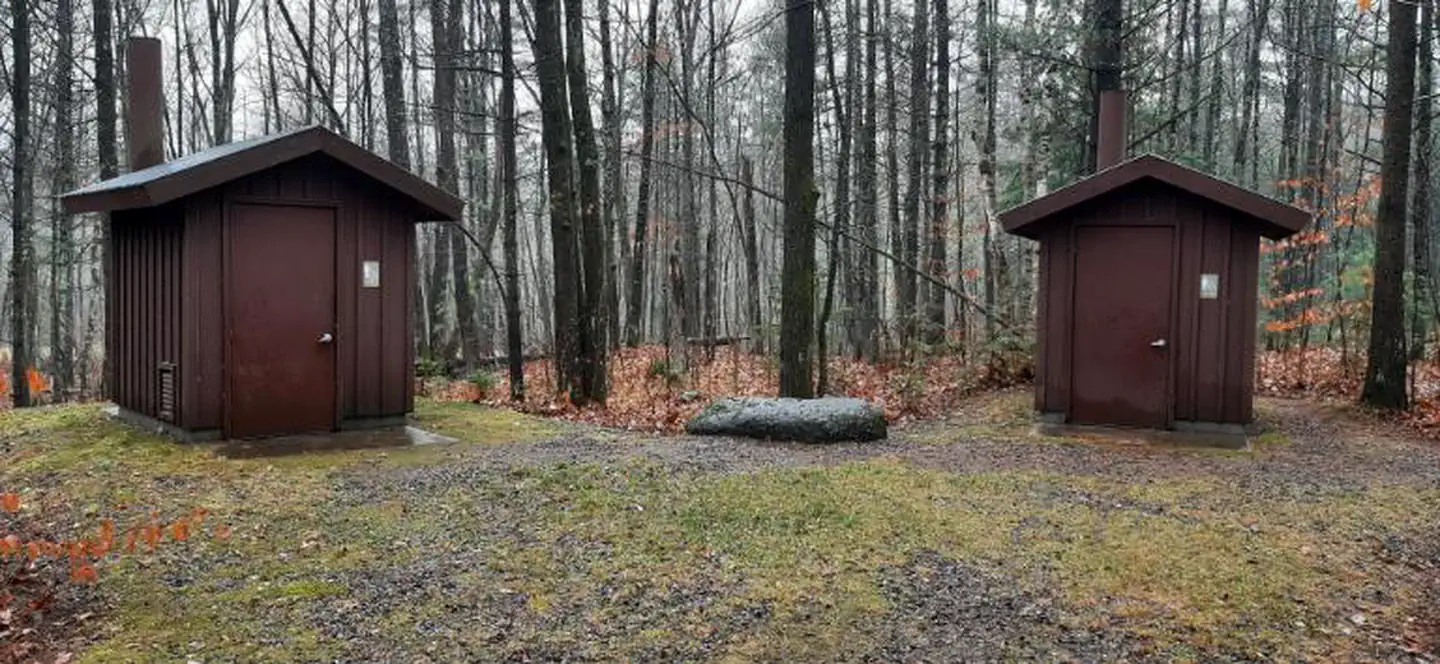
Overview If you enjoy listening to the soothing sound of flowing water, you will appreciate this campground. About one-third of the 30 campsites are located adjacent to the Oconto River. Weekends bring the most campers, with only moderate use occurring during the week. So come and relax among the pines and enjoy the sound and beauty of Bagley Rapids. Recreation Trout fishing, berry picking, rafting, canoeing, swimming, and sightseeing can all be done in or near this campground. Facilities The campground has 30 sites along with accessible vault toilets, drinking water, and garbage service. Natural Features Campground is located among towering pines adjacent to the flowing rapids of the Oconto River. Contact Info For facility specific information, please call (715) 276-6333. Nearby Attractions Nearby is the Mountain Fire Lookout Tower, a popular local tourist destination. This is one of the last fire towers standing on its original location in the Chequamegon-Nicolet National Forest. It was built in 1935 and was one of a series of 20 towers built in the Forest during the 1930s. If you’re brave enough, you can climb the tower and enjoy a panoramic view of the surrounding countryside. Also nearby is Cathedral Pines, an area that survived Wisconsin’s logging era where the majestic pines and hemlocks have been preserved in their natural state.
From the managing agency.
Is Bagley Rapids Campground free?
No. Bagley Rapids Campground charges a fee.
How do I get to Bagley Rapids Campground?
Bagley Rapids Campground is at 45.1575, -88.4659. We do not hold written directions for this one, so navigate to the coordinates.
Nearby
- BOULDER LAKE8.6 mi
- Boot Lake11.6 mi
- BOOT LAKE CAMPGROUND11.7 mi
- Ada Lake Campground19.6 mi
- RICHARDSON LAKE CAMPGROUND23.1 mi
- Bear Lake Campground (Chequamegon-Nicolet NF, WI)24.6 mi
- Bear Lake24.8 mi
- Laura Lake37.7 mi
No other services within 50 mi on the record.
SourceSource data is agency published. Last synced September 19, 2026. Community reports and photos are submitted by travelers and are not verified by the agency.
