
WYETH CAMPGROUND
USFS · Campground · Dispersed · Fee
Fast facts
- Cost
- Fee charged
- Managed by
- USFS
- Type
- Campground
- Hours
- Check in: 2:00 p.m.; Check-out: 12:00 p.m.; Quiet hours are 10:00 p.m. until 6:00 a.m.
- Reservations
- recreation.gov
- Phone
- 541-308-1700
- Nearest dump station
- Bumping Lake Dump Station · 83.5 mi
- Coordinates
- 45.6903, -121.7722
- Last verified
- September 19, 2026

About this place
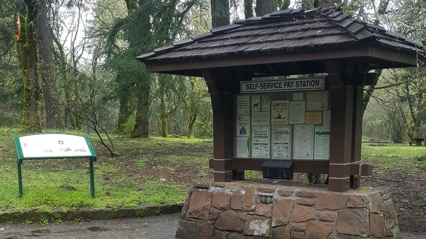
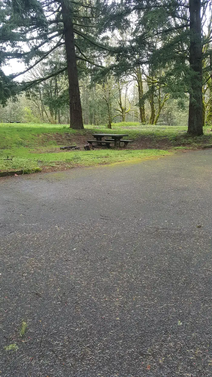
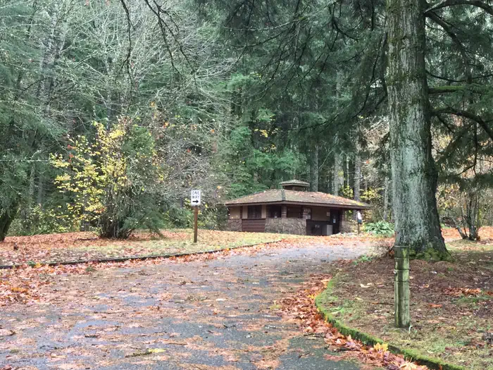
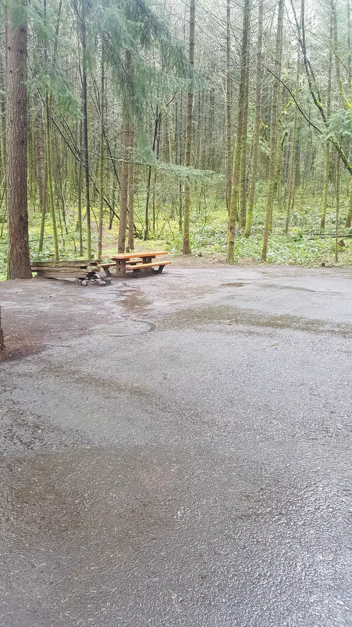
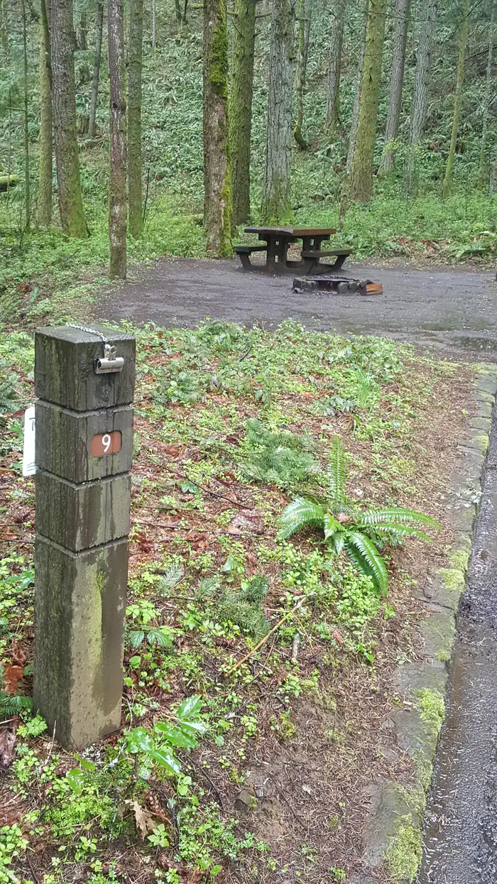
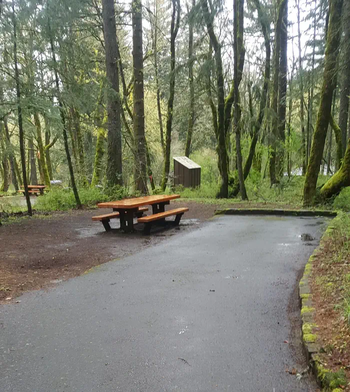
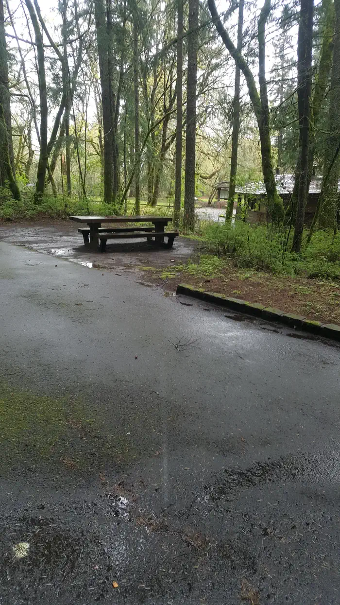
Overview Wyeth Campground is just off of Interstate 84 in a forested setting with grassy fields. There are 13 individual sites, three group sites, and a camp host. In the past this site was a Seed Kiln, Guard Station, Church camp, Civilian Conservation Corps camp and Conscientious Objector Camp during World War II. Recreation The Wyeth trail and the Gorge 400 trail access wilderness, waterfalls, the Pacific Crest Trail and dispersed camping opportunities. Fishing, sea kayaking, kiteboarding and windsurfing are nearby on the Columbia River while road biking is available on the Historic Columbia River Highway bike path adjacent to the campground. Please note that the Wyeth Trail #411 is closed indefinitely due to damage sustained during the Eagle Creek fire of 2017. Facilities Paved roads, paths and aprons make this site easily accessible to all. The full-time onsite hosts maintain a central flush toilet restroom with hot and cold water. Each site is equipped with picnic tables and fire grills and many sites are fully accessible. There are no RV hookups or dump sites. Natural Features Set at the base of classic Gorge cliffs, this historic site features easy access to trails, waterfalls, a bike path and a creek. The Mark O. Hatfield Wilderness and solitude is a short hike from the campground. Osprey and bald eagles reside locally. Nearby Attractions Take a hatchery tour 10 miles west at Bonneville Dam, enjoy world-class wind sailing activities 10 miles east in Hood River, tour orchards or see iconic waterfalls in the gorge, all within 45 minutes. Cascade Locks offers Sternwheeler cruises 8 miles west. The Historic Columbia River Highway bike path now runs directly adjacent to the campground and heads east anwestd for a relaxing hike or bike ride to Vieno State Park. See waterfalls along the way!
From the USFS.Official page
Is WYETH CAMPGROUND free?
No. WYETH CAMPGROUND charges a fee. It is managed by the USFS. Sites are reservable through recreation.gov.
How do I get to WYETH CAMPGROUND?
From Portland, OR: Travel east on Interstate 84, to exit #51. Turn right at the stop sign at the end of the off ramp and another right onto Wyeth Road. ; Travel about 1/4 mile on Wyeth Road. The campground is on the left. From Hood River, OR: Travel west on ; Interstate 84, to exit #51. Turn right at the stop sign at the end of the off ramp and another right onto Wyeth Road. ; Travel about 1/4 mile on Wyeth Road. The campground is on the left.
What are the rules at WYETH CAMPGROUND?
Trailers and RVs 30 ft. max.14-day stay limit
Nearby
SourceData from the USFS. Last synced September 19, 2026. Community reports and photos are submitted by travelers and are not verified by the agency.
