
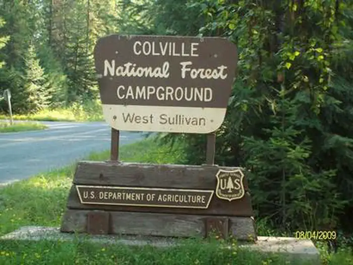
WEST SULLIVAN
Campground · Fee not listed
Fast facts
- Cost
- Not listed. Check locally.
- Type
- Campground
- Phone
- 435-245-6521
- Coordinates
- 48.8614, -117.2883
- Last verified
- September 19, 2026
About this place
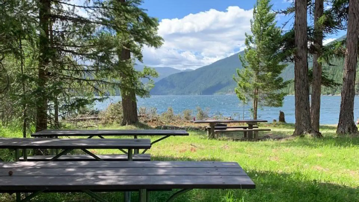
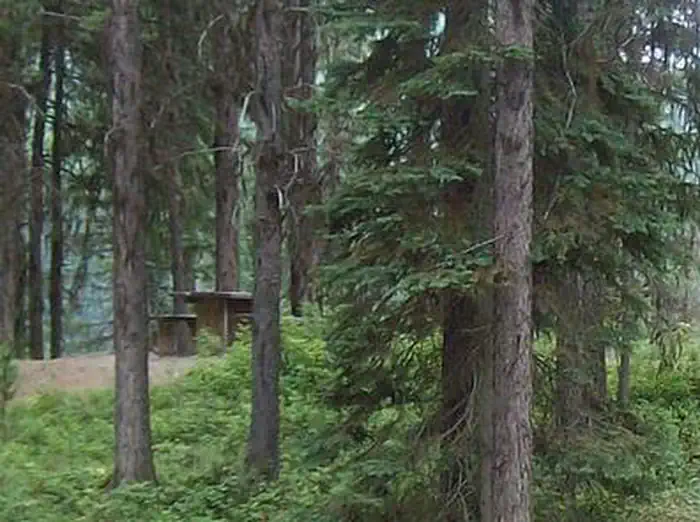
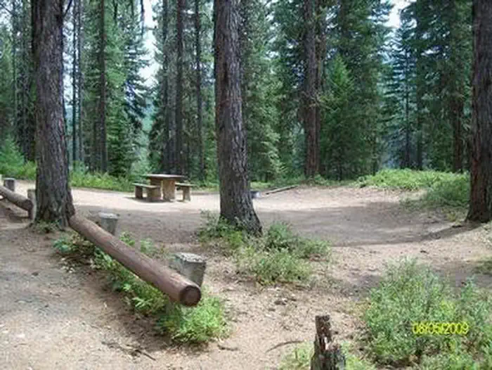
Overview West Sullivan Campground is located at the north end of Sullivan Lake and about five miles east of Metaline Falls in northeast Washington. The campground provides a unique environment where campers can enjoy a variety of recreational activities. Recreation The Sullivan Lake Basin provides campers with opportunities for swimming, fishing, boating and hiking. Fishing in this deep mountain lake is most successful from a boat. Common fish species in the lake include burbot (ling cod) and Kokanee salmon. Canoeing, kayaking and paddle boarding are among the most popular water sports on the lake. Campers and walk directly from their campsite to a designated swimming area on the lake. Also, within walking distance are a short nature trail and the Lakeshore Trail, a designated National Scenic Trail that runs along the eastern shore of the lake. This 4.2 mile trail offers viewpoints of the lake and is a popular day hike for all ages. The nearby Salmo-Priest Wilderness offers multiple day outings with many excellent hikes and picturesque scenery. Boat ramps are located on the north and south ends of the lake in East Sullivan and Noisy Creek Campgrounds., Mountain bikers can enjoy several surrounding Forest Service roads and trails. Facilities All sites at West Sullivan are accessible and the parking aprons are gravel and grass. Campsites do not have electric hookups, but each one comes with a picnic table and fire ring . Drinking water, accessible vault toilets, garbage service and food storage containers are provided. Natural Features This small campground is located in a mixed stand of conifer trees with a dense understory that offers privacy between campsites. It sits at 2700 feet in elevation on the lakeshore. Sullivan Lake covers 1291 acres and has a depth of 320 feet. Hall Mountain rises abruptly from the eastern shore of the lake to a height of over 6000 feet. A small airstrip lies adjacent to the campground and allows campers to fly in by chartering a plane or bringing their own small aircraft. The forest boasts exciting wildlife such as grizzly and black bears, cougars, bald eagles and the last remaining herd of woodland caribou in the United States. Nearby Attractions The Mill Pond Historic Site, located 2 miles north of the campground, details the early history of Metaline Falls through a series of interpretive signing. A historic cabin is located along the interpretive trail which travels over the Mill Pond Spillway. A scenic drive along the International Selkirk Loop offers numerous scenic attractions. Several forest road systems in the immediate vicinity offer great views of the Selkirk Mountains. Sullivan Lake is about four miles southeast of Metaline Falls, a quaint town with historic buildings. Crawford State Park is located on the west side of the Pend Oreille River near the U.S.- Canada border. In the summer, a park ranger conducts under-ground tours of Gardiner Cave, the main attraction at this park. Seattle City Light offers tours of their Boundary Hydroelectric Project, on the main-stem Pend Oreille River one mile from the international border.
From the managing agency.
Is WEST SULLIVAN free?
We do not have a fee on record for WEST SULLIVAN. Confirm the cost locally before you go.
How do I get to WEST SULLIVAN?
WEST SULLIVAN is at 48.8614, -117.2883. We do not hold written directions for this one, so navigate to the coordinates.
Nearby
- EAST SULLIVAN0.3 mi
- Mill Pond Campground0.5 mi
- West Sullivan Campground1.5 mi
- East Sullivan Campground1.6 mi
- Sullivan Lake Group Site1.7 mi
- Sullivan Creek Dispersed Sites3.3 mi
- Grandview Boat-In Campsite4.0 mi
- Ledbetter Cove Boat-In Campsite5.0 mi
No other services within 50 mi on the record.
SourceSource data is agency published. Last synced September 19, 2026. Community reports and photos are submitted by travelers and are not verified by the agency.
