
SAWMILL FLAT CAMPGROUND
USFS · Campground · Fee
Fast facts
- Cost
- Fee charged
- Managed by
- USFS
- Type
- Campground
- Reservations
- recreation.gov
- Phone
- 541-338-7869
- Nearest dump station
- Bumping Lake Dump Station · 12.9 mi
- Coordinates
- 46.9744, -121.0953
- Last verified
- September 19, 2026
About this place
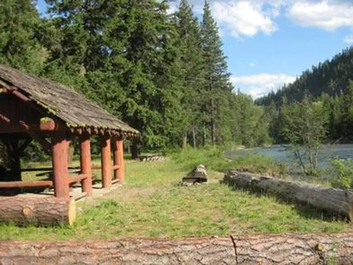
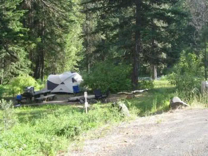
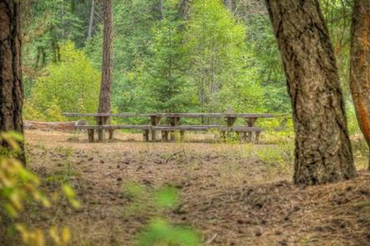
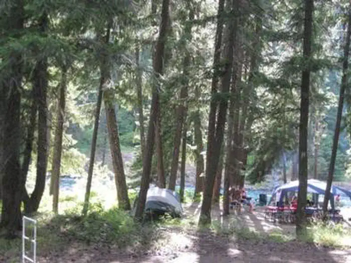
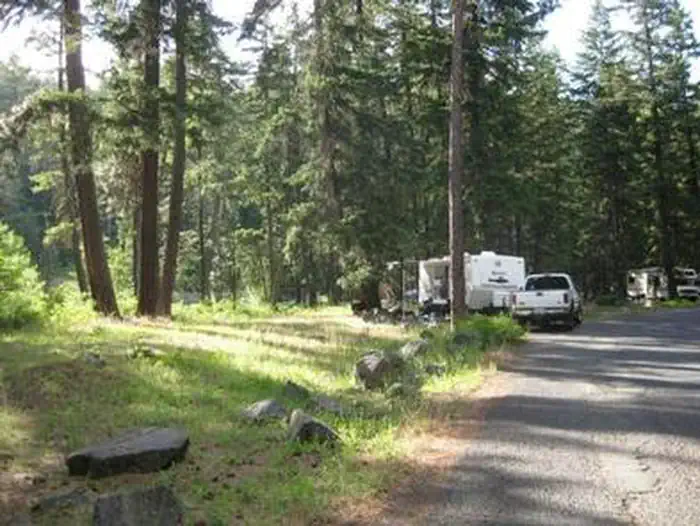
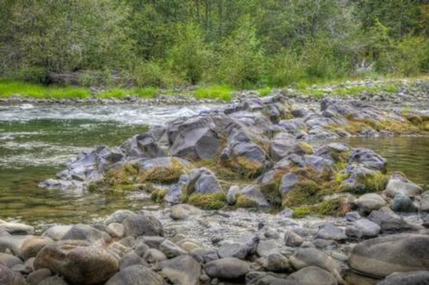
Overview Sawmill Flat Campground is located along the Naches River in the Northern Cascade Range of Washington. The campground provides and ideal setting for both individual and family camping excursions. Recreation Okanogan-Wenatchee National Forest offers a multitude of recreational activities for its visitors. In addition to being a prime location for hiking, fishing, hunting, horseback riding and mountain biking in summer and early fall, the area provides excellent skiing and snowshoeing in the winter. Hikers and backpackers are especially fortunate to have access to a variety of spectacular trails near the campground and in the surrounding areas. Designated Wilderness provides thousands of pristine acres of incredible landscapes to enjoy in solitude or with a small group. Frost Mountain Lookout Trail is a favorite for many in the area, and river enthusiasts may enjoy a whitewater paddle on the nearby American River. Facilities Sawmill Flats Campground offers standard, tent only, and walk up sites. Vault toilets and drinking water are available, however there are no electrical hook-ups. Natural Features Because of its wide geographic range, the Okanogan-Wenatchee is a stunning and unique National Forest. High, glaciated alpine peaks tower along the Cascade Crest. Lush valleys of old growth forest define its western boundary. And, at its eastern edge, rugged shrub-steppe country comprises a more arid region. Elevations range from below 1,000 ft. to over 9,000 ft. The Naches River, adjacent to Sawmill Flat Campground, is a tributary of the Yakima River in central Washington. In its upper reaches the river flows through rugged terrain and areas of pristine wilderness. Before joining the Yakima River it makes its way through valleys and is a significant irrigation source for areas northwest of Yakima. Used by Native Americans and settlers throughout history, the river has served as an natural corridor between the east and west sides of the Cascades through the Naches Pass. Contact Info This location has limited staffing. Please call (661) 702-1420 for general information. Nearby Attractions Boulder Cave National Recreation Trail is one of the most popular places in the District. Visitors enjoy the accessible trail along the river or hiking to Boulder Cave. Interpretive signs along the trail explain the geology, plants, animals and fire history of the area. In the fall thousands of people come to experience white water rafting on both the Tieton and American Rivers. Hikers may want to traverse at least a portion of the spectacular Pacific Crest Trail (PCT), one of the world's premier National Scenic Trails. This trail showcases some of North America's most fantastic scenery, winding its way its way from Mexico to Canada through California, Oregon and Washington. Charges & Cancellations Cancellations Individual Campsites: Cancellations up to 2 days before a reservation start date incur a $10.00 cancellation fee. A visitor who cancels a reservation the day before or on the day of arrival will pay a $10.00 service fee AND forfeit the first night's use fee including tax and applicable add-on for a campsite. Cancellations for a one-night reservation will forfeit the entire amount paid and will not be subject to an additional service fee. No-Shows A no-show visitor is one who does not arrive at a campground and does not cancel the reservation by check-out time on the day after the scheduled arrival date. Staff will hold a campsite until check-out time on the day following the arrival date. No-shows are assessed $20.00 service fee and forfeit the first night's rate, taxes and applicable add-on for a campsite. Refunds Visitors may submit a refund request through their Recreation.gov profile within 7 days of the end date of their reservation. Refunds will not be issued after the 7 days has ended. Refunds for debit or credit card payments will be issued as a credit to the original bank or credit card used to pay. For check or cash purchases, Recreation.gov will mail a Treasury check for refunds of cash, check, or money order payments to the address associated with the reservation. Treasury check refunds may take up to 6-8 weeks to arrive. In the event of an emergency closure, the Recreation.gov team or facility manager will refund all fees and will attempt to notify you using the contact information within the Recreation.gov visitor profile
From the USFS.Official page
Is SAWMILL FLAT CAMPGROUND free?
No. SAWMILL FLAT CAMPGROUND charges a fee. It is managed by the USFS. Sites are reservable through recreation.gov.
How do I get to SAWMILL FLAT CAMPGROUND?
From Naches, travel west on Highway 12 for 4.3 miles, until reaching Highway 410. Travel west on Highway 410 for 22.7 miles. Around milepost 93.2, turn right to Sawmill Flat.
What are the rules at SAWMILL FLAT CAMPGROUND?
Trailers 24 feet maximum.
Nearby
SourceData from the USFS. Last synced September 19, 2026. Community reports and photos are submitted by travelers and are not verified by the agency.
