
Ohanapecosh Campground
Campground · Fee
Fast facts
- Cost
- $20.00
- Type
- Campground
- Season
- April 1 to June 13
- Sites
- 179 total · 129 reservable · 50 first come
- Reservations
- recreation.gov
- Nearest dump station
- Bumping Lake Dump Station · 14.9 mi
- Coordinates
- 46.7361, -121.5667
- Last verified
- September 18, 2026
About this place
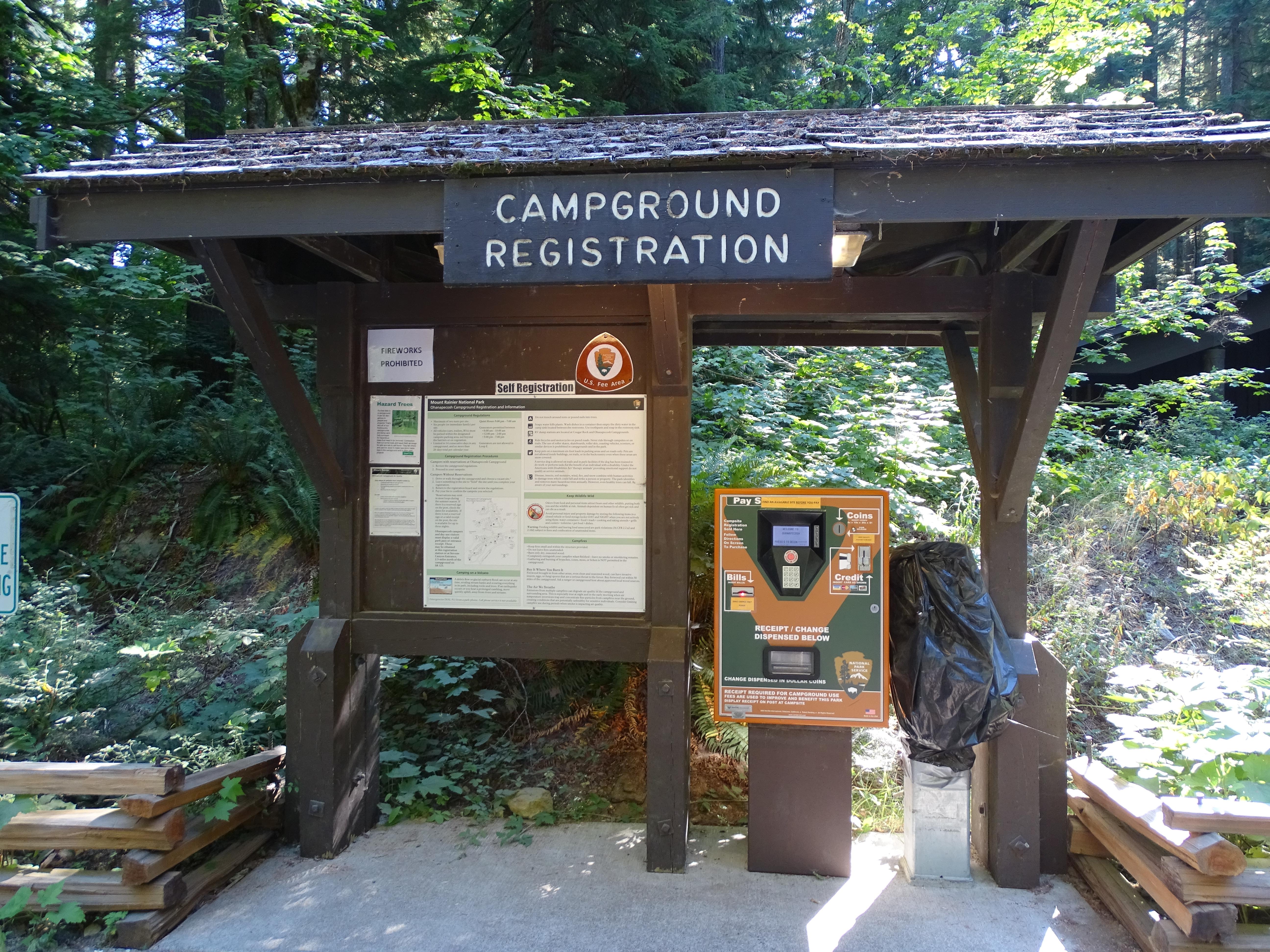
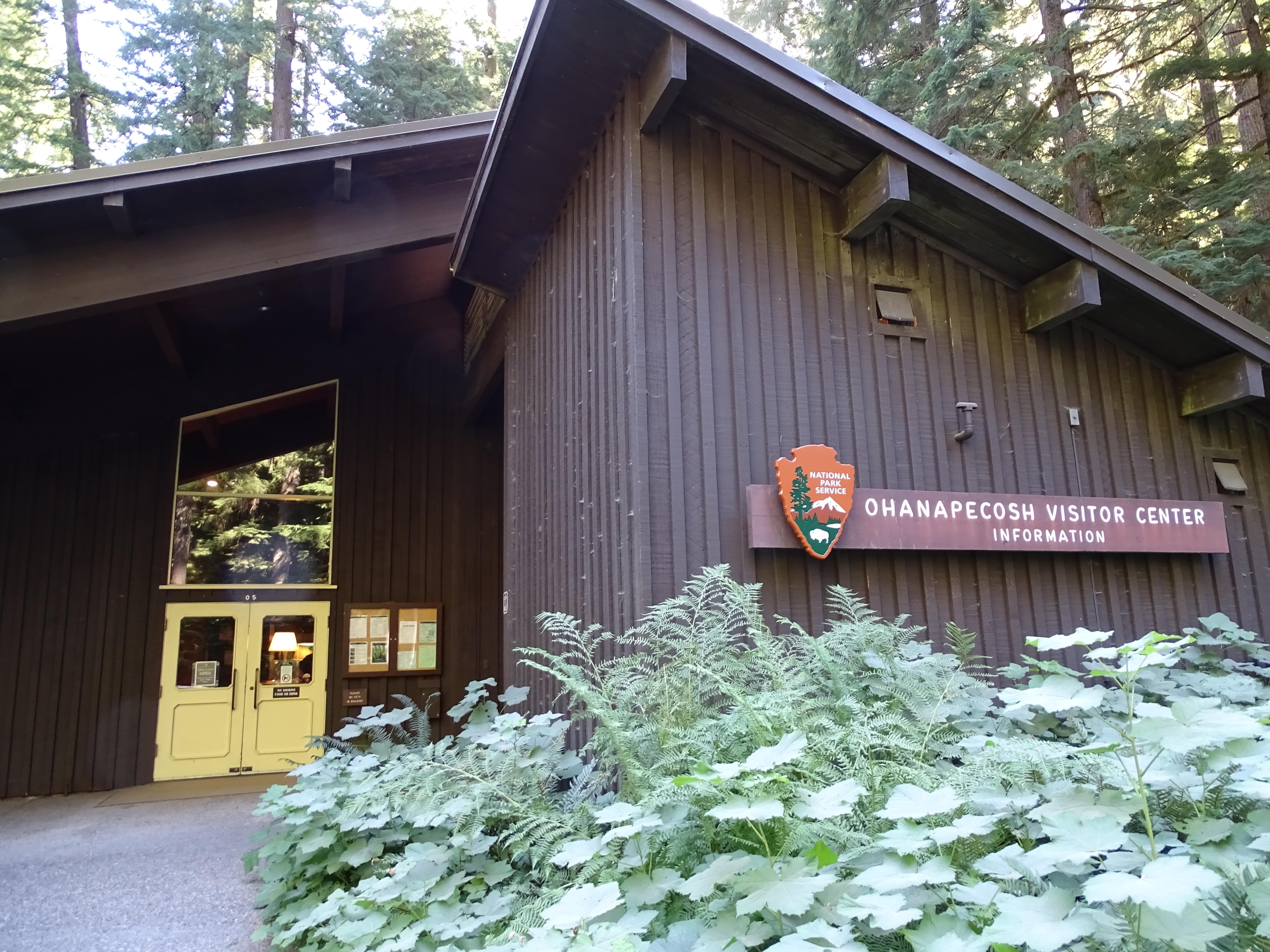
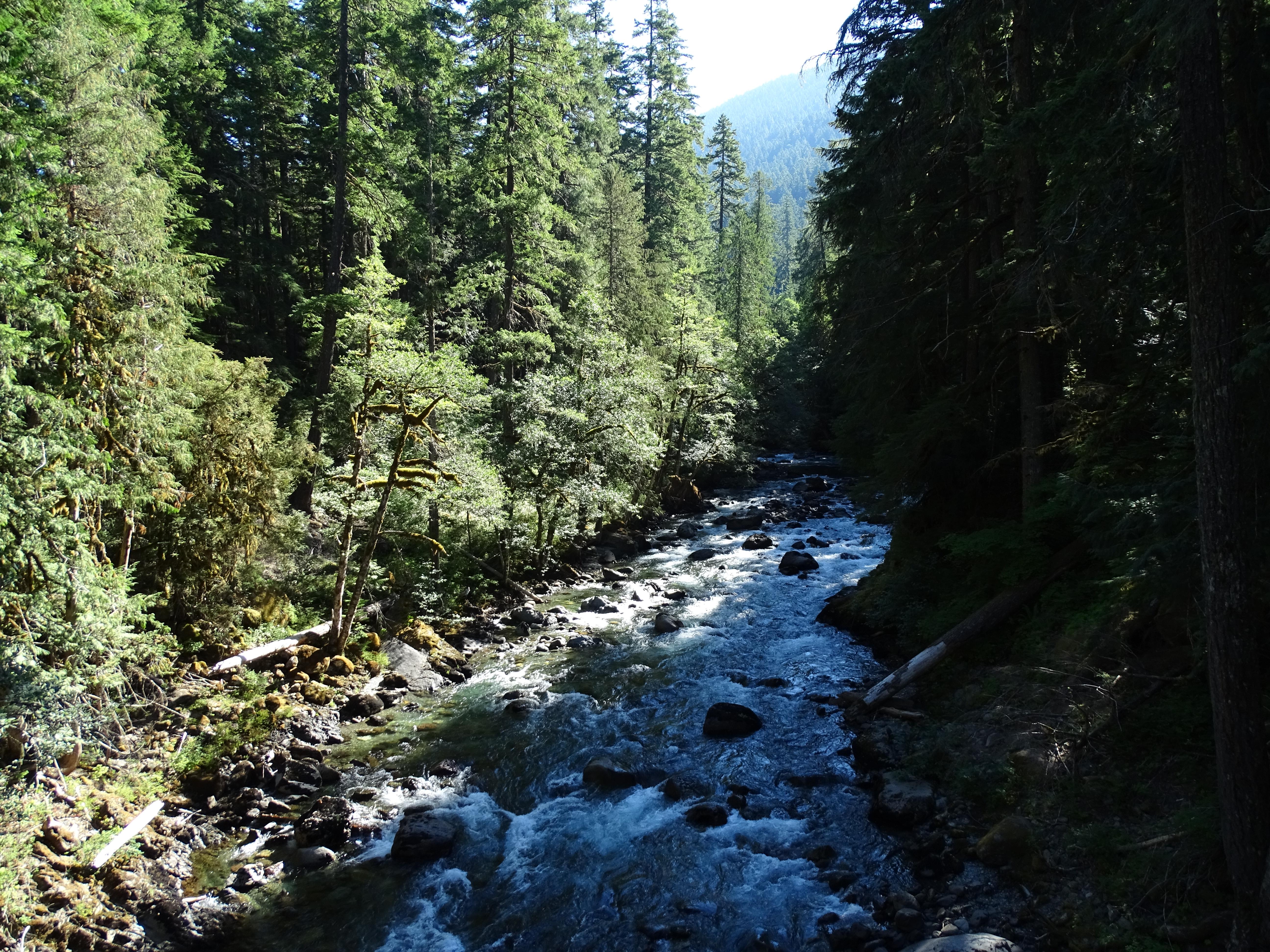
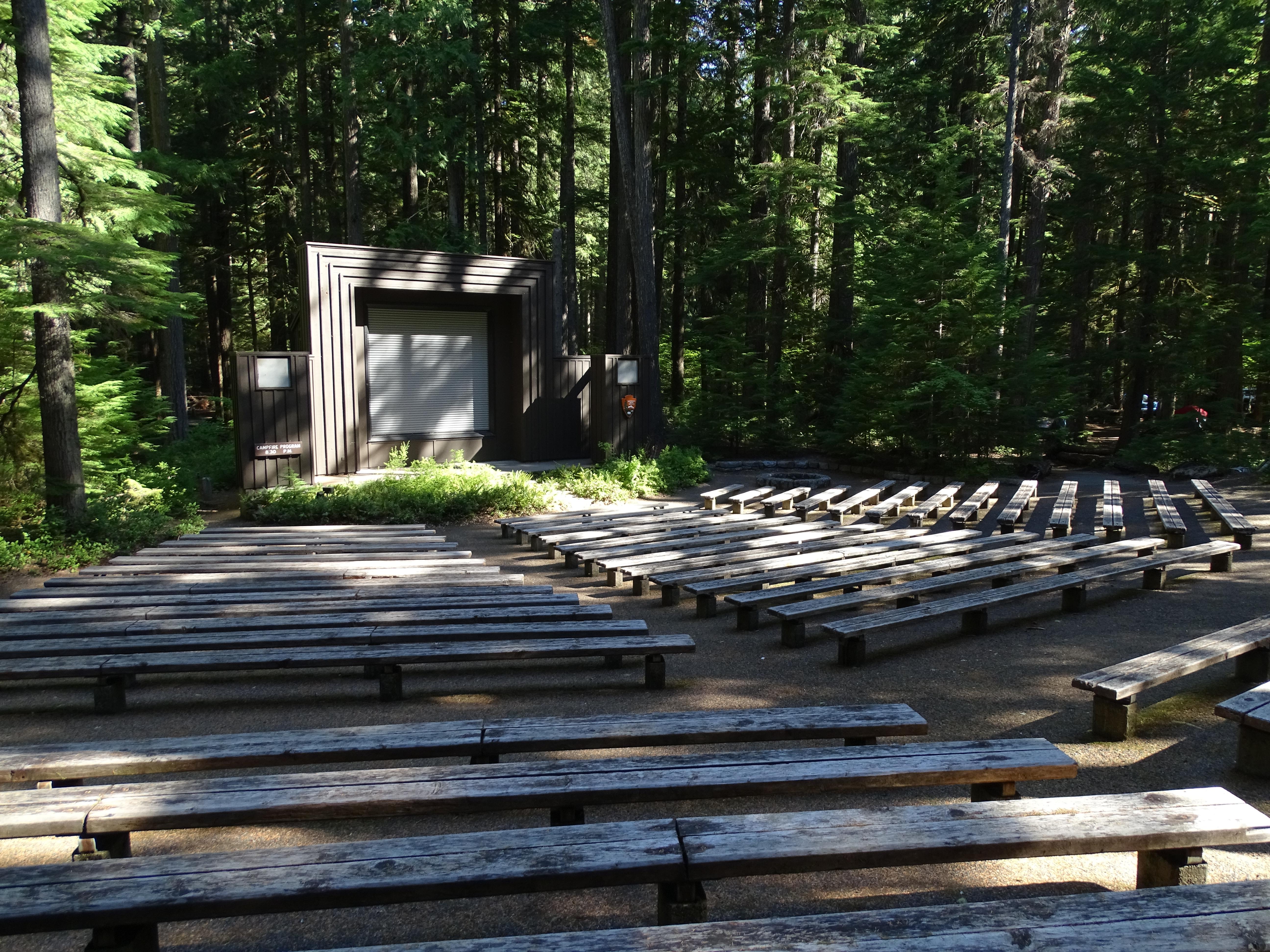
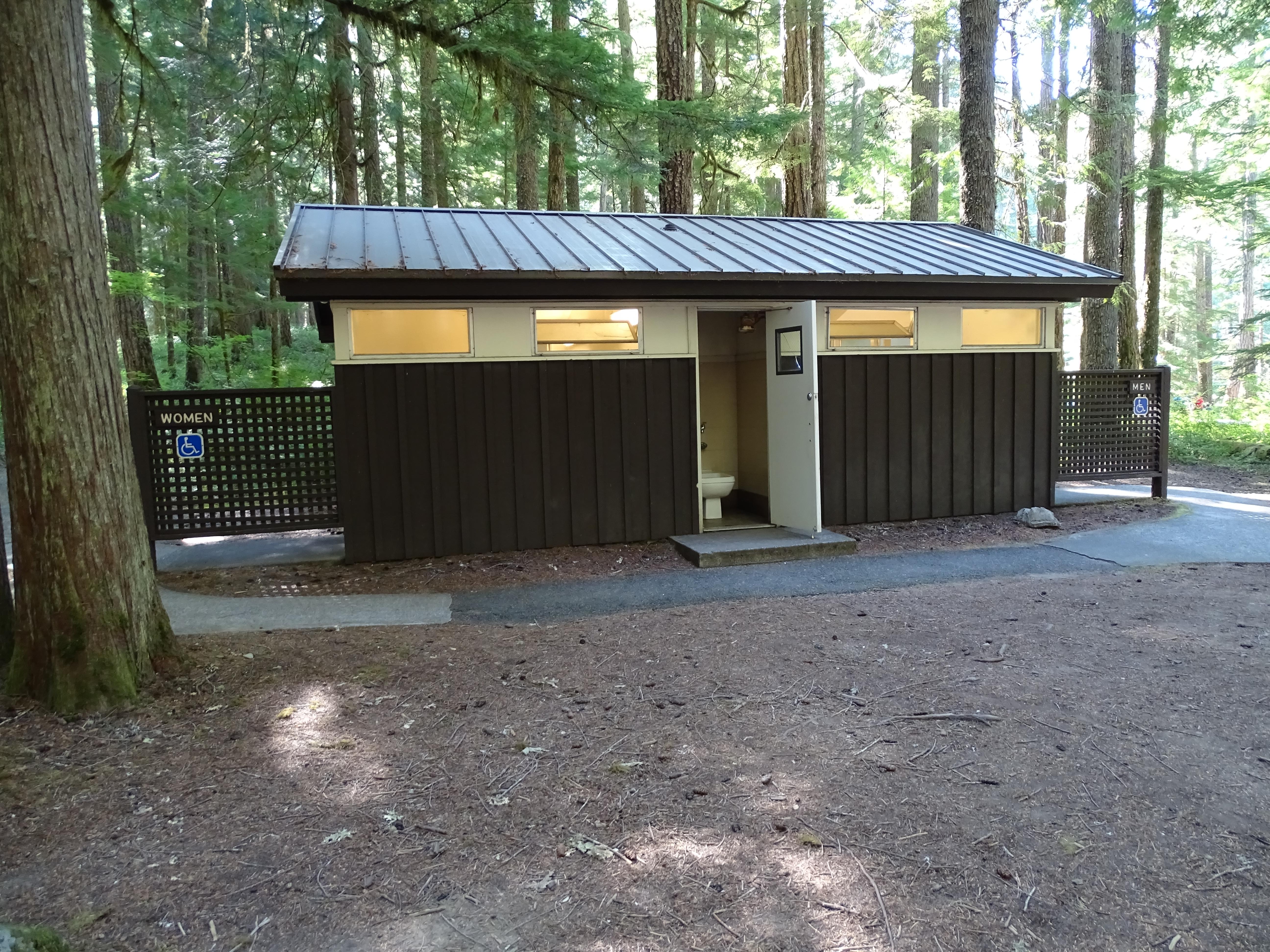
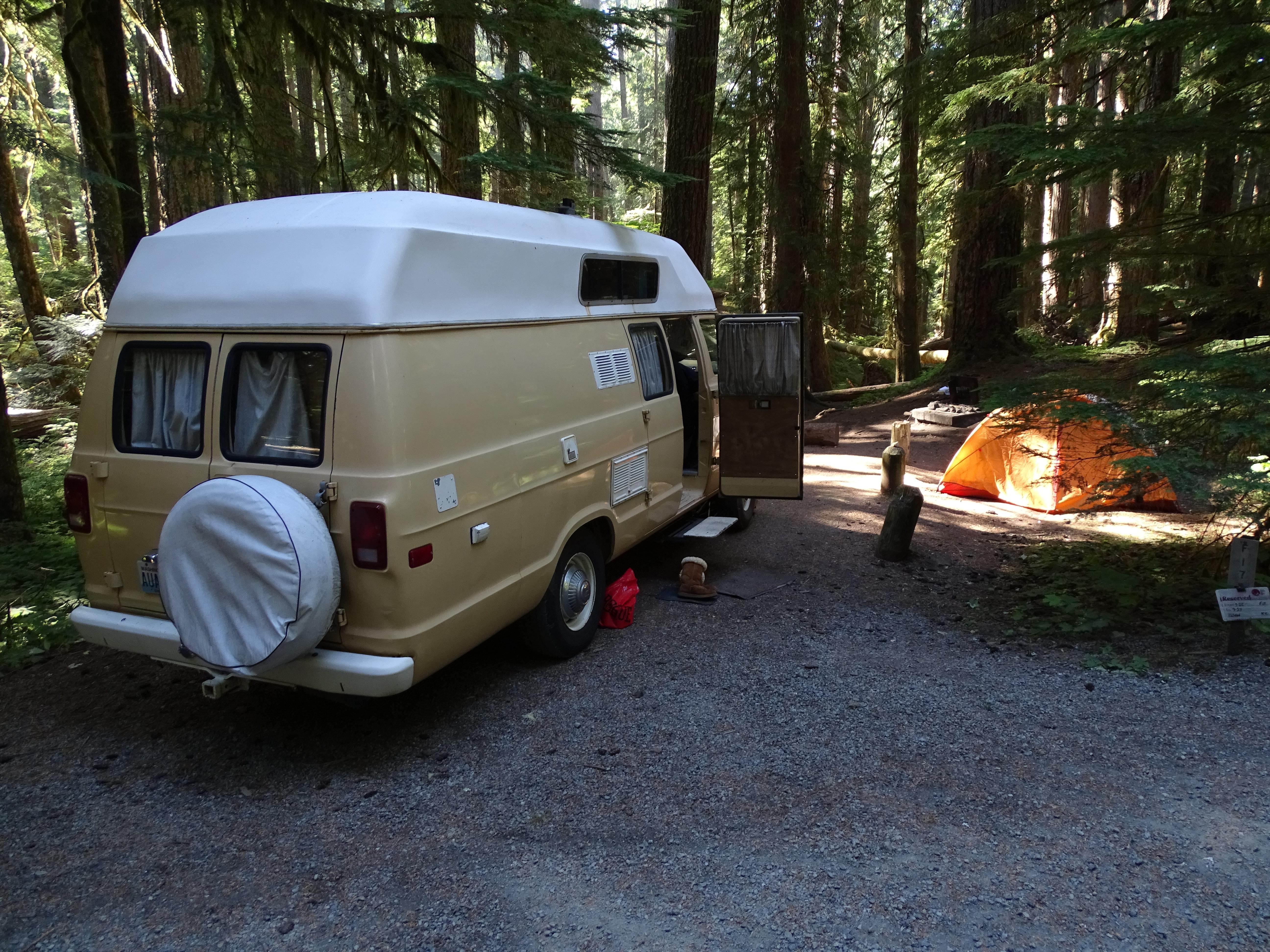
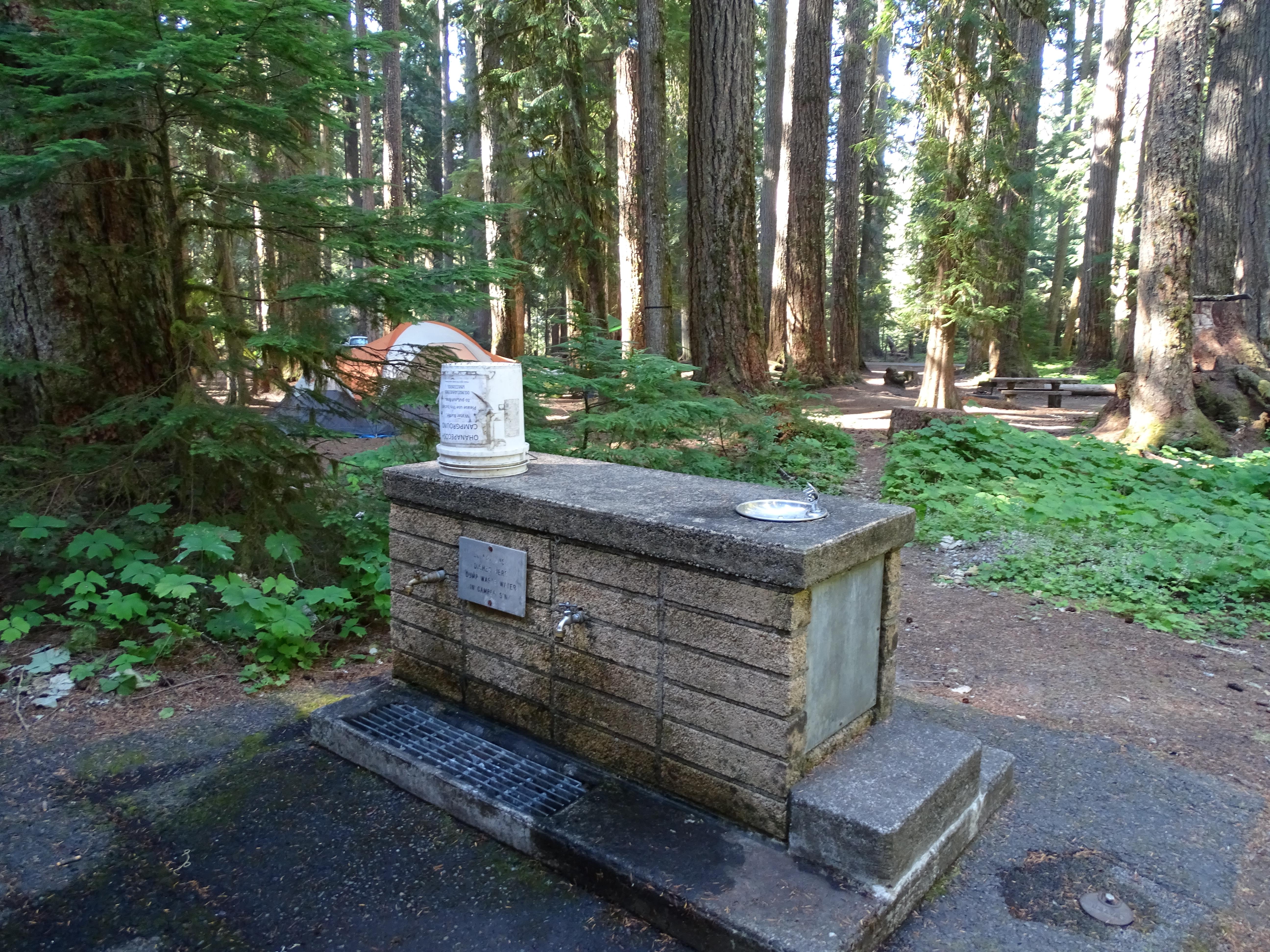
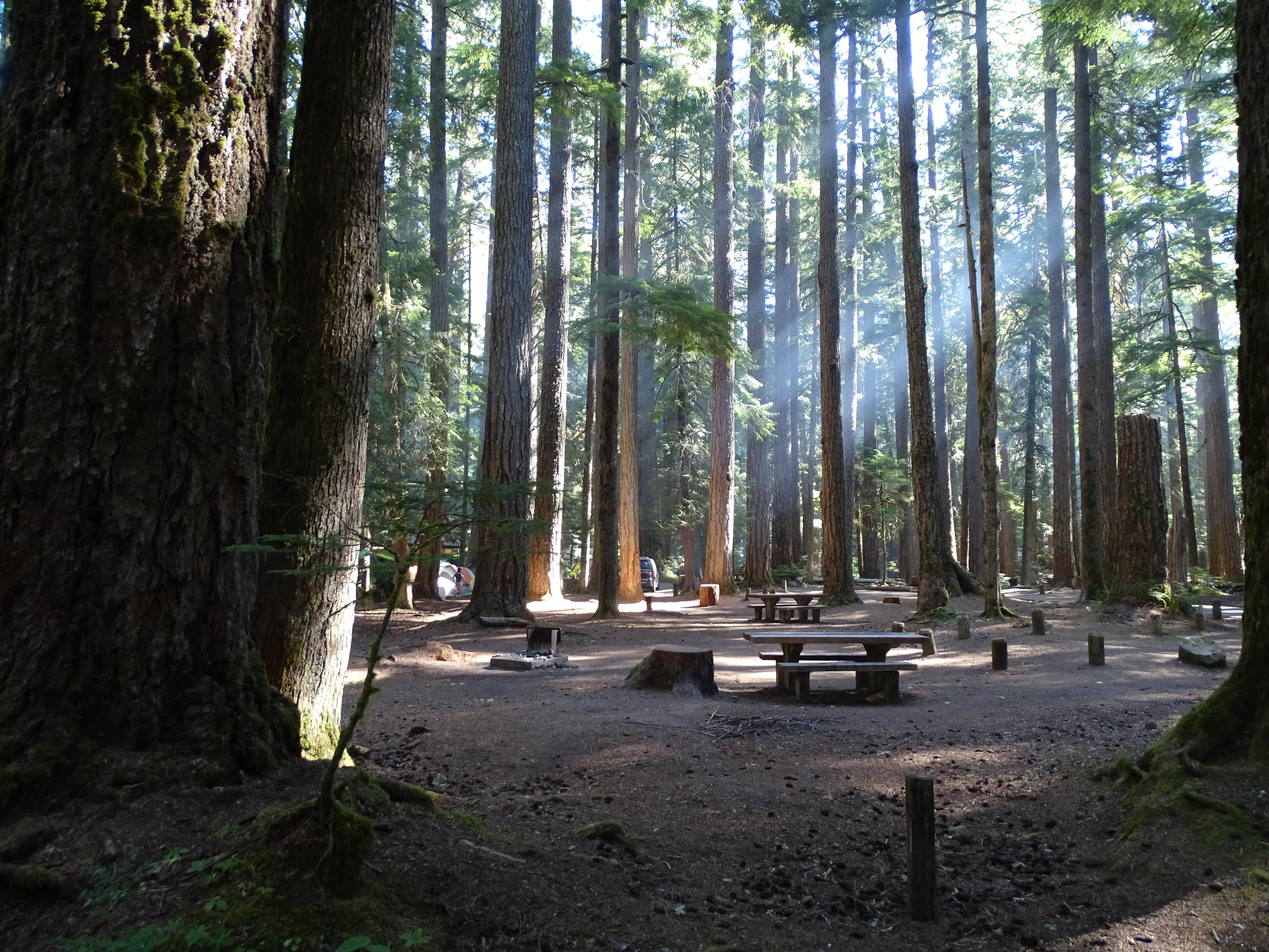
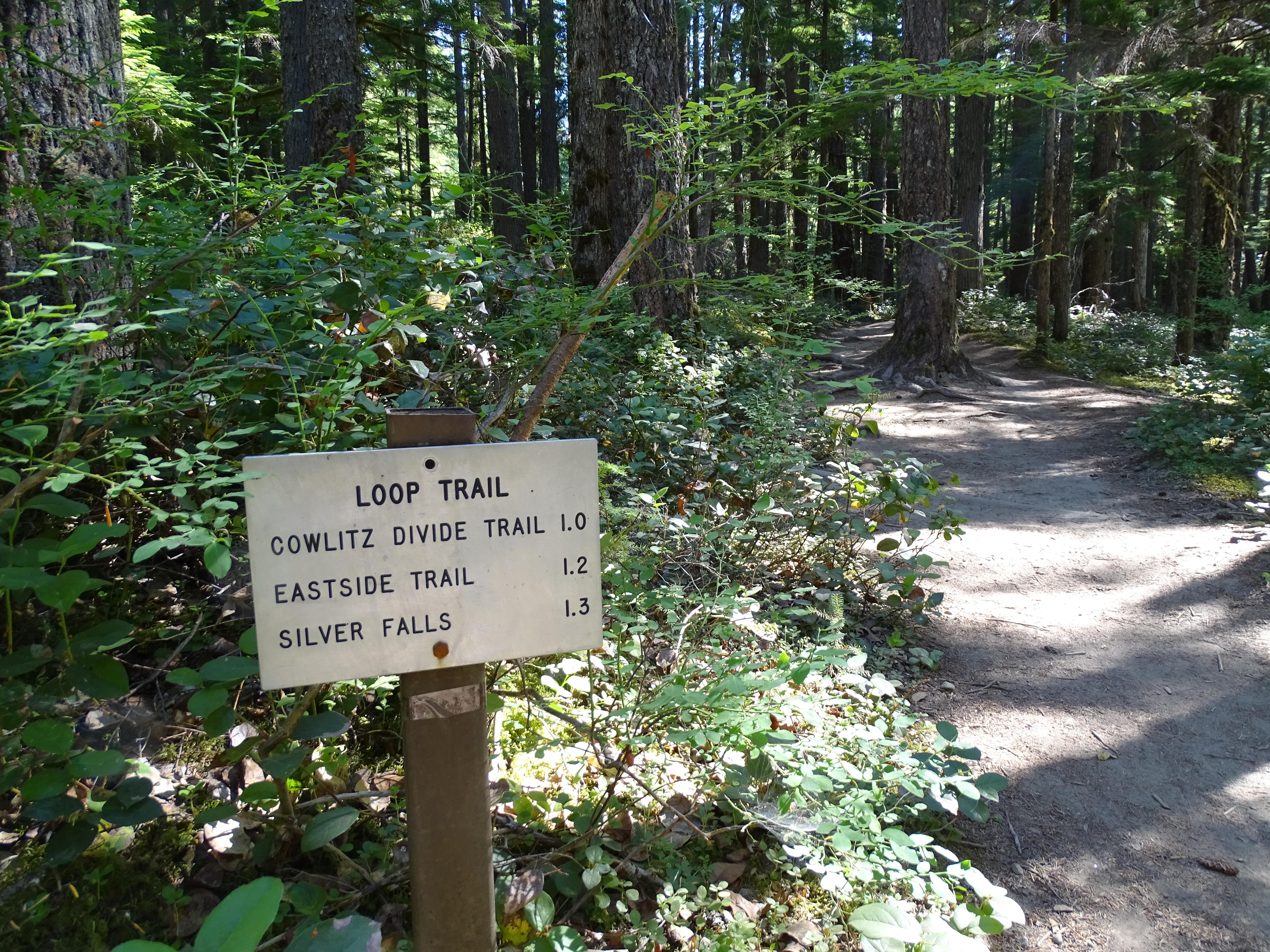
NOTE: The Ohanapecosh Campground will be CLOSED for the summer of 2026 as part of the Ohanapecosh Campground rehabilitation project. Ohanapecosh Campground is tucked in the forest along the banks of the Ohanapecosh River at an elevation of 1,914 feet. It is located in the southeast corner of the park along State Route 123. Trails that begin at the campground lead to Silver Falls and the Grove of the Patriarchs. Stop by the Ohanapecosh Visitor Center for information and exhibits.
From the managing agency.Official page
Is Ohanapecosh Campground free?
No. Ohanapecosh Campground charges $20.00. 129 of its sites are reservable through recreation.gov.
Can I bring an RV to Ohanapecosh Campground?
Ohanapecosh Campground has 179 sites on record. 129 sites are reservable and 50 are first come.
When is Ohanapecosh Campground open?
The season on record runs April 1 to June 13. Dates move with weather and with the managing office, so check before a shoulder-season trip.
How do I get to Ohanapecosh Campground?
There is no address for Ohanapecosh Campground. It is located 17 miles northeast of the town of Packwood, Washington, on State Route 123, 4 miles north of State Route 12, and about 1 mile north of the park boundary. GPS coordinates are "46.73111, -121.57028 or 46°43'52""N, 121°34'13""W"
What is the weather like at Ohanapecosh Campground?
The campground is greatly affected by Mount Rainier's changeable weather. Most summer days are comfortable, but temperatures get quite cool near sunset. July and August tend to be sunny and dry, but rain and thunderstorms have occurred. This area is subject to sudden and severe geological hazards such as flooding, landslides and rock fall.
What are the rules at Ohanapecosh Campground?
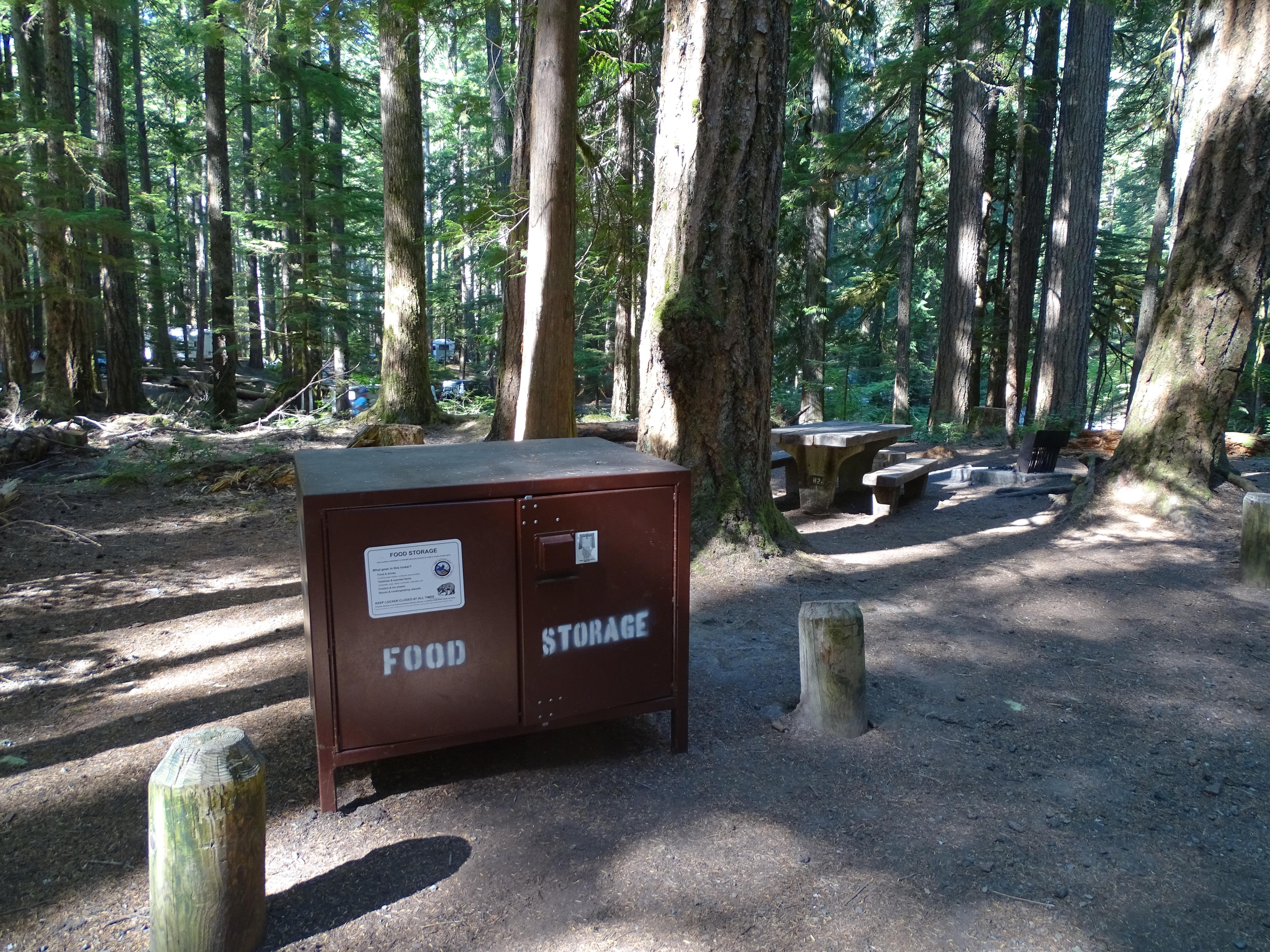
Quiet hours must be maintained between 9 pm and 7 am. Generators may be used only between 8 am-10 am, 12 pm-2 pm, and 5 pm-7 pm. Loop E in Cougar Rock is closed to generator use. Please show respect for others by keeping noise to a minimum at all times. Pets are not permitted in amphitheaters, buildings, on trails or in vegetated areas. Pets are permitted only in parking lots and roads open to vehicles and within the designated campsite. Pets must be crated, on a leash or otherwise under physical restraint at all times. Do not leave pets unattended for their safety and the safety of visitors and wildlife. For your safety and theirs do not feed the wildlife. Never leave food unattended. Store food, including coolers, in vehicles overnight and whenever your campsite is unattended. Keep your campsite clean of food scraps and garbage. Do not drive nails into trees or dig ditches around tents. Tents may not be placed on vegetation.
Nearby
- OHANAPECOSH CAMPGROUND0.4 mi
- OHANAPECOSH GROUP CAMPGROUND0.4 mi
- La Wis Wis Campground4.4 mi
- Soda Springs Campground4.7 mi
- Deep Creek Horse Camp9.8 mi
- White Pass Lake (Leech Lake) Campground10.7 mi
- White Pass Lake/Leech Lake Campground10.7 mi
- White Pass Horse Camp/Trailhead10.9 mi
- Bumping Lake Dump Station14.9 mi
SourceSource data is agency published. Last synced September 18, 2026. Community reports and photos are submitted by travelers and are not verified by the agency.
