
North Fork Bear Group Camp
Campground · Fee not listed
Fast facts
- Cost
- Not listed. Check locally.
- Type
- Campground
- Phone
- 541-338-7869
- Nearest dump station
- Bumping Lake Dump Station · 36.1 mi
- Coordinates
- 46.4508, -121.7878
- Last verified
- September 19, 2026
About this place
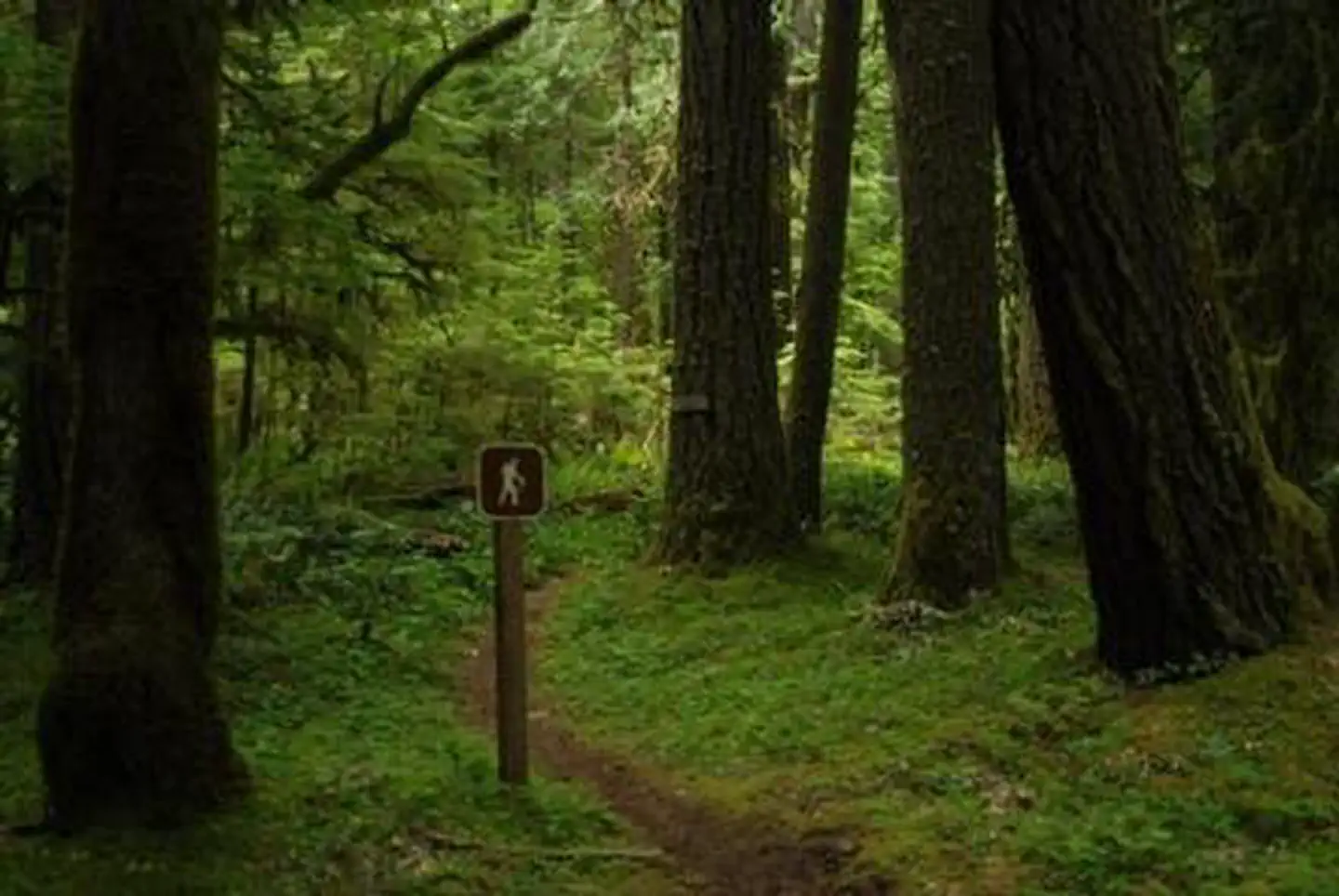
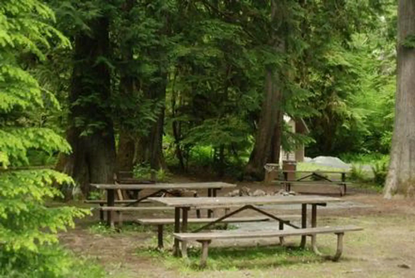
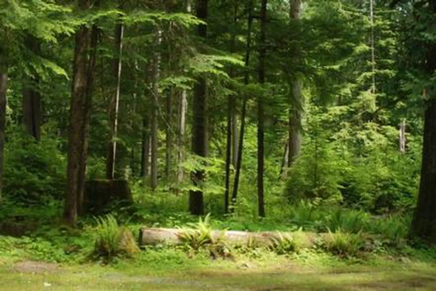
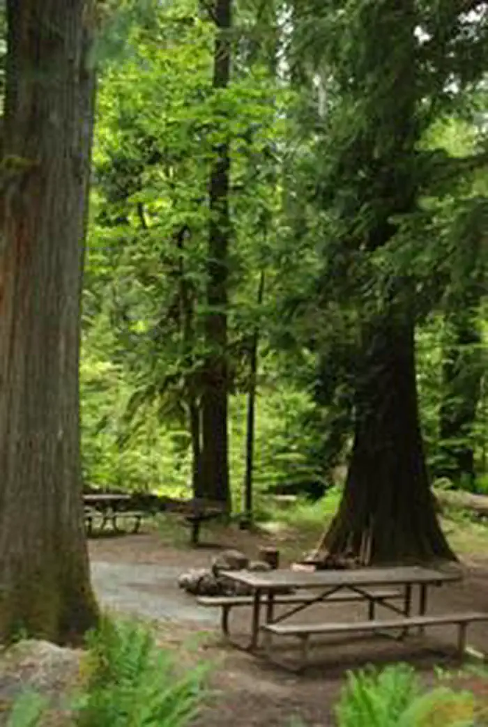
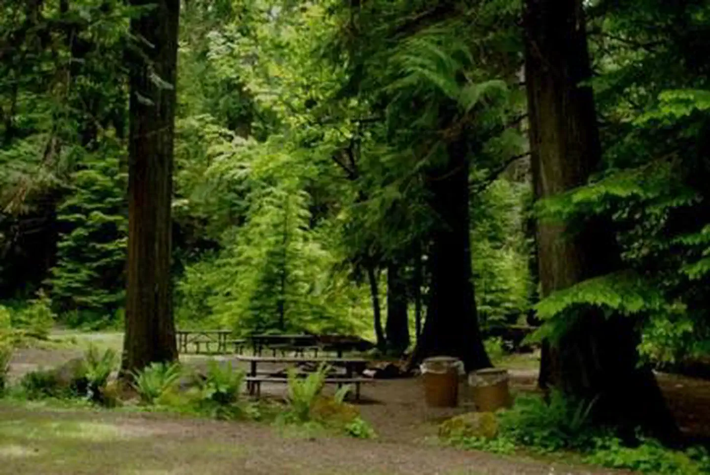
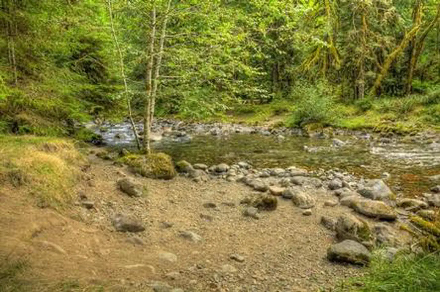
Overview Shaded by a dense canopy of pine, fir and cedar trees, North Fork Bear Group sits alongside the Cispus River in the North Fork Campground. Typically open from mid-May to late September, North Fork Bear Group is one of three popular group sites within the campground. North Fork is situated between three of Washington's most impressive mountains; Mount St. Helens, Mt. Adams and Mt. Rainier. The variety of recreational activities and the diverse natural beauty draws many visitors to this area. Recreation North Fork Bear Group makes a great base camp for a variety of activities. Hikers, mountain bikers and off-road vehicle riders can access the nearby multi-use Valley Trail. From this trail, riders can enjoy a network of over 50 miles of additional off-road vehicle trails. The North Fork Loop trail is open to foot traffic and can also be accessed in this area. Anglers can fish the Cispus River for brook trout, steelhead and salmon. Facilities The group site will accommodate up to 25 people with tents and RVs. It's secluded with gated access. Picnic tables, grills and drinking water are provided. There is a host on-site and firewood is available for sale. Natural Features Located in southwest Washington state, the Gifford Pinchot National Forest encompasses 1.3 million acres and includes the 110,000-acre Mount St. Helens National Volcanic Monument, established by Congress in 1982. North Fork is part of the Cowlitz Valley Ranger District, which is located in the northernmost portion of the Gifford Pinchot National Forest. This Ranger District manages four Wilderness Areas including the Goat Rocks, Glacier View, Tatoosh and William O. Douglass Wilderness. Nearby rivers include the Cowlitz River, Clear Fork of the Cowlitz and the Cispus River. A variety of wildlife may be spotted in this area, including elk, deer and bears. Contact Info This location is unstaffed. To speak with our main office for general information, please call: (360) 686-3008. Nearby Attractions Randle is the closest town to North Fork, and it offers access to the Windy Ridge Lookout at Mount St. Helens. Adventurous hikers who want to enjoy some spectacular views may be interested in the Tongue Mountain Trail, which reaches an elevation of 4,838 feet. Charges & Cancellations Group Sites Group Facility (including Cabins and Lookouts): A visitor who cancels a group overnight facility reservation less than 14 days before the arrival date will pay a $10.00 service fee AND forfeit the first night's use fee. No-Shows A no-show visitor is one who does not arrive at a campground and does not cancel the reservation by check-out time on the day after the scheduled arrival date. Staff will hold a campsite until check-out time on the day following the arrival date. No-shows are assessed $20.00 service fee and forfeit the first night's rate, taxes and applicable add-on for a campsite. Refunds Visitors may submit a refund request through their Recreation.gov profile within 7 days of the end date of their reservation. Refunds will not be issued after the 7 days has ended. Refunds for debit or credit card payments will be issued as a credit to the original bank or credit card used to pay. For check or cash purchases, Recreation.gov will mail a Treasury check for refunds of cash, check, or money order payments to the address associated with the reservation. Treasury check refunds may take up to 6-8 weeks to arrive. In the event of an emergency closure, the Recreation.gov team or facility manager will refund all fees and will attempt to notify you using the contact information within the Recreation.gov visitor profile.
From the managing agency.
Is North Fork Bear Group Camp free?
We do not have a fee on record for North Fork Bear Group Camp. Confirm the cost locally before you go.
How do I get to North Fork Bear Group Camp?
North Fork Bear Group Camp is at 46.4508, -121.7878. We do not hold written directions for this one, so navigate to the coordinates.
Nearby
- North Fork Campground (WA)0.0 mi
- North Fork Beaver Group Camp0.0 mi
- North Fork Campground0.0 mi
- North Fork Elk Group Camp0.1 mi
- North Fork Group Campsites0.1 mi
- Tower Rock Campground3.8 mi
- Tower Rock Campground 3.9 mi
- Blue Lake Creek Campground - Gifford Pinchot NF (WA)4.1 mi
- Bumping Lake Dump Station36.1 mi
SourceSource data is agency published. Last synced September 19, 2026. Community reports and photos are submitted by travelers and are not verified by the agency.
