
MINERAL SPRINGS GROUP
Campground · Fee not listed
Fast facts
- Cost
- Not listed. Check locally.
- Type
- Campground
- Phone
- 509-852-1100
- Nearest dump station
- Bumping Lake Dump Station · 41.5 mi
- Coordinates
- 47.2902, -120.6992
- Last verified
- September 19, 2026
About this place
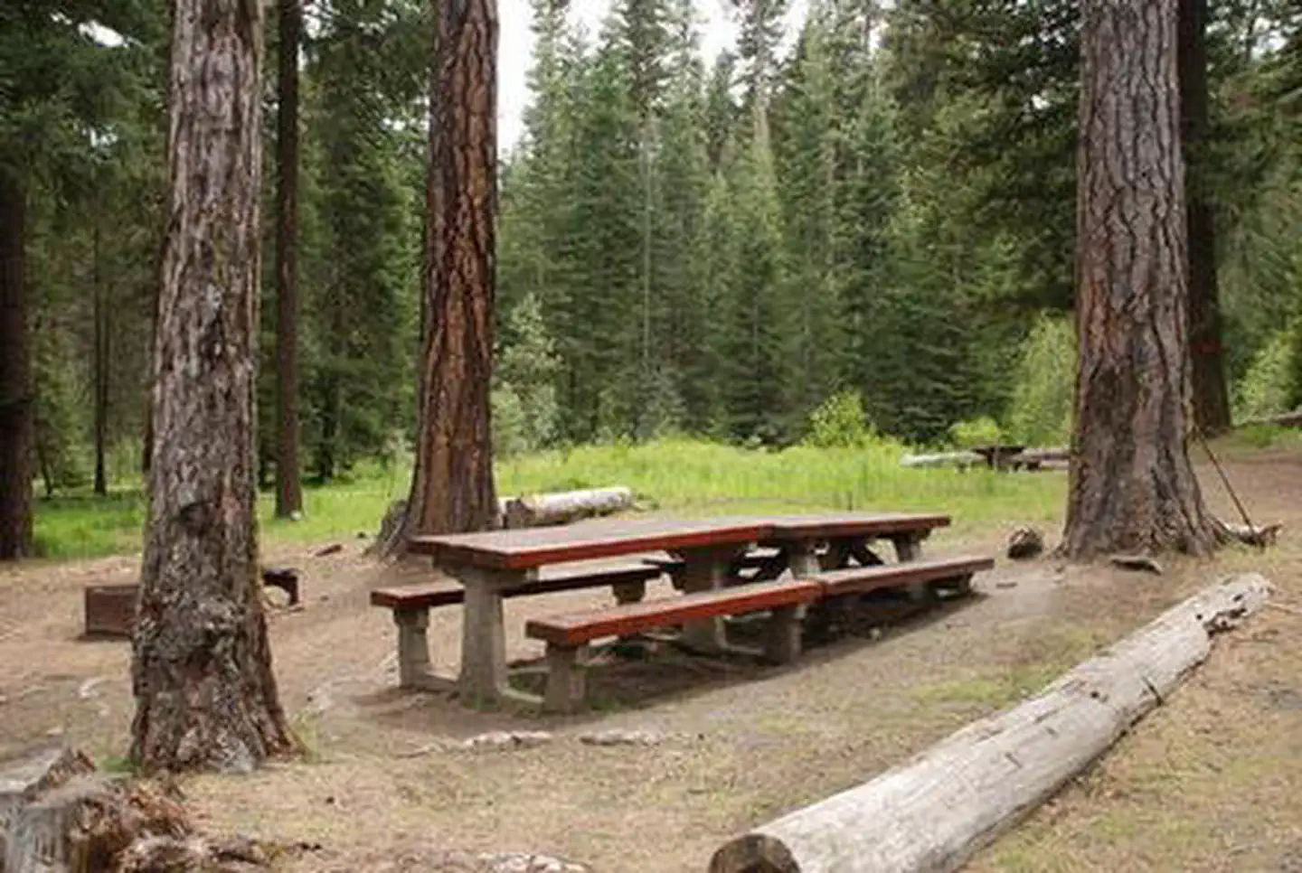
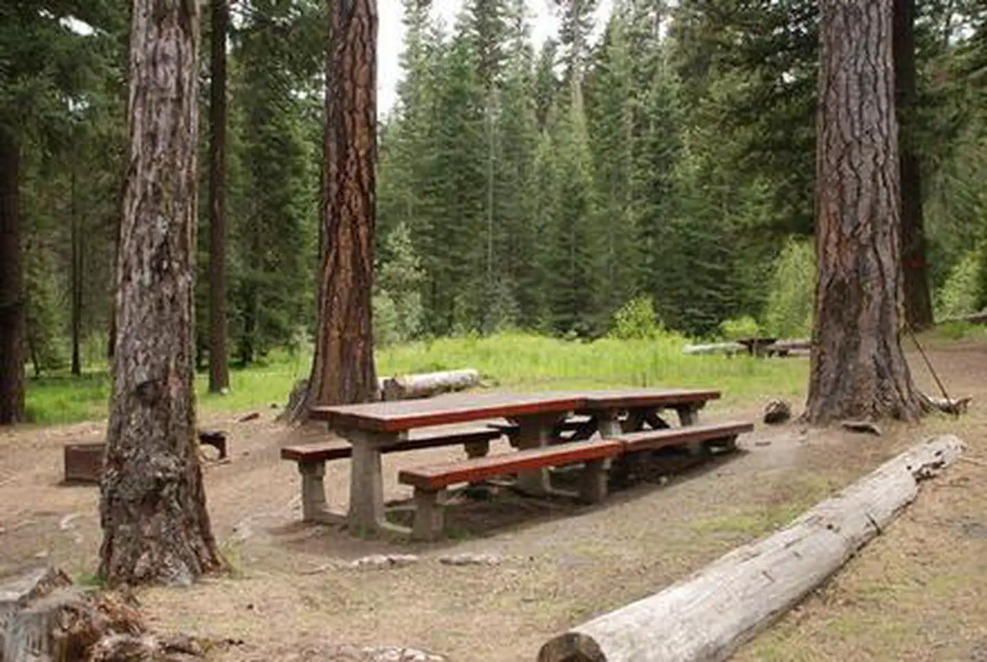
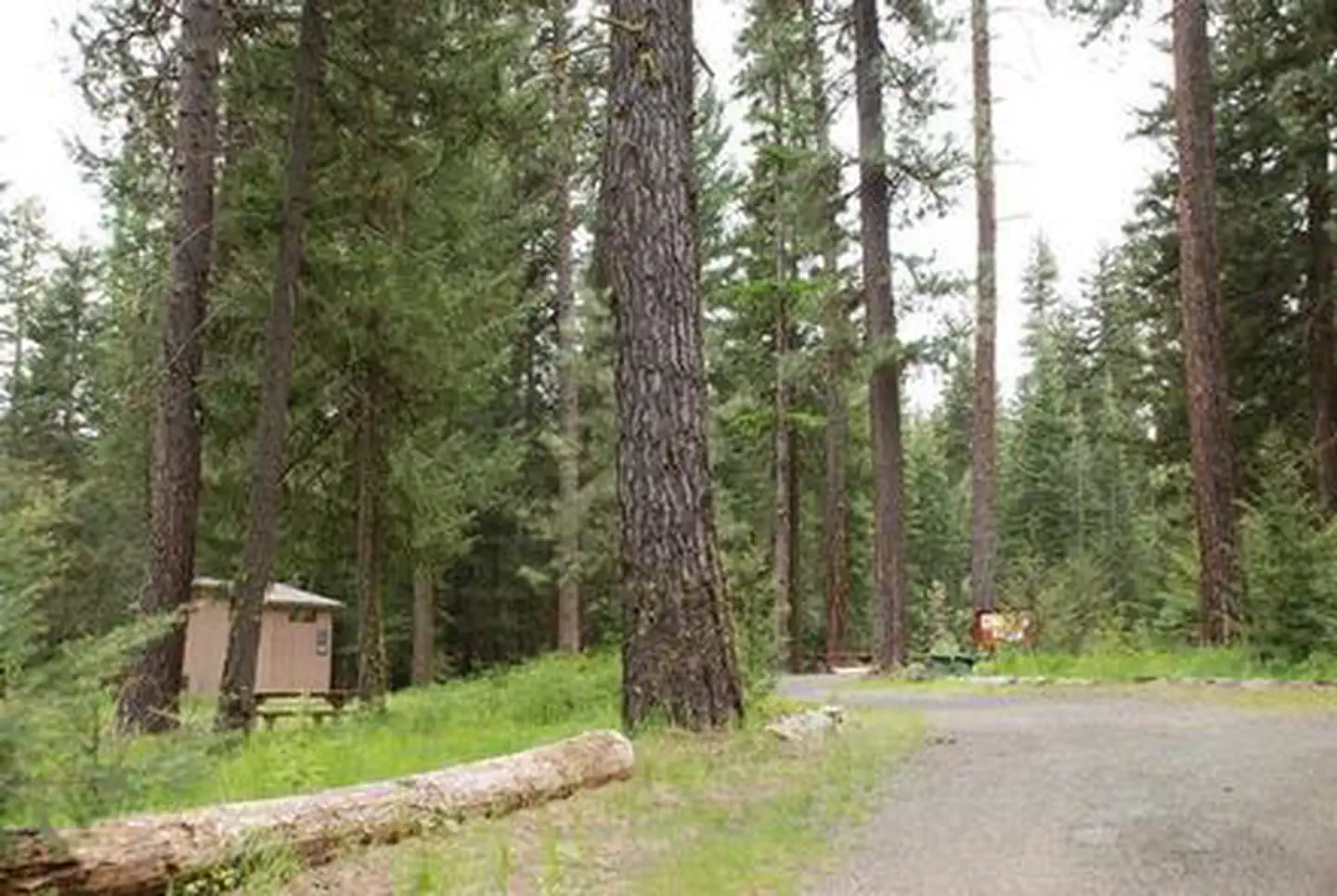
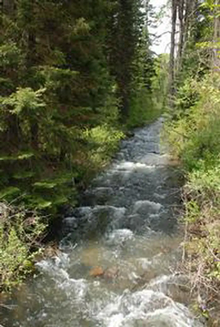
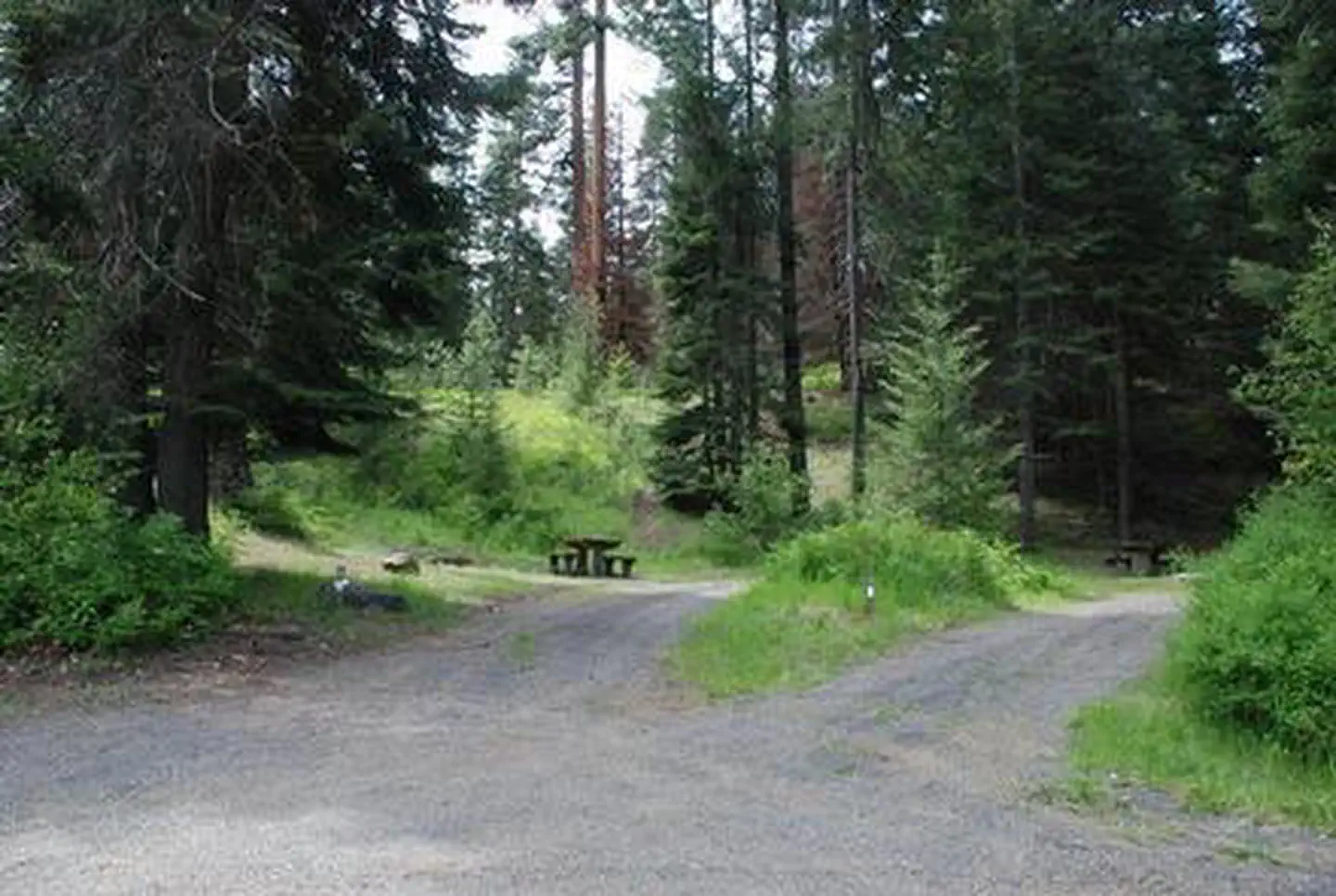
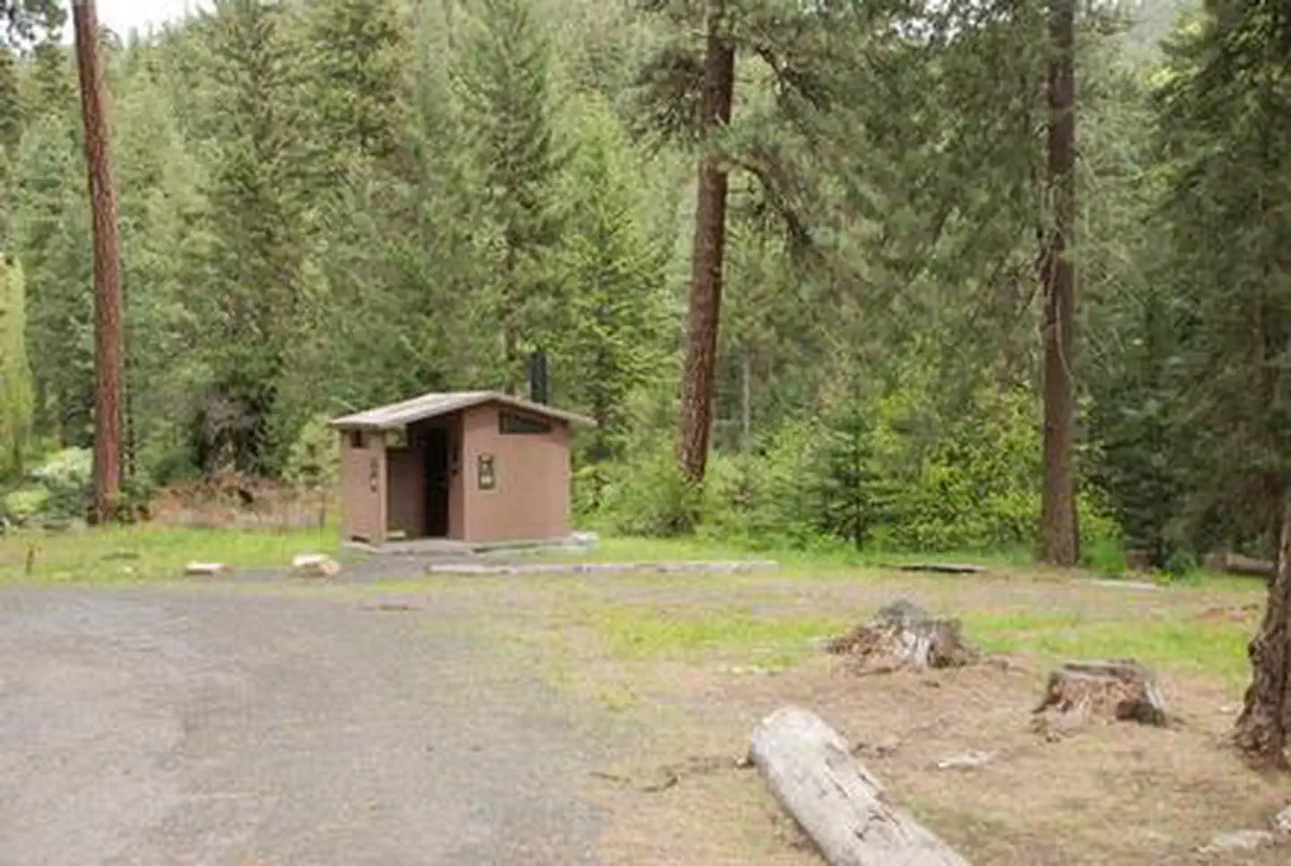
Overview At an elevation of 2,500 feet, Mineral Springs Group Campground sits in the mountainous terrain of the Okanogan-Wenatchee National Forest in northern Washington. Nearby peaks and old-growth forests provide visitors with a variety of scenic landscapes. Recreation The area around Mineral Springs is a prime location for hiking, horseback riding and mountain biking in summer and early fall, and offers opportunities for skiing, snowshoeing and snowmobiling in the winter months. The campground is a great base camp for day-hikers and overnight backpackers, and several access trails are available from the area. Facilities Mineral Spring Campground offers eight first-come first-serve single family sites and one reservable group site that can accommodate up to 50 guests. The sites are equipped with tables and campfire rings with grills. Vault toilets and drinking water are also available on site. Natural Features The Okanogan-Wenatchee National Forest features high, glaciated alpine peaks towering along the Cascade Crest. Lush valleys of old growth forest define its western boundary, and at its eastern edge, rugged shrub-steppe country comprises a more arid region. Mount Stuart, a towering mass of granite located in the nearby Alpine Lakes Wilderness area, is the second highest non-volcanic peak in Washington, perched at an elevation of 9,415 feet. The surrounding undeveloped wilderness, clean streams and diverse forests support an abundance of wildlife, including deer, porcupine, native fish and migratory birds. Contact Info This location has limited staffing. Please call (661) 702-1420 for general information. Nearby Attractions Nearby Red Top Mountain is a popular excursion for those wanting to reach a vista point after a short hike. Perched atop a basalt outcrop is Red Top Fire Lookout, where on a clear day visitors are treated to spectacular views of Mt. Stuart, Mt. Rainier and the Teanaway Valley. July through mid-September the historic lookout is often open to visitors. Charges & Cancellations Group Sites Group Facility (including Cabins and Lookouts): A visitor who cancels a group overnight facility reservation less than 14 days before the arrival date will pay a $10.00 service fee AND forfeit the first night's use fee. No-Shows A no-show visitor is one who does not arrive at a campground and does not cancel the reservation by check-out time on the day after the scheduled arrival date. Staff will hold a campsite until check-out time on the day following the arrival date. No-shows are assessed $20.00 service fee and forfeit the first night's rate, taxes and applicable add-on for a campsite. Refunds Visitors may submit a refund request through their Recreation.gov profile within 7 days of the end date of their reservation. Refunds will not be issued after the 7 days has ended. Refunds for debit or credit card payments will be issued as a credit to the original bank or credit card used to pay. For check or cash purchases, Recreation.gov will mail a Treasury check for refunds of cash, check, or money order payments to the address associated with the reservation. Treasury check refunds may take up to 6-8 weeks to arrive. In the event of an emergency closure, the Recreation.gov team or facility manager will refund all fees and will attempt to notify you using the contact information within the Recreation.gov visitor profile.
From the managing agency.
Is MINERAL SPRINGS GROUP free?
We do not have a fee on record for MINERAL SPRINGS GROUP. Confirm the cost locally before you go.
How do I get to MINERAL SPRINGS GROUP?
MINERAL SPRINGS GROUP is at 47.2902, -120.6992. We do not hold written directions for this one, so navigate to the coordinates.
Nearby
SourceSource data is agency published. Last synced September 19, 2026. Community reports and photos are submitted by travelers and are not verified by the agency.
