
KANER FLAT CAMPGROUND
USFS · Campground · Fee
Fast facts
- Cost
- Fee charged
- Managed by
- USFS
- Type
- Campground
- Reservations
- recreation.gov
- Phone
- 509-653-1401
- Nearest dump station
- Bumping Lake Dump Station · 13.7 mi
- Coordinates
- 47.0114, -121.1300
- Last verified
- September 19, 2026
About this place
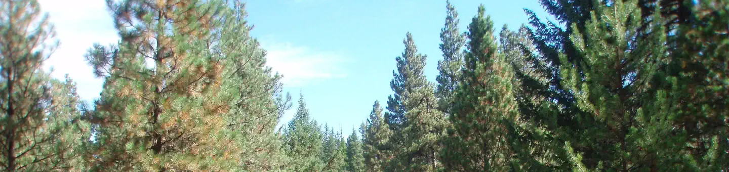
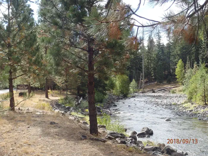
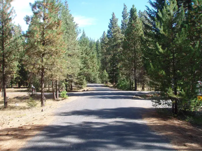
Overview Kaner Flat Campground, located in the Little Naches Drainage, is a 49 unit campground that has 25 reservable sites between Memorial Day weekend and Labor Day weekend. After mid-September all sites are available on a first come-first serve basis. Features include an RV loop with long pull through parking, flush toilets, potable water, and an on-site Forest Service Host. Recreation This campground is a popular base camp location for hunting, fishing, and OHV riders. There are a plethora of trails for dirt bikes, jeeps, hiking, mountain biking, and horseback riding near this campground. Facilities The campground has 25 reservable sites available between Memorial Day weekend and Labor Day weekend. After, mid-September all sites are available on a first come-first serve basis. Features include an RV loop with long pull through parking, flush toilets, potable water, picnic tables, campfire rings, trash collection and an on-site Forest Service Host. Natural Features The Little Naches River area is surrounded by a predominately ponderosa pine forest. Okanogan-Wenatchee National Forest offers stunning scenic views, with high, glaciated alpine peaks, valleys of old growth forest and rugged shrub-steppe country making up the diverse landscape. Elevations range from below 1,000 feet to more than 9,000 feet. Precipitation varies greatly throughout the area, ranging from approximately 140 inches along the Cascade Crest to only 10 inches along the eastern edge. Visitors can expect many days of warm, sunny weather in the summer, and winters with clear skies and plenty of snow. The area supports wildlife such as deer, squirrels, native fish, black bear and migratory birds. Nearby Attractions Boulder Cave National Recreation Trail is one of the most popular places in the Naches District. Visitors can walk the accessible trail along the river or explore Boulder Cave. Interpretive signs along the trail explain the geology, plants, animals and fire history of the area. Visitors will also enjoy traversing the Chinook Scenic Byway, considered one of Washington's premier driving excursions. Spectacular views of Mount Rainier, old-growth forests, alpine peaks, jagged ridges and river canyons dominate this 92-mile journey. In addition to trails open to multiple uses within 10 miles of the campground, there are also opportunities for gold panning, hunting, and fishing.
From the USFS.Official page
Is KANER FLAT CAMPGROUND free?
No. KANER FLAT CAMPGROUND charges a fee. It is managed by the USFS. Sites are reservable through recreation.gov.
How do I get to KANER FLAT CAMPGROUND?
From Naches, WA travel west on Highway 12 for 4.4 miles. Continue straight onto Highway 410 W for 24.2 miles. Turn right on Little Naches Road / Forest Road 19 and follow for 2.5 miles to campground entrance on right.
What are the rules at KANER FLAT CAMPGROUND?
Trailers 30 feet max.
Nearby
SourceData from the USFS. Last synced September 19, 2026. Community reports and photos are submitted by travelers and are not verified by the agency.
