
EAGLE CREEK OVERLOOK GRP SITE
Campground · Fee not listed
Fast facts
- Cost
- Not listed. Check locally.
- Type
- Campground
- Phone
- 541-308-1700
- Nearest dump station
- Bumping Lake Dump Station · 88.9 mi
- Coordinates
- 45.6420, -121.9304
- Last verified
- September 19, 2026
About this place
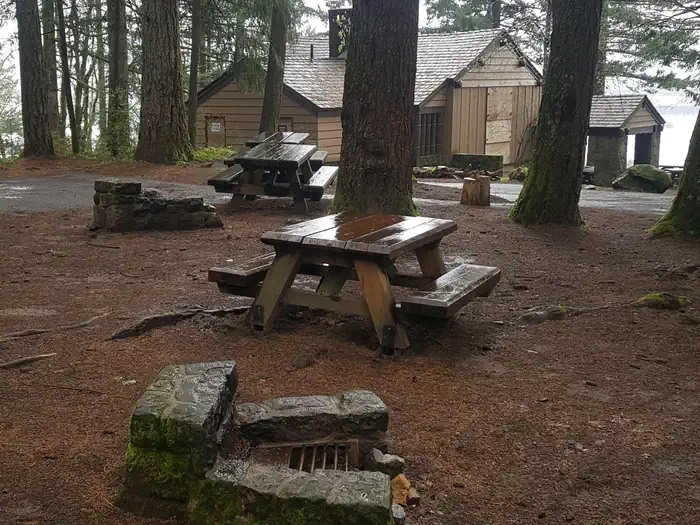
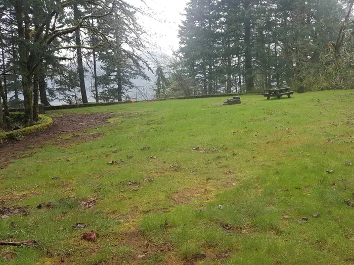
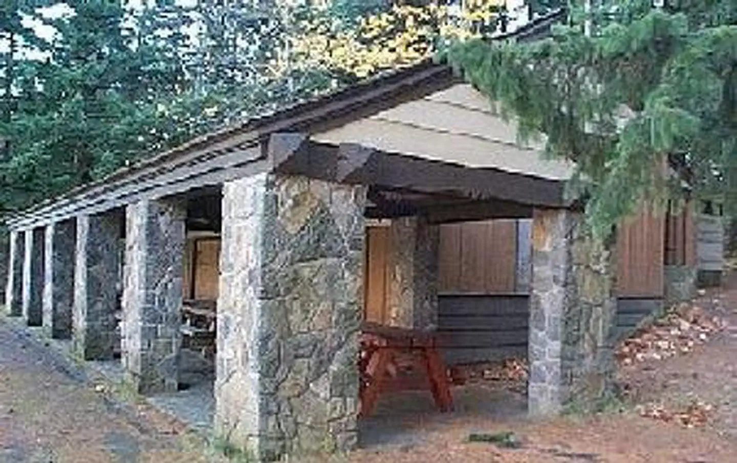
Overview Eagle Creek Overlook Group Site is set on a forested bluff above the Columbia River, providing an ideal setting for family gatherings and group events. Developed by the Civilian Conservation Corps (CCC) in the 1930s as a place to view construction of the Bonneville Dam, this site features CCC masonry and offers expansive views of the Columbia River and mountains rising from the gorge. Recreation The Eagle Recreation Area, just a short walk or bike ride away, provides visitors with opportunities for picnicking, hiking and wildlife viewing. Bonneville Dam, about a mile west of the campground, features sturgeon ponds, fish viewing and a visitor's center. Visitors will find display ponds showcasing large rainbow trout and adult white sturgeon measuring more than ten feet long. Interpretive displays offer visitors insight into the history and construction of the dam and its impact on the surrounding areas. The Eagle Creek Trail* is the most popular trail in the Columbia Gorge, offering spectacular viewpoints and waterfalls. The relatively easy trail follows Eagle Creek through the forest and along paths carved into basalt cliffs. Notable stopping points include Punch Bowl Falls, where water spills 100 feet into a blue-green pool set in a large grotto, High Bridge, which traverses the gorge 150 feet above the creek and Tunnel Falls, where the trail passes through a tunnel behind the shower of falling water. This trail is part of a multi-day loop opportunity which continues into the Mark O. Hatfield Wilderness in the Mt. Hood National Forest. *Please check the CRGNSA website (https://www.fs.usda.gov/crgnsa) for the latest trail information. Facilities The Eagle Creek Overlook Group Site holds up to 90 people and approximately 40 cars, including trailers. There is a train trestle with under-clearance of 11' 6". The site is equipped with a large covered picnic shelter, picnic tables, campfire rings, drinking water and newly remodeled accessible flush toilets. A path from the site down the bluff provides access to the Columbia River. Natural Features Spanning southern Washington and northern Oregon, from the mouths of Sandy River to the Deschutes River, the Columbia River Gorge is unique in both its natural and cultural history, as well as its designation as a National Scenic Area. It is a spectacular river canyon, 80 miles long and up to 4,000 feet deep, cutting the only sea level route through the Cascade Mountain Range. Nearby Attractions A portion of the historic Columbia River Highway has been converted to a bike path. Access is just a few minutes from the Overlook and the trail runs 2 miles east to Cascade Locks and 4 miles west to John Yeon State Park. Visitors may want to traverse at least a portion of the spectacular Pacific Crest Trail (PCT), one of the world's premier National Scenic Trails. This trail showcases some of North America's most fantastic scenery, winding its way its way from Mexico to Canada through California, Oregon and Washington.
From the managing agency.
Is EAGLE CREEK OVERLOOK GRP SITE free?
We do not have a fee on record for EAGLE CREEK OVERLOOK GRP SITE. Confirm the cost locally before you go.
How do I get to EAGLE CREEK OVERLOOK GRP SITE?
EAGLE CREEK OVERLOOK GRP SITE is at 45.6420, -121.9304. We do not hold written directions for this one, so navigate to the coordinates.
Nearby
SourceSource data is agency published. Last synced September 19, 2026. Community reports and photos are submitted by travelers and are not verified by the agency.
