
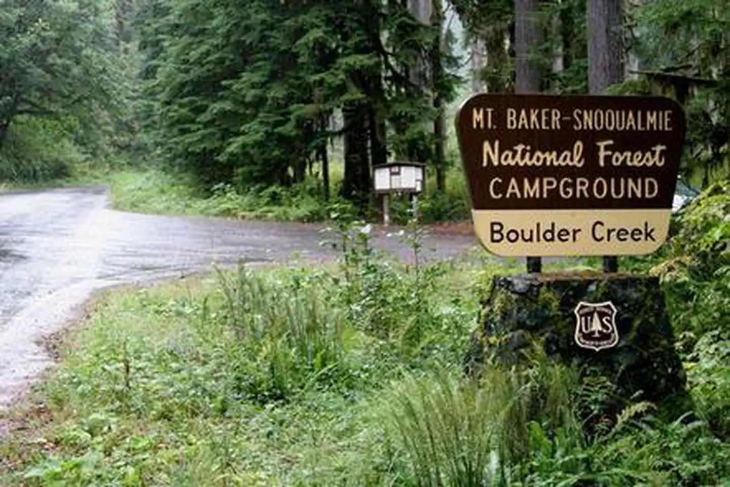
Boulder Creek Campground
USFS · Campground · Fee
Fast facts
- Cost
- Fee charged
- Managed by
- USFS
- Type
- Campground
- Hours
- Quiet hours are 10:00 p.m. until 6:00 a.m.
- Reservations
- recreation.gov
- Phone
- 360-804-1103
- Coordinates
- 48.7154, -121.6945
- Last verified
- September 19, 2026

About this place
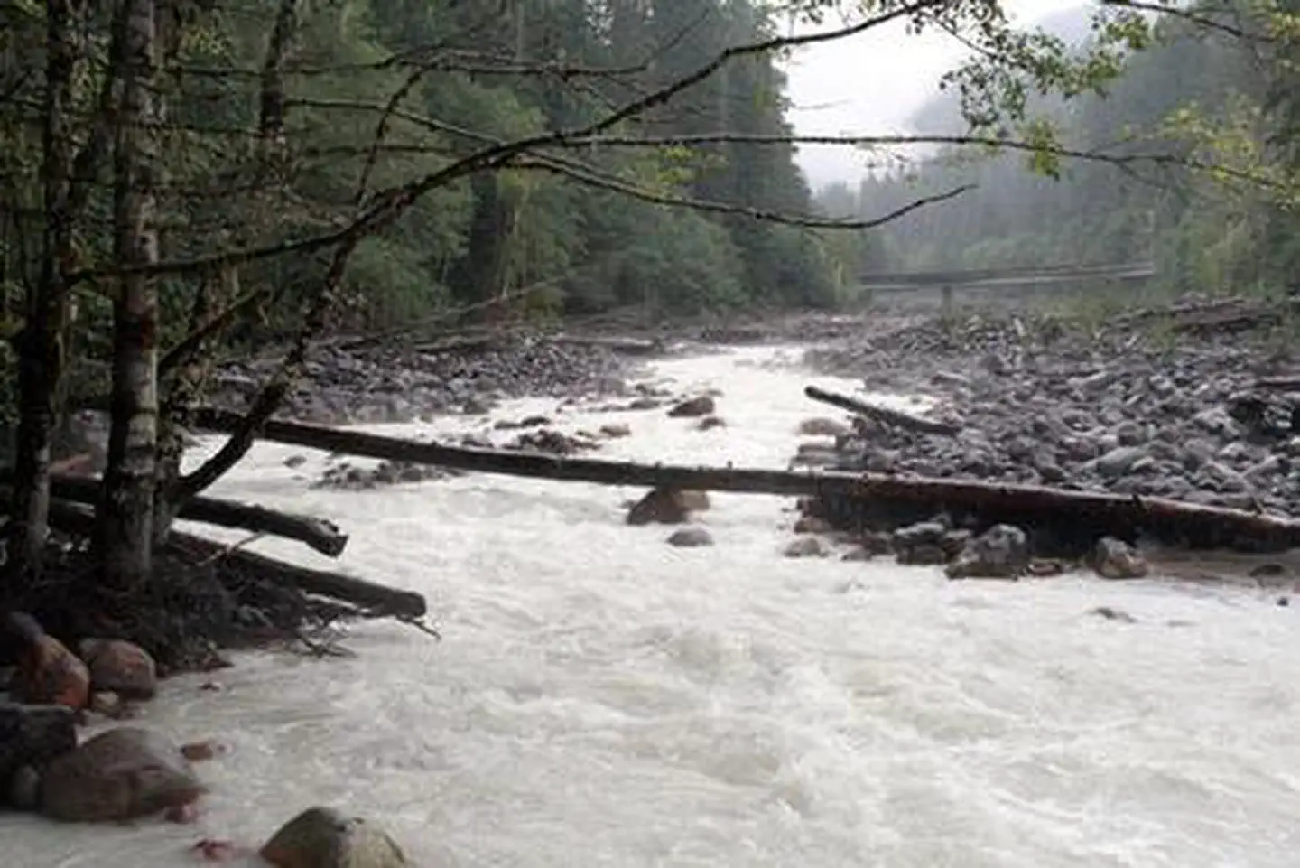
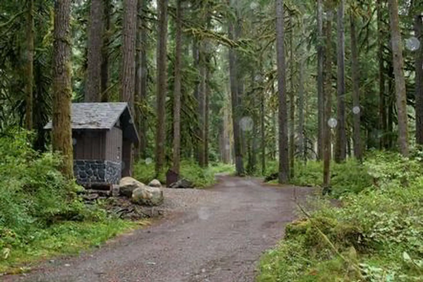
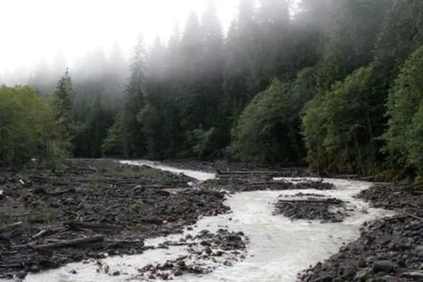
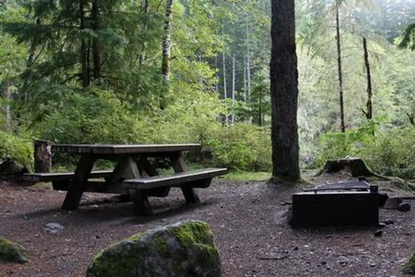
Overview Boulder Creek Campground sits along the banks of Boulder Creek in the stunning Mt. Baker-Snoqualmie National Forest. The unique setting offers many recreational activities and scenic views. Baker Lake is close by, and several hiking trails and climbing routes are within a short driving distance. Recreation The surrounding area is a prime location for hiking, climbing, boating, fishing, picnicking and horseback riding in summer and early fall, and snowmobiling in the winter months. Baker Lake is a popular destination for boating, water skiing, canoeing, fishing and swimming. Anglers cast for a variety of fish species. Boat ramps are available at Horseshoe Cove, Swift Creek and Shannon Creek Campgrounds. The nearby Baker Lake Trail is an easy family hike that begins in a majestic stand of Douglas fir. In 1843, a small eruption of Mt. Baker caused a forest fire, and visitors can still see the burned snags of virgin cedar trees that once dominated the area. The trail contours above the eastern shoreline of Baker Lake. The Shadow of the Sentinels Trail begins just south of the campground. This accessible interpretive trail winds through a 500-year old ancient forest. Displays along the path explain the dynamics of the forest. The trail is constructed of asphalt and boardwalks with grades no greater than 8%. Facilities Boulder Creek Campground accommodates both tent and RV campers, and contains a group site. Picnic tables, campfire rings and vault toilets are provided, but drinking water and hookups are not available. Visitors must bring their own supply of water. Natural Features The Mt. Baker-Snoqualmie National Forest showcases rugged peaks, sparkling alpine lakes and old-growth forests, providing visitors with unique and surprising landscapes. Mt. Baker, the most prominent feature of the Mt. Baker Wilderness, dominates the landscape on a clear day. Rising to an elevation of 10,781 feet, the active volcano is perpetually snow-capped and mantled with an extensive network of creeping glaciers. Mt. Baker's summit, Grant Peak, is a 1,300-foot-deep mound of ice, which hides a massive volcanic crater. Wildlife in the area includes mountain goats traversing the higher elevations to squirrels and black bears in the forests. Migratory birds and native fish find ample habitat in the varied ecosystems as well. Contact Info For facility specific information, please call (530) 932-0242. Nearby Attractions Hike in the mountains above the lake in the Mt. Baker National Recreation Area or Mt. Baker Wilderness or take some time to visit North Cascades National Park. This unique park features a deep blue lake surrounded by sheer, 2,000' cliffs, two picturesque islands and a violent volcanic past. Hiking trails, a visitor center and educational programs are available. Charges & Cancellations Once your reservation start date has begun, neither the Recreation.gov Contact Center nor the campground manager will be able to modify your reservation.
From the USFS.Official page
Is Boulder Creek Campground free?
No. Boulder Creek Campground charges a fee. It is managed by the USFS. Sites are reservable through recreation.gov.
How do I get to Boulder Creek Campground?
From the Mt. Baker Ranger District in Sedro-Woolley, WA follow State Route 20 east for 16 miles to milepost 82. Turn left (north) on the Baker Lake Highway (Forest Service Road 11). Continue approximately 17.8 to campground.
What are the rules at Boulder Creek Campground?
All developed site regulations apply. Dogs must be on leash, campfires in developed rings only, quiet hours between 10 p.m. and 8 a.m. Fireworks are prohibited. Stay limit is 14 days.
Nearby
- Panorama Point Campground1.2 mi
- Lower Sandy Camping Area1.7 mi
- Park Creek Campground1.9 mi
- Swift Creek Campground1.9 mi
- Maple Grove Campground2.6 mi
- Bayview Campground2.9 mi
- Bayview Campground (Mt. Baker-Snoqualmie National Forest, WA)2.9 mi
- Horseshoe Cove Campground3.1 mi
No other services within 50 mi on the record.
SourceData from the USFS. Last synced September 19, 2026. Community reports and photos are submitted by travelers and are not verified by the agency.
