
BONAPARTE LAKE CAMPGROUND
USFS · Campground · Fee
Fast facts
- Cost
- Fee charged
- Managed by
- USFS
- Type
- Campground
- Hours
- Open 24 hours/day
- Phone
- 509-486-2186
- Coordinates
- 48.7925, -119.0574
- Last verified
- September 19, 2026
About this place
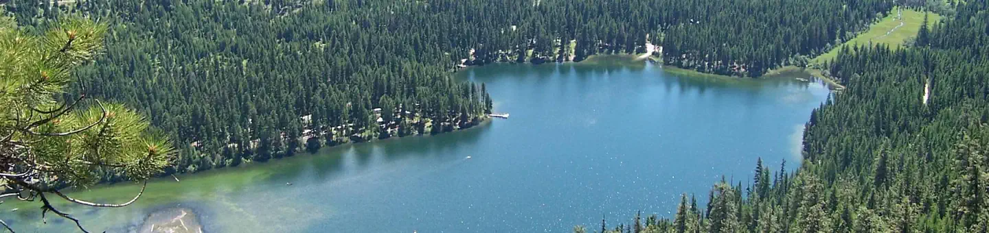
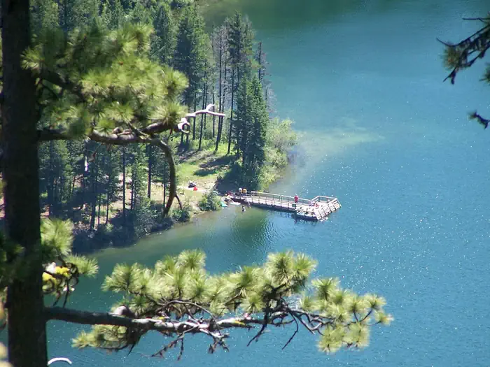
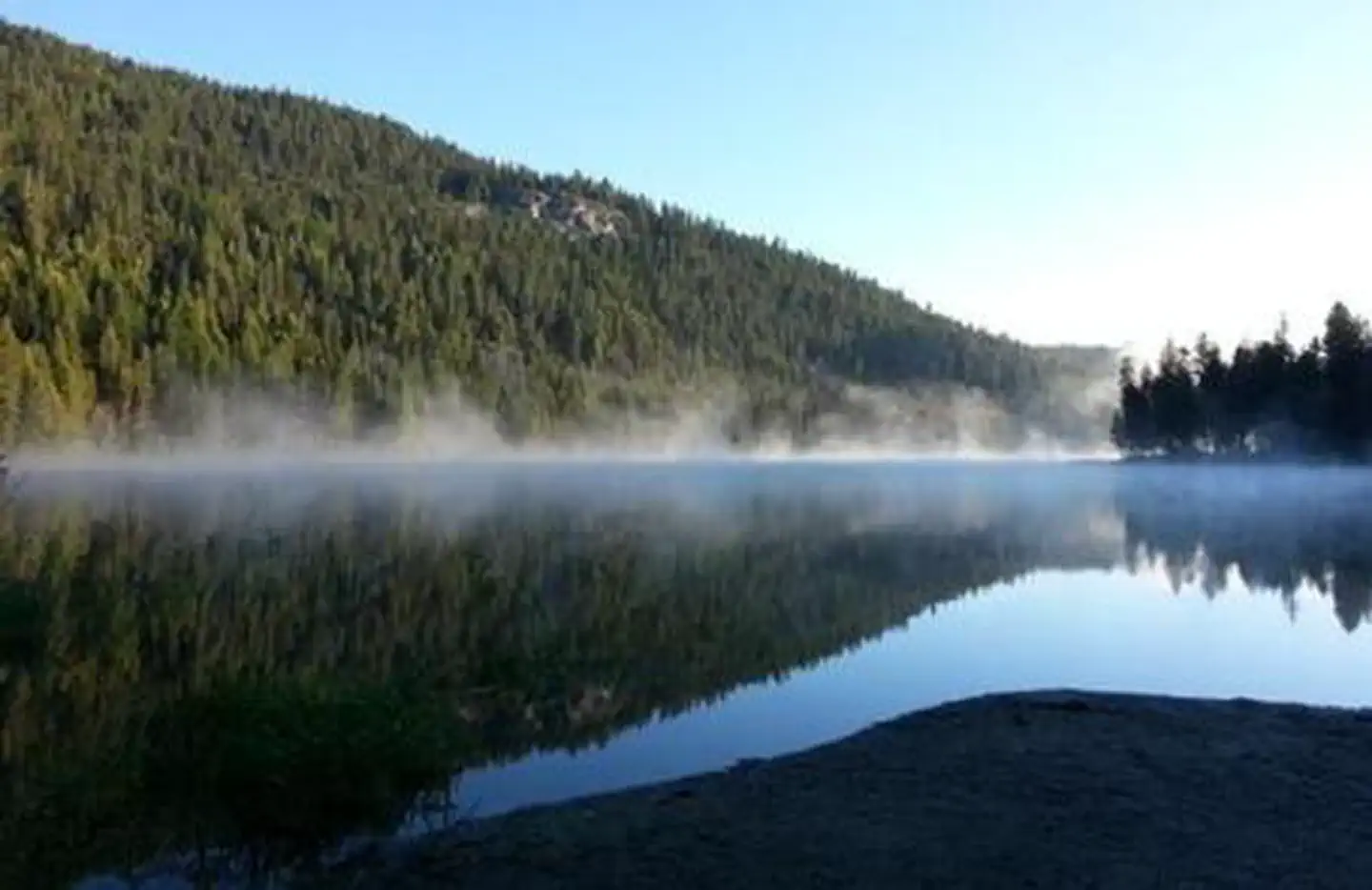
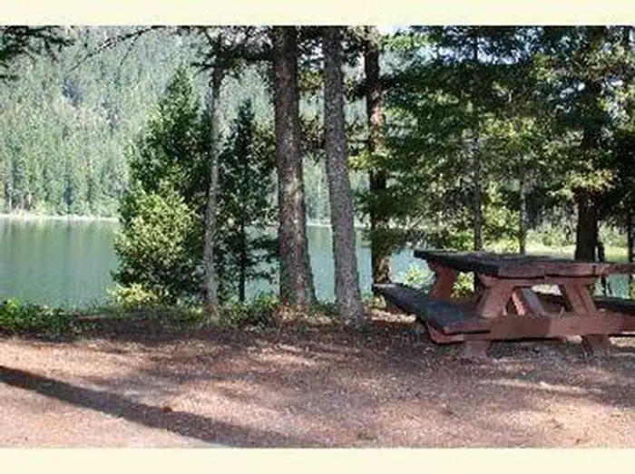
Overview Bonaparte Lake Campground is located on the southern edge of Bonaparte Lake east of Tonasket, WA, in the Okanogan-Wenatchee National Forest. The setting of the campground is in a mixed ponderosa pine and Douglas fir conifer forest at the base of Bonaparte Mountain. This campground has a group site, multiple family and individual campsites available. Recreation Fishing is a popular activity on the lake, with anglers enjoying boat fishing for rainbow, brook, and cutthroat trout as well as using the accessible fishing dock. A boat launch area is available in the campground. Kayaking, canoeing, and swimming can also be enjoyed. Hiking around the lake or up the Pipsissewa Trail, which is accessed from the southern loop, are popular activities. Taking a bike ride on the surrounding roads is also available. Facilities The sites are equipped with picnic tables and campfire grills. All sites can accommodate tents and some sites feature tent pads. The group site is equipped with drinking water, picnic tables, campfire grills, a community fire pit, RV/Camper parking and room for tent sites. A group shelter is available at the site. Drinking water, vault and flush toilets are also available in the campground. Access to the lake and boat launch are within walking distance. Natural Features Bonaparte Lake's elevation is at 3,600 feet and is home to multiple waterfowl species including the rare northern loon. Mule deer, elk, moose, and the occasional black bear can be sighted in the area. Bonaparte, Spur, and Cumberland Mountains surround the lake. Nearby Attractions Pipsissewa Trail to Pipsissewa Point, which overlooks Bonaparte Lake, is a two mile hike from the campground. Continuing from there onto the South Side trail #308 for five miles will take you to the Bonaparte Mountain Fire Lookout. Lost Lake Campground is approximately 10 miles away on the 33 road. Beaver Lake and Beth Lake Campgrounds are approximately seven miles away on the 32 road. Within 10 miles visitors can explore accessible and interpretive trails, geologic attractions, scenic overlooks, and scenic drives.
From the USFS.
Is BONAPARTE LAKE CAMPGROUND free?
No. BONAPARTE LAKE CAMPGROUND charges a fee. It is managed by the USFS.
How do I get to BONAPARTE LAKE CAMPGROUND?
BONAPARTE LAKE CAMPGROUND is at 48.7925, -119.0574. We do not hold written directions for this one, so navigate to the coordinates.
Nearby
- Bonaparte Lake Group Site0.0 mi
- LOST LAKE GROUP UNIT4.2 mi
- Lost Lake Campground - Tonasket4.2 mi
- Beth Lake Campground5.6 mi
- Beaver Lake Trailhead5.7 mi
- Lyman Lake Dispersed Camping18.5 mi
- Swan Lake Campground21.5 mi
- SWAN LAKE KITCHEN21.5 mi
No other services within 50 mi on the record.
SourceData from the USFS. Last synced September 19, 2026. Community reports and photos are submitted by travelers and are not verified by the agency.
