
Boardman Group Camp
USFS · Campground · Fee
Fast facts
- Cost
- Fee charged
- Managed by
- USFS
- Type
- Campground
- Hours
- Check in: 2:00 p.m.; Check-out: 12:00 p.m.
- Reservations
- recreation.gov
- Phone
- 360-804-1103
- Nearest dump station
- Bumping Lake Dump Station · 85.8 mi
- Coordinates
- 48.0700, -121.6764
- Last verified
- September 19, 2026
About this place
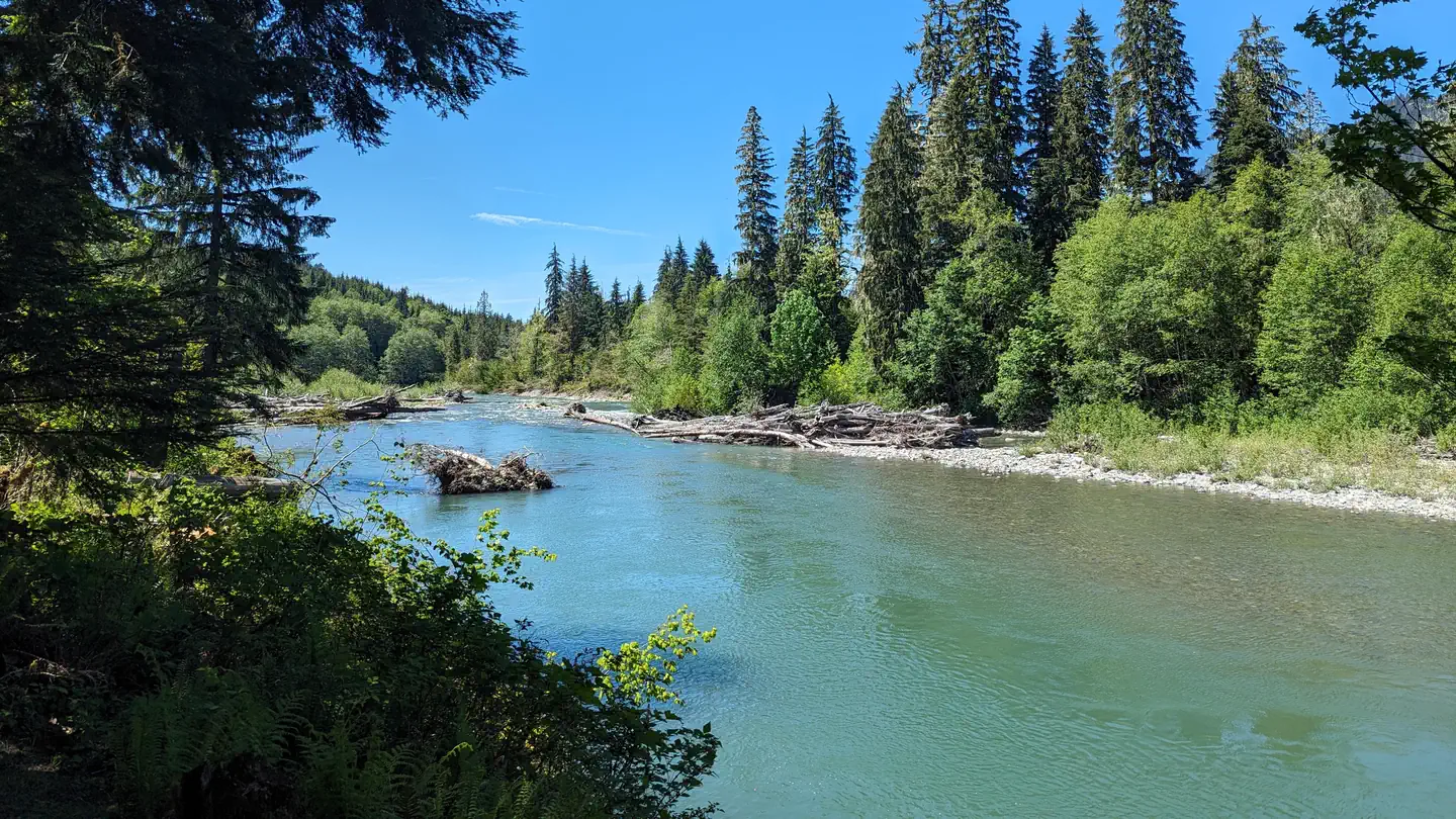
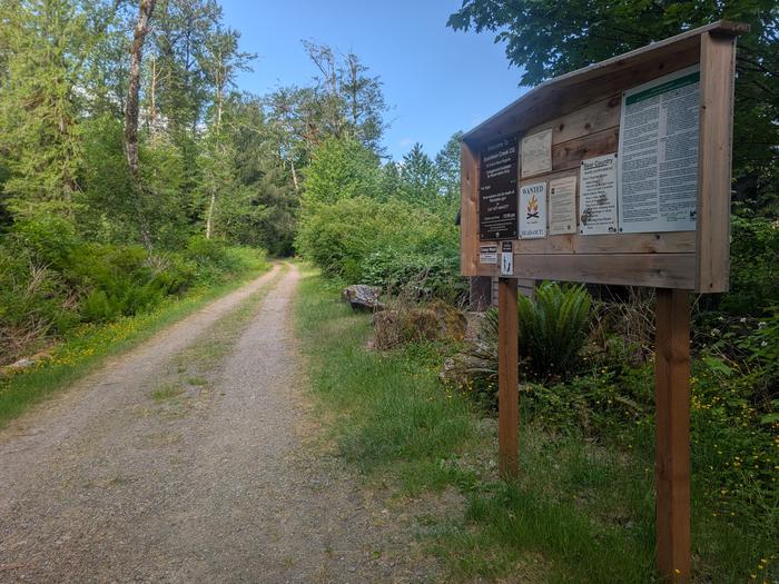
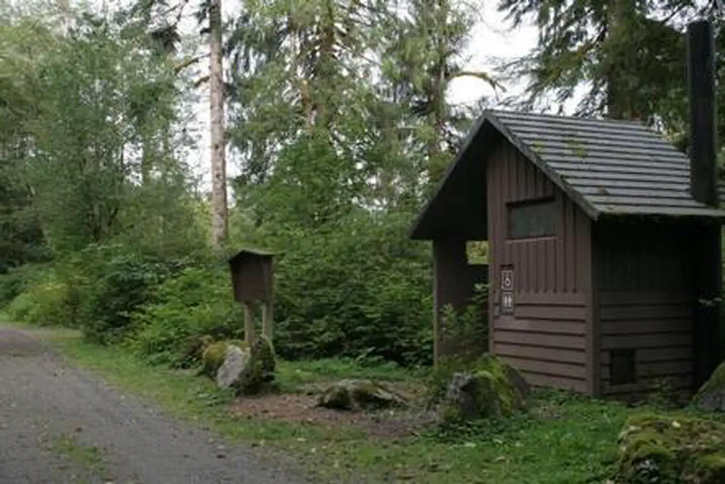
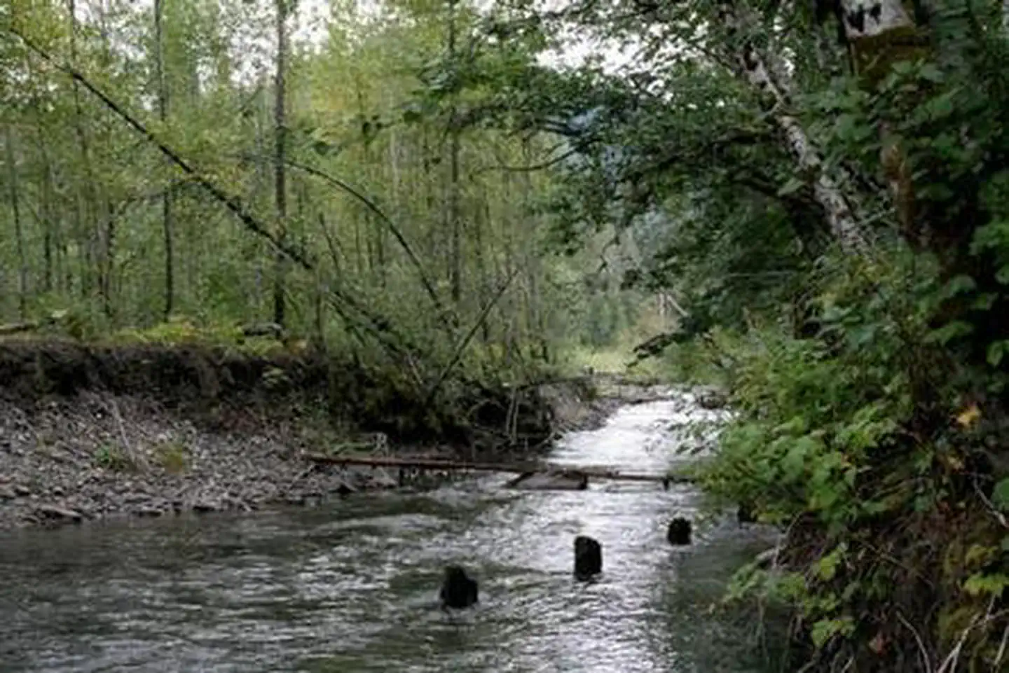
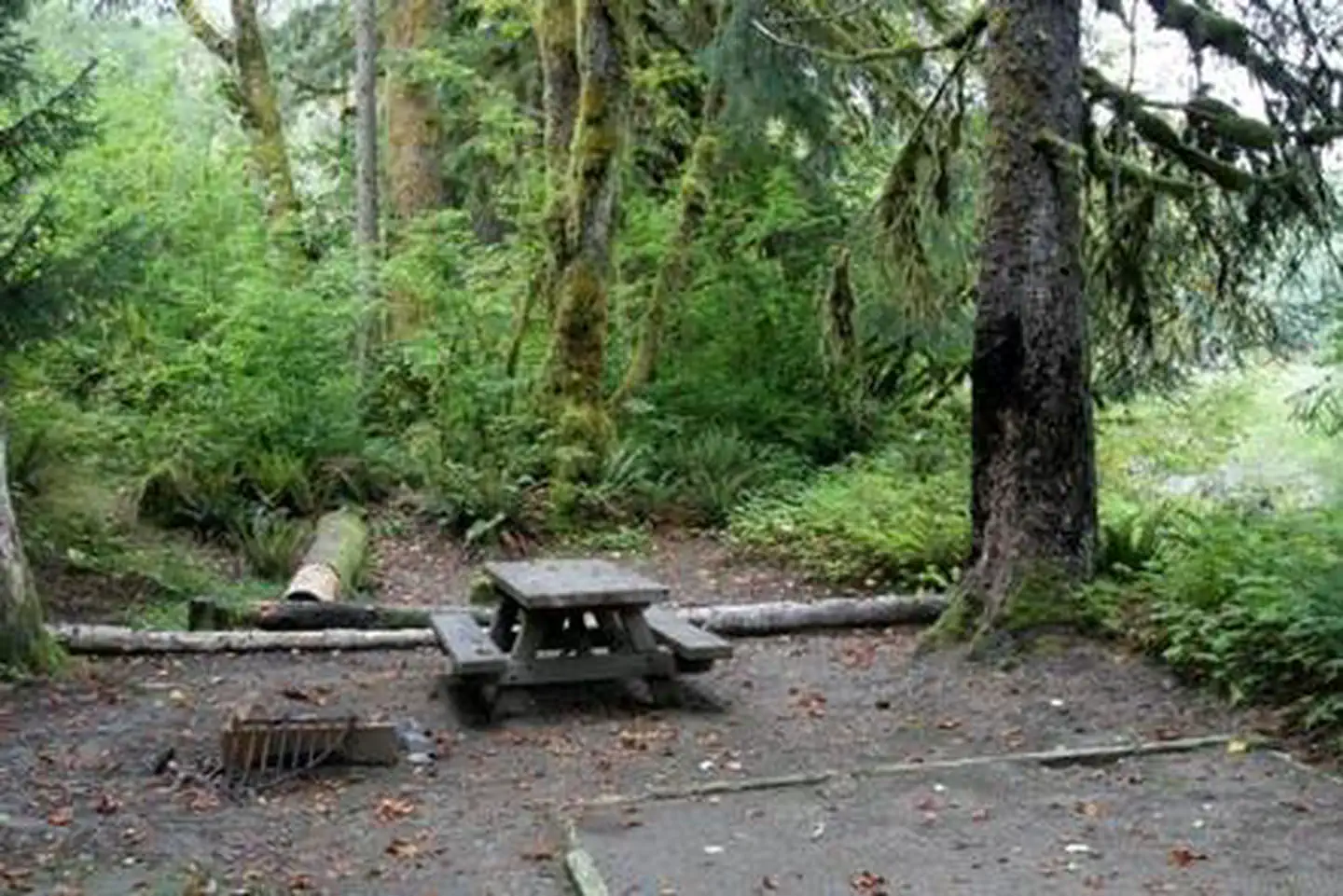
Overview Boardman Group Campground is located about 8 miles east of the Verlot Public Service Center along scenic Mountain Loop Scenic Byway through Mt. Baker-Snoqualmie National Forest. The campground is located on the banks of the tranquil Stillaguamish River, in close proximity to several wilderness areas. Recreation In addition to being a prime location for hiking, fishing, picnicking and horseback riding in summer and early fall, visitors can take advantage of skiing and snowshoeing in the winter months. Anglers enjoy fishing from the gently-flowing Stillaguamish River, which sustains populations chinook, coho, chum, pink and sockeye salmon, steelhead trout, sea-run cutthroat and bull trout. Facilities The campground offers just one site, making it a perfect setting for groups of up to 35 people. RVs are welcome. A small amount of traffic noise from the adjacent highway can be heard, but the river helps mask it. The site is equipped with tables and campfire rings with grills. Vault toilets are available, but there is no drinking water. Visitors must bring their own supply. Natural Features The Mt. Baker-Snoqualmie National Forest offers visitors the chance to explore the region's rugged peaks, scenic rivers, and interesting wildlife within the forest and surrounding designated wilderness areas. Visitors will find unique ecosystems along the banks of the Stillaguamish River. Old-growth forests of cedar, fir and hemlock line the wide, gently-flowing river and tower over trails winding through moss-covered rocks. On a clear day visitors will see Mt. Baker, the most prominent feature of the Mt. Baker Wilderness Area. Rising to an elevation of 10,781 feet, the active volcano is perpetually snow-capped and mantled with an extensive network of creeping glaciers. Mt. Baker's summit, Grant Peak, is a 1,300-foot-deep mound of ice, which hides a massive volcanic crater. Undeveloped wilderness, clean streams and diverse forests provide important habitat for wildlife, including birds, amphibians, reptiles and more rare species such as lynx, moose, wolves, and wolverine. Grizzly bear sightings have been confirmed in the Cascade region, though black bears are more common. Nearby Attractions Traverse a portion of the spectacular Pacific Crest Trail (PCT), one of the world's premier National Scenic Trails. This trail showcases some of North America's most fantastic scenery as it winds its way from Mexico to Canada through California, Oregon and Washington. Contact Info For facility specific information, please call (530) 932-0242. Charges & Cancellations Once your reservation start date has begun, neither the Recreation.gov Contact Center nor the campground manager will be able to modify your reservation.
From the USFS.Official page
Is Boardman Group Camp free?
No. Boardman Group Camp charges a fee. It is managed by the USFS. Sites are reservable through recreation.gov.
How do I get to Boardman Group Camp?
From the Verlot Public Service Center travel east on the Mt. Loop Scenic Byway for 5.9 miles. The campground is on the north/river side of the road immediately after crossing Boardman Creek. Use of this group campground is by reservation.
What are the rules at Boardman Group Camp?
All developed site regulations apply. Dogs must be on leash, campfires in developed rings only, quiet hours between 10 p.m. and 8 a.m. Fireworks are prohibited. Stay limit is 14 days.
Nearby
SourceData from the USFS. Last synced September 19, 2026. Community reports and photos are submitted by travelers and are not verified by the agency.
