
Big Pines
Campground · Fee not listed
Fast facts
- Cost
- Not listed. Check locally.
- Type
- Campground
- Phone
- 509-665-2100
- Nearest dump station
- Bumping Lake Dump Station · 40.2 mi
- Coordinates
- 46.7994, -120.4614
- Last verified
- September 19, 2026

About this place
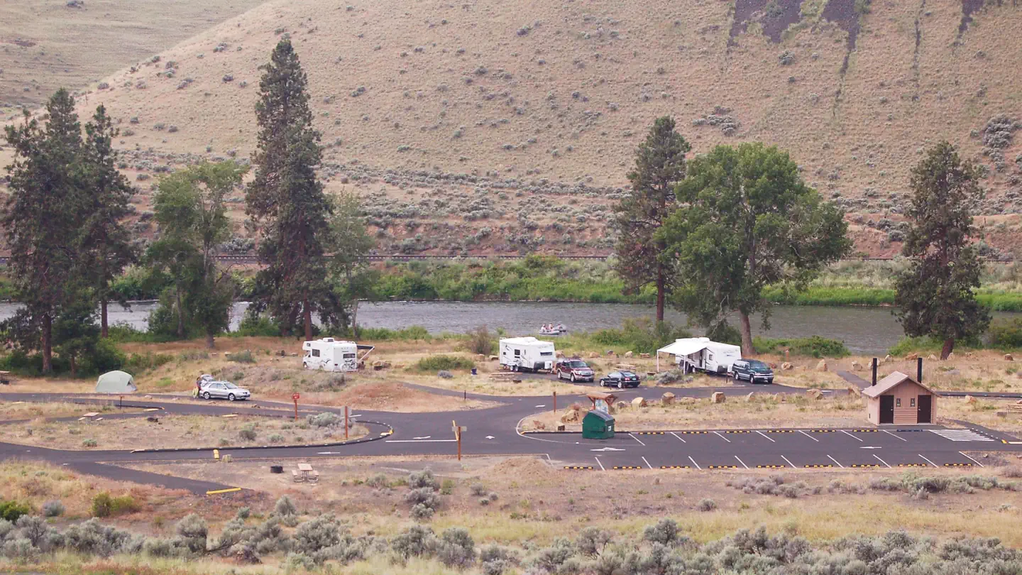
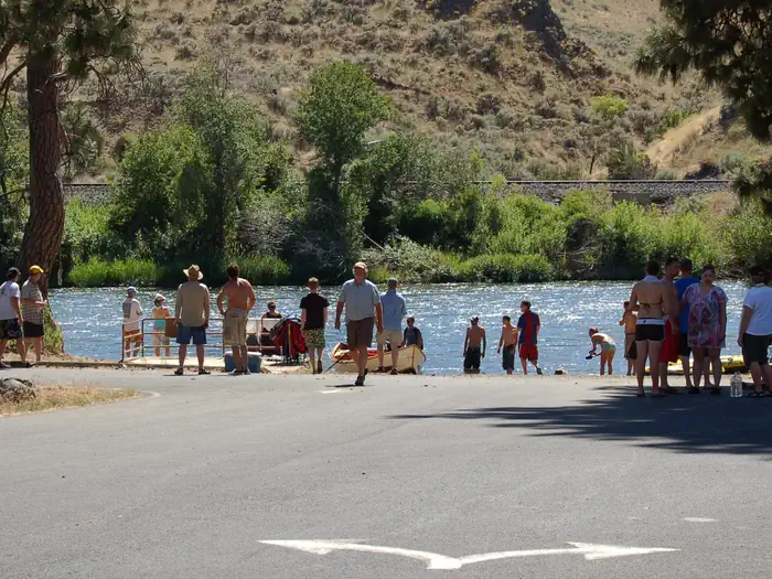
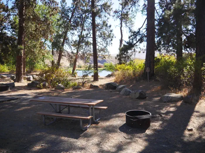
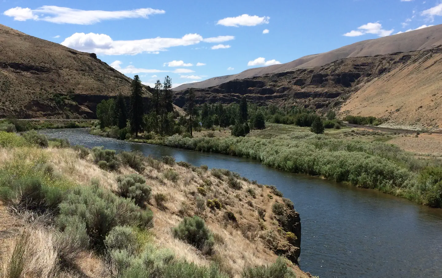
Overview The gentle Yakima River winds for 27 miles through massive basalt cliffs and rolling desert hills between Ellensburg and Yakima, Washington. The Canyon offers excellent wildlife watching, plant viewing, fishing in a Blue Ribbon trout stream, family river rafting and camping. The Bureau of Land Management administers over 9700 acres in the Yakima River Canyon area, including five developed river access sites. An overnight and day use fee is charged and reservations are accepted through www.recreation.gov, campsites will only be held until checkout time (11am) the next day. If reservation holder doesn't show up by then, the site is released. Hookups and potable water are not provided. The recreation sites are open year round, with the largest crowds filling the sites on hot summer weekends. Recreation The Yakima River Canyon is enjoyed all year, by people of all ages. Summers are crowded, with thousands of people floating the Yakima River. Visitors also enjoy camping, picnicking and motorized watercraft use in the half-mile long pool above Roza dam. During the quieter months of spring, fall and winter, popular activities include wildlife viewing, hiking, hunting and fishing. Facilities The Big Pines recreation site is BLM's largest recreation site in the Yakima River Canyon, and offers both overnight and day use amenities including picnic tables, fire rings, nearby dumpsters, vault toilets and a non-motorized river put in/takeout site. There are also several group campsites and several walk-in only campsites. The northern edge of the site is adjacent to undeveloped hiking trails on land managed by WA Department of Fish and Wildlife. Natural Features The gentle Yakima River winds for 27 miles through massive basalt cliffs and rolling desert hills in the Yakima River Canyon of central Washington. Formed from the slow carving of the Yakima River through the enormous folds (anticlines) in the otherwise nearly "flat" basalt layers of the Columbia Basin, the Yakima River Canyon shelters a range of habitats, making home to a diverse mixture of Eastern Washington flora and fauna. Bighorn sheep, elk and mule deer can often be spotted on the river’s banks, and the canyon’s sheer cliffs and crevices are home to the state’s densest concentration of nesting hawks, eagles and falcons. Over 200 species of birds use the Yakima Canyon for breeding and nesting, as a migration route or a winter residence. A thriving "Blue Ribbon" trout stream, the Yakima is managed for quality catch and release trout fishing, and anglers share the water with summer floaters and rafters. Access to the various recreation sites and river access points is easy, as State Route 821 parallels the river. This was the first highway in Washington to be designated a State Scenic Byway in 1968, and today's visitors enjoy the same scenic beauty as experienced by Native American tribes and settlers to the area. Nearby Attractions The State Scenic Byway of Highway 821 follows the Yakima River through the canyon running between the cities of Ellensburg and Yakima, WA. Central Washington University, and Cowiche Canyon trails are nearby. Umtanum recreation site offers a footbridge to cross the Yakima River and access to Washington State Department of Fish and Wildlife Lands on the west side of the river.
From the managing agency.
Is Big Pines free?
We do not have a fee on record for Big Pines. Confirm the cost locally before you go.
How do I get to Big Pines?
Big Pines is at 46.7994, -120.4614. We do not hold written directions for this one, so navigate to the coordinates.
Nearby
SourceSource data is agency published. Last synced September 19, 2026. Community reports and photos are submitted by travelers and are not verified by the agency.
