
Stoughton Pond Rec Area
Campground · Fee not listed
Fast facts
- Cost
- Not listed. Check locally.
- Type
- Campground
- Phone
- 802-886-2775
- Coordinates
- 43.3811, -72.5011
- Last verified
- September 19, 2026
About this place
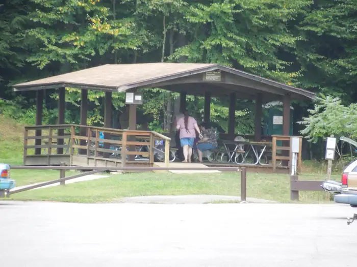
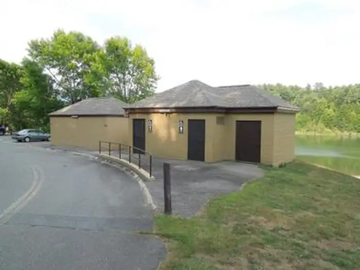
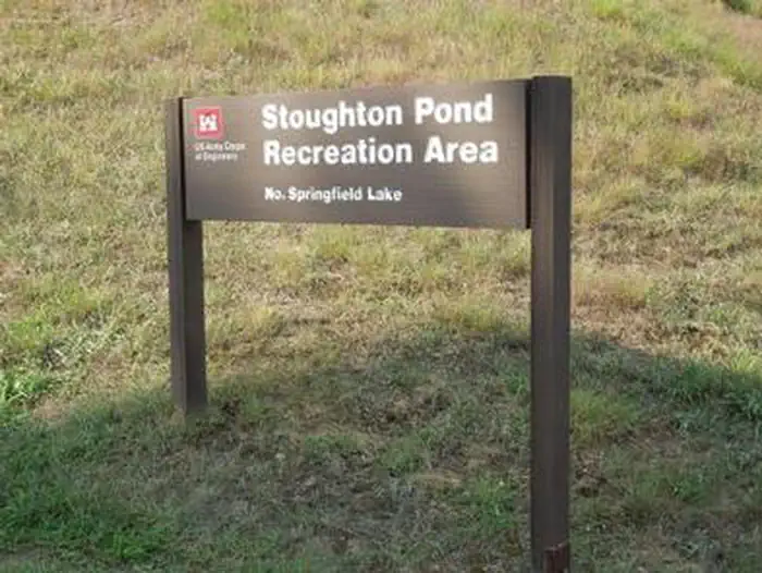
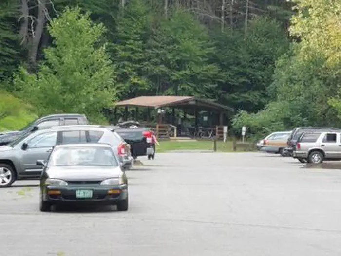
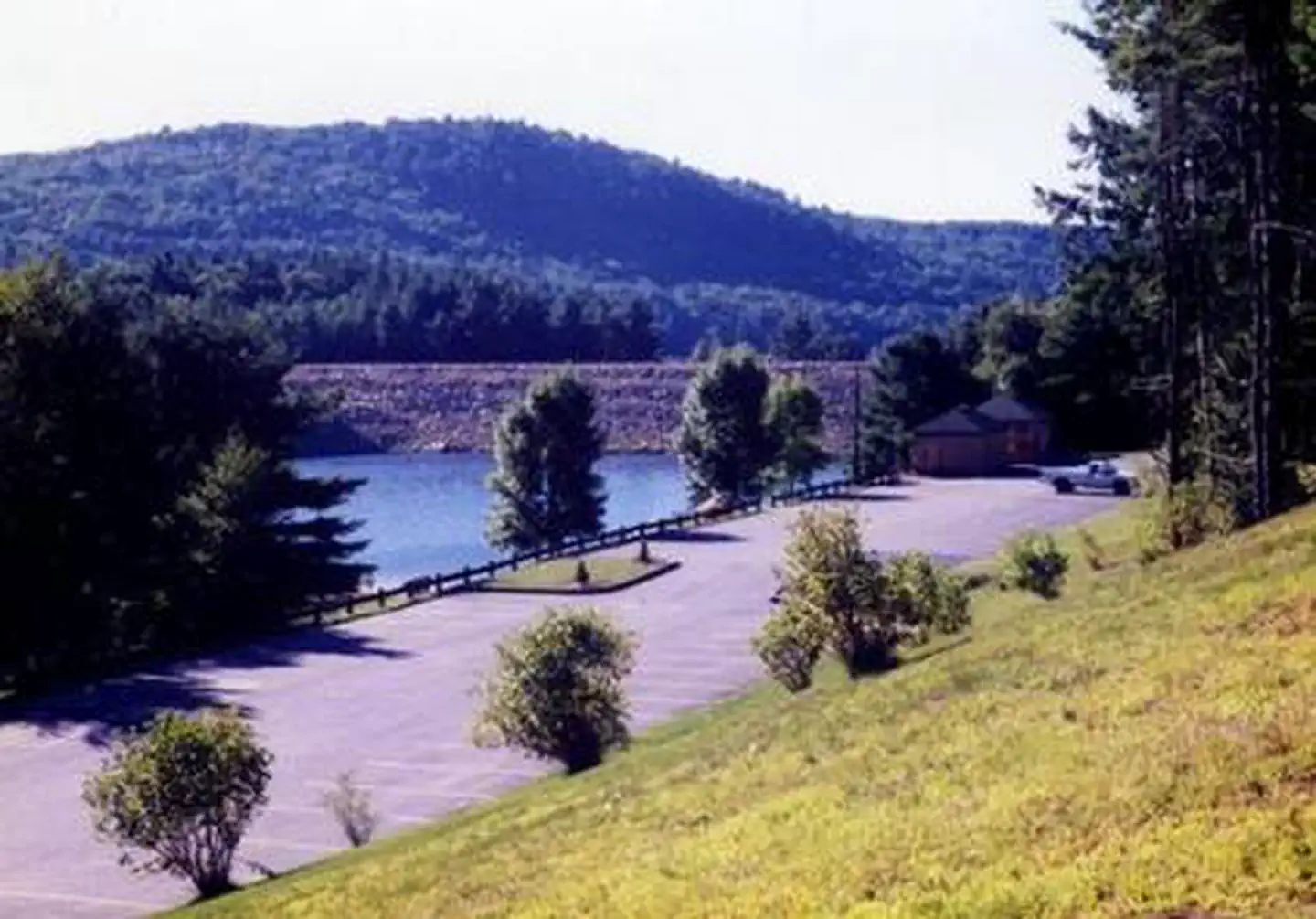
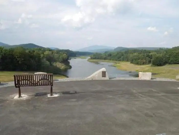
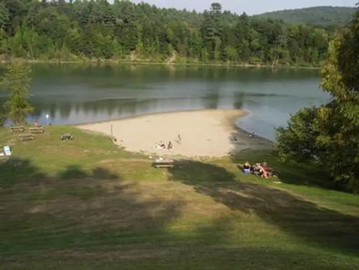
Overview Stoughton Pond Recreation Area is a day use area located to the north of North Springfield Lake. Stoughton Pond is located off State Route 106 on Stoughton Pond Road in Perkinsville, Vermont. Recreation Stoughton Pond Recreation Area offers plenty of activities for visitors of all ages. Many people enjoy canoeing, kayaking, boating and fishing. The state of Vermont Department of Fish and Game annually stock the pond with rainbow trout, and the pond also offers excellent bass fishing. A boat ramp is available, located off Plains Road. An interpretive trail winds along the side of the pond. Hikers are treated to views of wetlands and uplands, both with a wide diversity of natural habitats. A multi-use trail system is located at the main reservoir, North Springfield Lake. Facilities Stoughton Pond Recreation Area offers a group picnic shelter with tables and a large grill. Ten family picnic sites are also available on a first-come, first-served basis. Flush toilets, change house and drinking water are available on site. Amenities at this family-friendly park include a swimming area with a great beach, grassy areas for sun bathing and a boat ramp for small boats, canoes and kayaks. The park is staffed by uniformed park rangers who offer special programs on a variety of nature topics throughout the season. Natural Features Stoughton Pond is situated among rolling hills on the North Branch of the Black River. Open lawns cover the park, with hardwood and softwood trees offering areas of shade and wildlife habitat.
From the managing agency.
Is Stoughton Pond Rec Area free?
We do not have a fee on record for Stoughton Pond Rec Area. Confirm the cost locally before you go.
How do I get to Stoughton Pond Rec Area?
Stoughton Pond Rec Area is at 43.3811, -72.5011. We do not hold written directions for this one, so navigate to the coordinates.
Nearby
- NORTH HARTLAND LAKE BEACH (VT)16.1 mi
- Greendale Campground16.2 mi
- Wintturin Shelter20.3 mi
- HAPGOOD POND21.6 mi
- Gov. Clement Shelter21.6 mi
- Hapgood Pond Campground21.6 mi
- Old Job Shelter21.6 mi
- Winhall Brook Camping Area21.7 mi
No other services within 50 mi on the record.
SourceSource data is agency published. Last synced September 19, 2026. Community reports and photos are submitted by travelers and are not verified by the agency.
