
SALTHOUSE BRANCH
Campground · Fee not listed
Fast facts
- Cost
- Not listed. Check locally.
- Type
- Campground
- Phone
- (540) 365-7005
- Coordinates
- 36.8136, -80.0400
- Last verified
- September 19, 2026


About this place
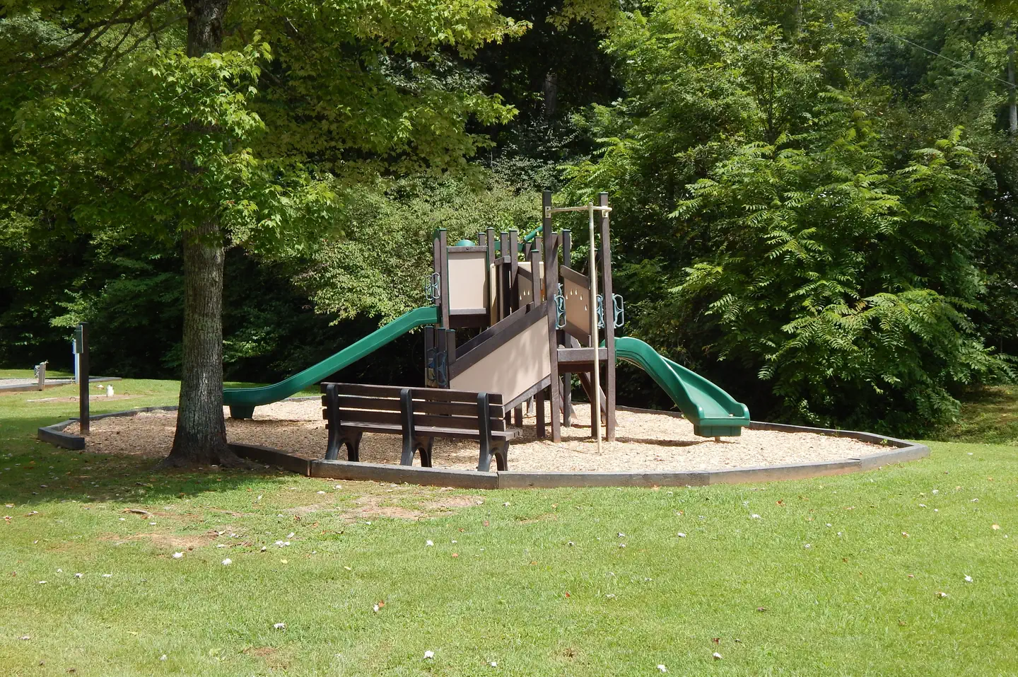
Overview Salthouse Branch Campground is nestled on the shores of Philpott Lake in the rugged foothills of Virginia's Blue Ridge Mountains. The park is located in a rural and sparsely populated part of Franklin County near the small community of Henry. Philpott Lake's clear water and natural shoreline make it a unique place for visitors to enjoy boating, fishing, hiking, picnicking and camping. Click here for the Philpott Lake Virtual Tour: https://corpslakes.erdc.dren.mil/visitors/virtual/philpott/tour.html Recreation The lake provides visitors with great boating and swimming opportunities. Anglers enjoy fishing for large and smallmouth bass, walleye, bluegill, crappie and catfish. There are two hiking trails accessible from the park. The Dogwood Glen trail is a 4.5 mile out-and-back, multi-use trail open to hikers, mountain bikers, and equestrians. The trail is moderate to strenuous in difficulty and connects Salthouse Branch Park to the Philpott Dam Tailrace. The Laurel Ridge trail is 2.25 miles out-and-back trail open to hikers and mountain bikers. It is moderate in difficulty and connects Salthouse Branch Park to Twin Ridge Park. Facilities The park offers both camping and day-use facilities, including 44 family sites with electric and water hookups and one group picnic shelter with electric and water. Also available are 46 primitive sites without utilities. Amenities include flush toilets, showers, drinking water and a dump station. A beach, boat ramp, dock, playground, and amphitheater are also on-site. Natural Features Philpott Lake covers 2,900 acres and has 100 miles of shoreline. The lake's steep, rocky banks meet beautiful mixed forests of oak, maple, hickory, pine and cedar. Wildlife is abundant throughout the area. Deer, turkeys, squirrels, raccoons, and a variety of songbirds and waterfowl are commonly viewed. Nearby Attractions The lake is adjacent to Fairystone State Park and Fairystone Farms Wildlife Management Area, which includes 5,300 acres of public recreational lands.
From the managing agency.
Is SALTHOUSE BRANCH free?
We do not have a fee on record for SALTHOUSE BRANCH. Confirm the cost locally before you go.
How do I get to SALTHOUSE BRANCH?
SALTHOUSE BRANCH is at 36.8136, -80.0400. We do not hold written directions for this one, so navigate to the coordinates.
Nearby
- GOOSE POINT1.2 mi
- HORSESHOE POINT1.9 mi
- PHILPOTT PARK2.6 mi
- Rock Castle Gorge Backcountry Camping16.4 mi
- Rocky Knob Campground16.9 mi
- CALDWELL FIELDS GROUP CAMPGROUND39.4 mi
- Pickle Branch Shelter39.9 mi
- Straight Branch Trail Shelter40.1 mi
No other services within 50 mi on the record.
SourceSource data is agency published. Last synced September 19, 2026. Community reports and photos are submitted by travelers and are not verified by the agency.
