
Old Picnic Area (John H Kerr)
Campground · Fee not listed
Fast facts
- Cost
- Not listed. Check locally.
- Type
- Campground
- Phone
- Visitors Center Phone Number: 434-738-6143
- Coordinates
- 36.5991, -78.3053
- Last verified
- September 19, 2026

About this place
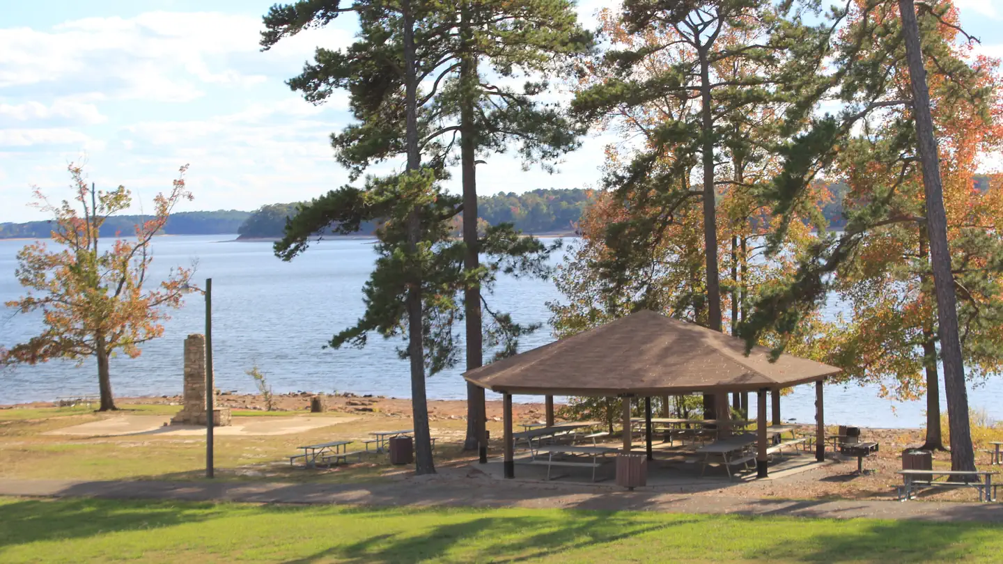
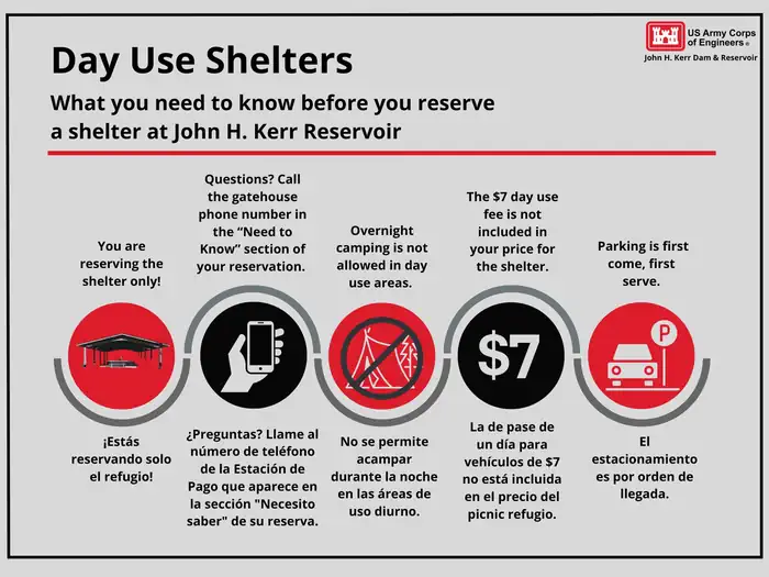
Overview Welcome to John H. Kerr Dam and Reservoir! Kerr Lake is a 50,000-acre lake that extends 39 miles up the wooded, cove-studded shoreline of the Roanoke River in Virginia and North Carolina. Kerr Reservoir, also known as Buggs Island Lake, was created with the construction of the John H. Kerr Dam in 1952. Its 800 miles of wooded shoreline stretch across six counties and two states and offer countless recreation opportunities for visitors. The Old Picnic Area (OPA) is a day use area open to the public but also avalible for reservations on Recreation.gov. Looking for a great view for a wedding or a large area for a reuinion? The Old Picnic Area is a great option! It has a paved parking lot and road way. There is a shelter with electricity and a water spigot located near by the shelter. Recreation Public lands around the lake are open to hunting with appropriate state licenses. Game species include whitetail deer, wild turkey, bobwhite quail, mourning dove, gray squirrel, cottontail rabbit, fox and raccoon. Resident waterfowl species include wood duck, black duck, mallard and Canadian geese. There are 26 Wildlife Management Areas around the lake that provide year-round opportunities for hiking, wildlife viewing, birding and more. Buggs Island, located immediately below the dam, attracts migrating bald eagles in the winter and osprey in the summer, as well as gulls, great blue herons, waterfowl and the occasional river otter. Several trails are available for hiking and biking. The 1.5-mile Liberty Nature Trail and 5.5-mile Robert Munford Trail both offer hikes within a short drive. The lake is widely known for fishing, with large-mouth bass, striped bass, crappie and flathead catfish available. Virginia Department of Game and Inland Fisheries regulate hunting and fishing on the Virginia side of Kerr Lake. Facilities The Old Picnic Area (OPA) has a wooden shelter with electricity for small items such as fans and lights. There is a water spigot located near the shelter. Trash cans are located all throughout the area. This area is located behind a locked gate. There is one vault toilet located within the park. Natural Features The Old Picnic Area (OPA) is located right next to a very sandy beach area perfect for fishing. There are trees to create shade and a clear grassy area for games for the family. Bald Eagles can be seen year round at the OPA. Contact Info For local information, please call (434) 738-0059 or call (434) 738-6143 for general information. Nearby Attractions Located right across the road, visitors will find the Joseph S.J. Tanner II Environmental Education Center. The center has interpretive programs and exhibits for the public from Memorial Day through Labor Day, on Saturdays and Sundays. Gas, groceries, firewood and restaurants are located within 2 miles and also within 20 minutes in Boydton and South Hill, Virginia.
From the managing agency.
Is Old Picnic Area (John H Kerr) free?
We do not have a fee on record for Old Picnic Area (John H Kerr). Confirm the cost locally before you go.
How do I get to Old Picnic Area (John H Kerr)?
Old Picnic Area (John H Kerr) is at 36.5991, -78.3053. We do not hold written directions for this one, so navigate to the coordinates.
Nearby
- Tailrace Park0.3 mi
- North Bend Park OSAGE Picnic Shelter0.4 mi
- NORTH BEND PARK1.4 mi
- Palmer Point Park2.5 mi
- Grassy Creek Park6.4 mi
- Ivy Hill Park7.4 mi
- Rudds Creek Rec. Area8.4 mi
- Rudds Creek Rec Area Picnic Shelter8.6 mi
No other services within 50 mi on the record.
SourceSource data is agency published. Last synced September 19, 2026. Community reports and photos are submitted by travelers and are not verified by the agency.
