
LITTCARR CAMPGROUND
Campground · Fee not listed
Fast facts
- Cost
- Not listed. Check locally.
- Type
- Campground
- Phone
- 606-642-3052
- Coordinates
- 37.2375, -82.9497
- Last verified
- September 19, 2026
About this place
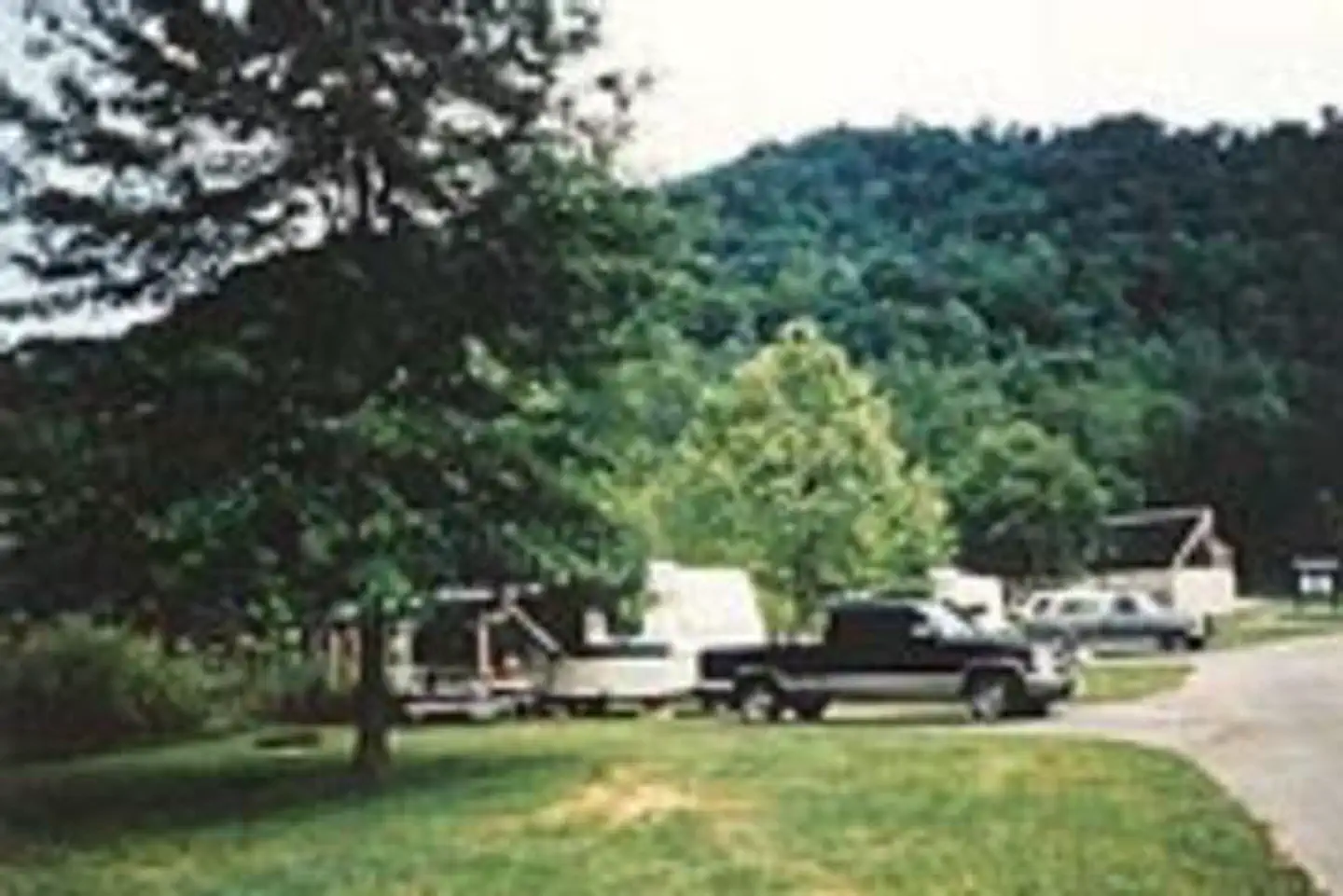
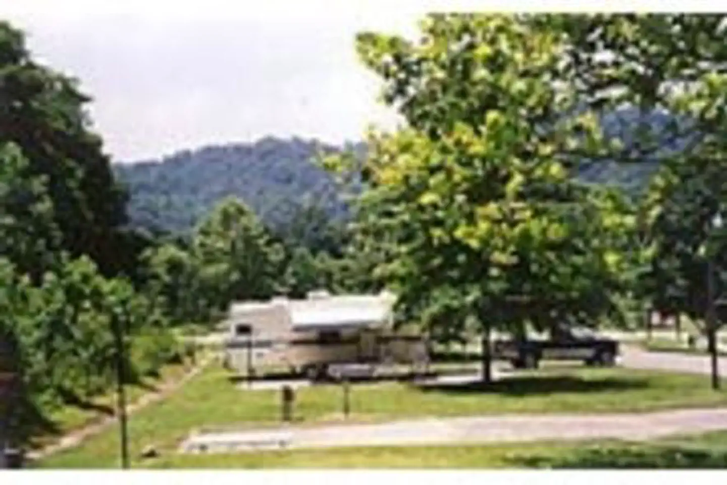
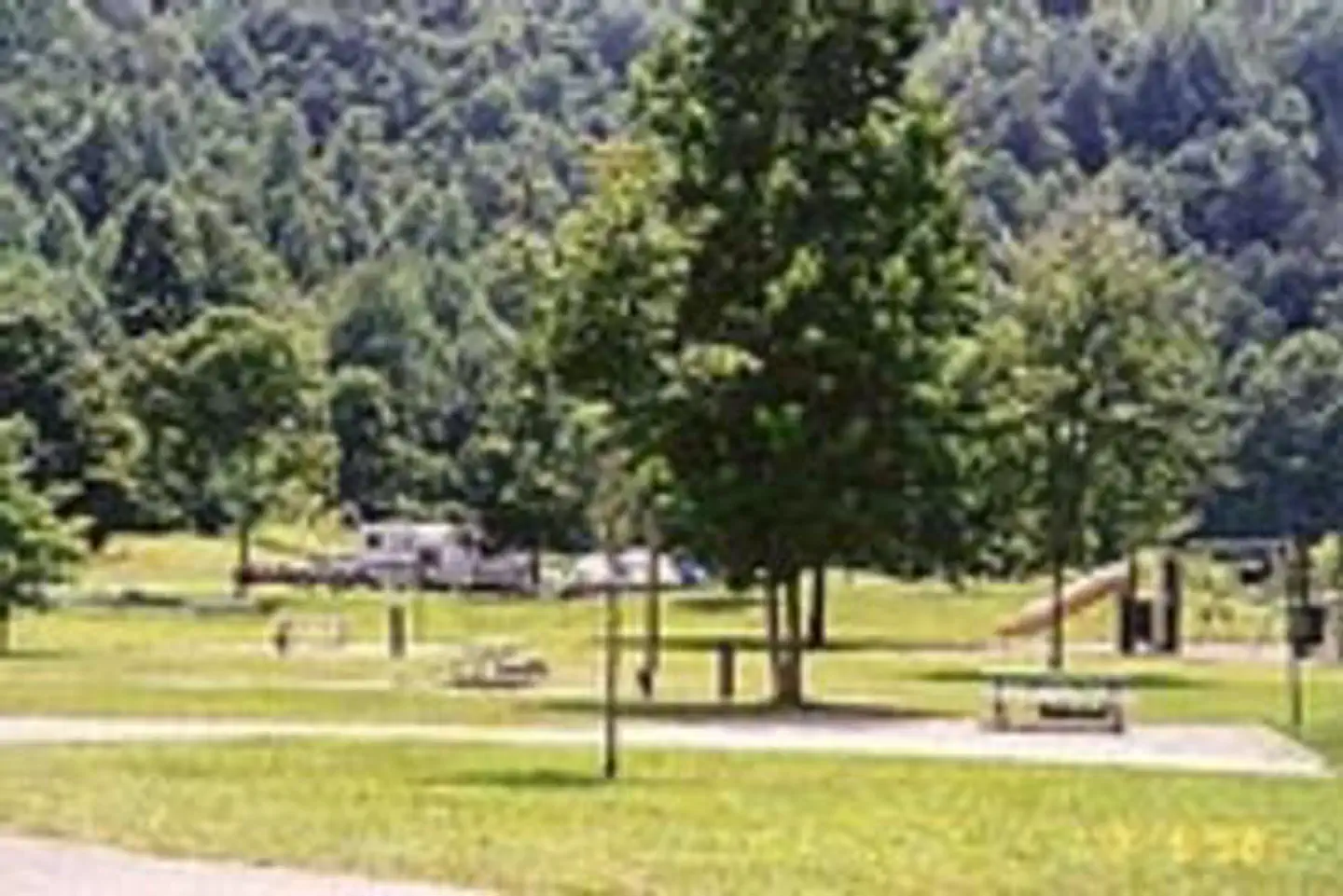
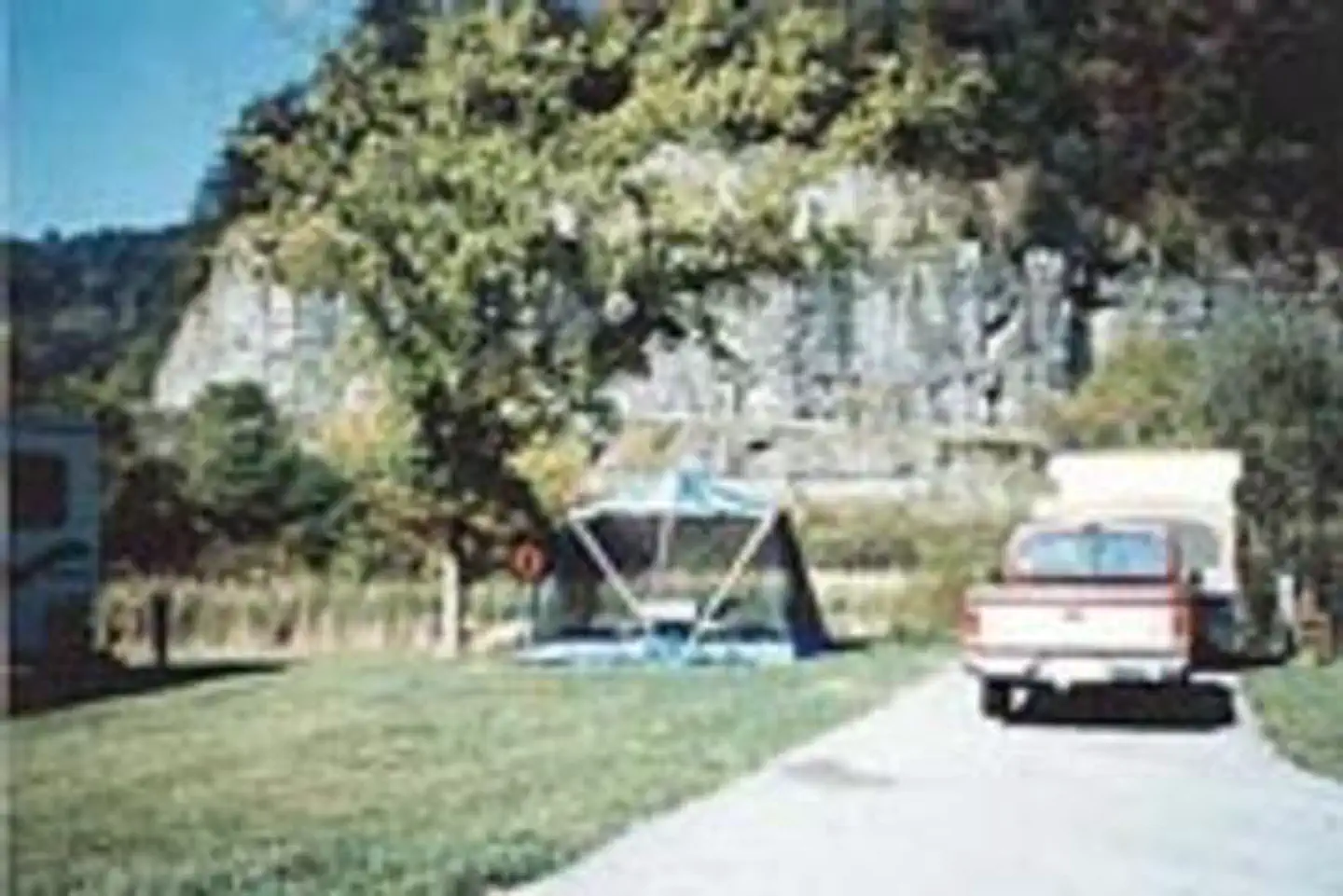
Overview Littcarr Campground is located on the shores of Carr Creek Lake in southeastern Kentucky's mountainous region. The area provides an excellent atmosphere for camping, fishing, boating and enjoying the natural setting. Recreation The lake offers boating, water skiing and swimming. Anglers can fish for crappie, bass, bluegill and walleye. A short nature trail for hiking is located in the Dam/Tailwater area. For a bit more adventure, the six-mile Sugar Branch Trail begins at the dam and ends at Sugar Lake Road. Facilities The campground offers 45 sites with electric and water hookups. Amenities include flush toilets, showers, drinking water, laundry facilities and a dump station. For family-friendly entertainment, two playgrounds, a picnic shelter, horseshoe pits, and basketball and shuffleboard courts are also on-site. Natural Features Carr Creek Lake is situated in a scenic sloping landscape heavily forested with a wide variety of hardwood and pine trees. An array of songbirds and waterfowl inhabit the area's marshlands. Contact Info For facility specific information, please call (606) 288-5471. Nearby Attractions Nearby attractions include Daniel Boone National Forest, Lilley Cornett Woods, Bad Branch Falls Nature Preserve, Red River Gorge Natural Scenic Area, Natural Bridge State Park and Buckhorn Lake.
From the managing agency.
Is LITTCARR CAMPGROUND free?
We do not have a fee on record for LITTCARR CAMPGROUND. Confirm the cost locally before you go.
How do I get to LITTCARR CAMPGROUND?
LITTCARR CAMPGROUND is at 37.2375, -82.9497. We do not hold written directions for this one, so navigate to the coordinates.
Nearby
- CARR CREEK LAKE SHELTERS4.7 mi
- Cane Patch Campground17.6 mi
- PHILLIP'S CREEK GROUP PICNIC AREA17.8 mi
- Laurel Fork Primitive Camp18.3 mi
- TRACE BRANCH CAMPGROUND23.3 mi
- POUND RIVER CAMPGROUND (VA)28.2 mi
- Buckhorn Day Use29.7 mi
- BUCKHORN CAMPGROUND29.9 mi
No other services within 50 mi on the record.
SourceSource data is agency published. Last synced September 19, 2026. Community reports and photos are submitted by travelers and are not verified by the agency.
