
Westwater Group Site (Ranger Station)
Campground · Fee
Fast facts
- Cost
- Fee charged
- Type
- Campground
- Phone
- 435-259-2100
- Coordinates
- 39.0888, -109.1040
- Last verified
- September 19, 2026
About this place
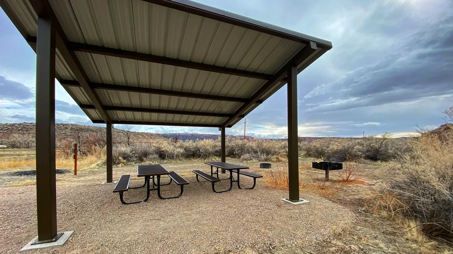
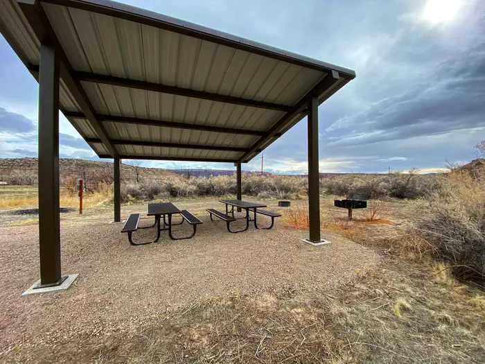
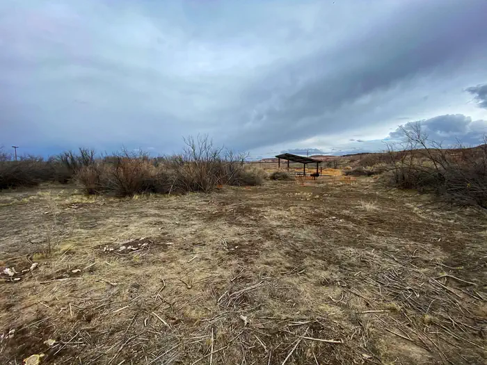
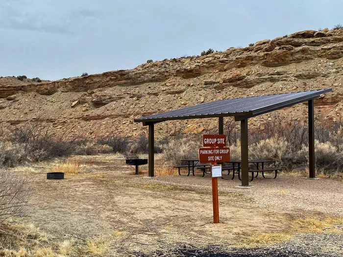
Overview Welcome to the wild and remote canyons and rivers of Eastern Utah. The Westwater Group Site is located next to the Westwater Ranger Station; the take-out for the Ruby-Horsethief and put-in for the Westwater Canyon sections of the Colorado River. This site is ideal for large groups looking to camp along the river. Recreation The Colorado River is known for extraordinary boating trips including the Ruby-Horsethief section up-river of Westwater Canyon and the Cataract Canyon and Grand Canyon sections downstream. The Ruby-Horsethief section of the Colorado River, from Loma, Colorado, to Westwater, Utah, is a 25-mile stretch of mostly flat-water with sections of Class I and II rapids. This section of the Colorado runs through beautiful red rock canyons and has many day hiking opportunities offering both solitude and exploration. Westwater Canyon offers boating excitement for experienced adventurers to test their skills navigating 11 named rapids ranging in difficulty from class I to class IV. While boating down the canyon, the area offers views of incredible geology and day hiking with glimpses of abandoned settler cabins and caves. Approximately 10,000 people float this section of the Colorado River each year. The 17-mile stretch is surrounded by the Westwater Wilderness Study Area. North of the site are many motorized and non-motorized trails. These trails include Kokopelli’s Trail , one of Colorado's and Utah's premiere mountain bike trails. It stretches 140 miles from Loma, CO to Moab, UT with elevations that rise to 8,400 feet and consists of four-wheel-drive roads and single-track trails. Facilities The group site includes a shade shelter with picnic tables, a fire ring, and a vault toilet where groups of up to 30 people can gather. There are parking spaces for up to 10 vehicles. Natural Features The site is adjacent to the Colorado River as it meanders through a valley. Views of Navajo Sandstone walls surrounding the valley can be seen from the site. Nearby Attractions The town of Moab, UT, Canyonlands National Park, and Arches National Park are located approximately 70 miles to the southwest. The cities of Grand Junction and Fruita, CO along with McInnis Canyons National Conservation Area and Colorado National Monument are located approximately 35 miles to the east. Charges & Cancellations Please contact the BLM Moab Field Office for assistance with changes and cancellations at 435-259-2100. Changes You can make changes to a reservation through your online Recreation.gov user account any time prior to the arrival/first date of the reservation. There is a $10 change fee If you wish to change to dates entirely outside of the original reservation dates. There is no change fee if you wish to extend or shorten the original reservation dates as long as the changes include dates from the original reservation. You cannot make changes to your reservation after the arrival/first day through your Recreation.gov account. However, the BLM Moab Field Office may be able to assist you, 435-259-2100. For reservations with dates at the end of the available booking window (a.k.a. sliding window), you will not be able to make changes or cancellations until the site has been available to the general public for four days. Cancellations Please cancel your reservation if you do not plan to use it. This opens highly sought-after campsites for others to reserve. You can cancel your reservation online through your Recreation.gov user account or through the call center (call center incurs an additional fee). You may also contact the BLM Moab Field Office for assistance. A $10 service fee will be withheld from any refund for a cancellation. Late Cancellations A late cancellation occurs less the 14 days before the arrival/first date of the reservation (a.k.a. cut-off window). Late cancellations will incur a $10.00 service fee AND forfeit the first night's use fee. Early Departures If you spend at least one night and then leave prior to the scheduled departure check-out date, please contact the BLM Moab Field Office (435-259-2100) to open the remaining nights for others to use. You will not be able to cancel these nights through your Recreation.gov account. You will be eligible for a partial refund of the nights AFTER you depart that you did not use. If you depart after the facility check-out time, you will not be eligible for a refund for that night No-Shows A No Show occurs if you do not arrive at your campsite or cancel your reservation by check-out time (Noon) on the day after the scheduled arrival date. Staff will hold a campsite until check-out time (Noon) on the day following the arrival date. No-shows are assessed a $20.00 Recreation.gov service fee and forfeit the first night’s recreation fee. Refunds You can submit a refund request through your Recreation.gov account within 7 days of the departure/end date of your reservation. Applicable fees, such as the Recreation.gov reservation fees, service/cancellation fees, lottery application fees, and change fees, are non-refundable. Refunds cannot be issued to any card other than the one used to pay. In the event of an emergency closure, all fees will be refunded. Attempts will be made to notify you using the contact information within your Recreation.gov customer profile. Interagency Pass Discounts Interagency Pass discounts do not apply to group campsite reservations.
From the managing agency.
Is this site free?
No. this site charges a fee.
How do I get to this site?
this site is at 39.0888, -109.1040. We do not hold written directions for this one, so navigate to the coordinates.
Nearby
- Westwater Campground (Ranger Station)0.1 mi
- May Flats3.7 mi
- Knowles 205.0 mi
- Knowles 195.0 mi
- Knowles 55.1 mi
- Knowles 65.1 mi
- Knowles 35.1 mi
- Knowles 25.1 mi
No other services within 50 mi on the record.
SourceSource data is agency published. Last synced September 19, 2026. Community reports and photos are submitted by travelers and are not verified by the agency.
