
UINTA RIVER GROUP
Campground · Fee not listed
Fast facts
- Cost
- Not listed. Check locally.
- Type
- Campground
- Phone
- 435-722-5018
- Nearest dump station
- Lily Lake Comfort Station · 48.9 mi
- Coordinates
- 40.5161, -110.0372
- Last verified
- September 19, 2026
About this place
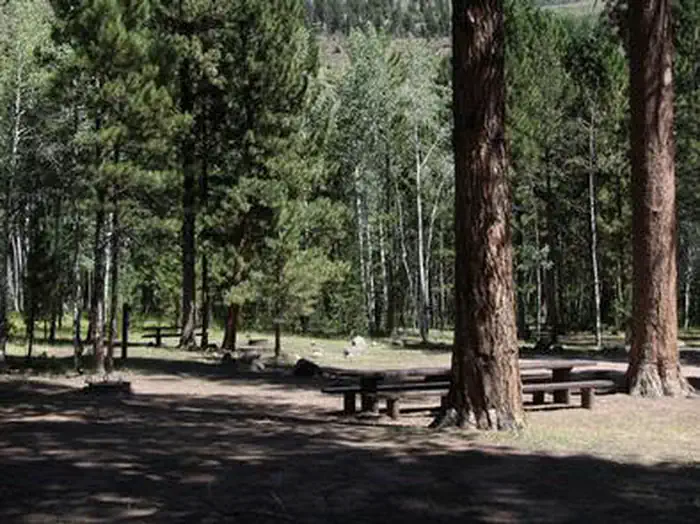
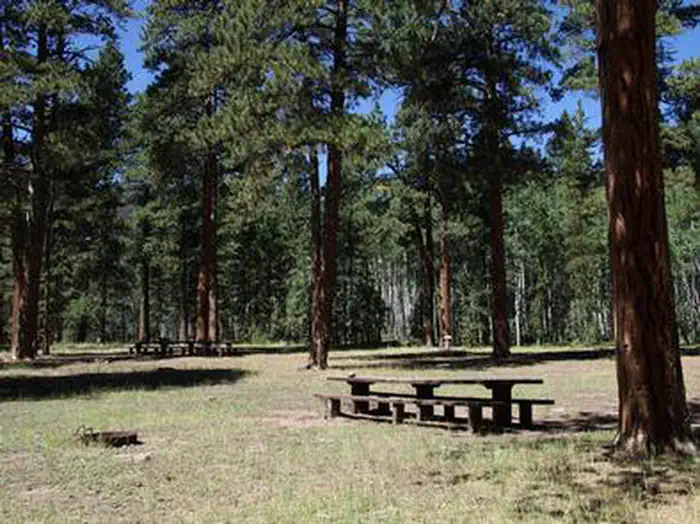
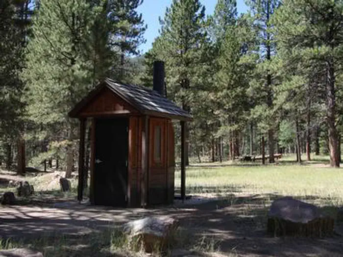
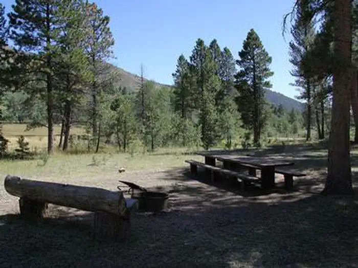
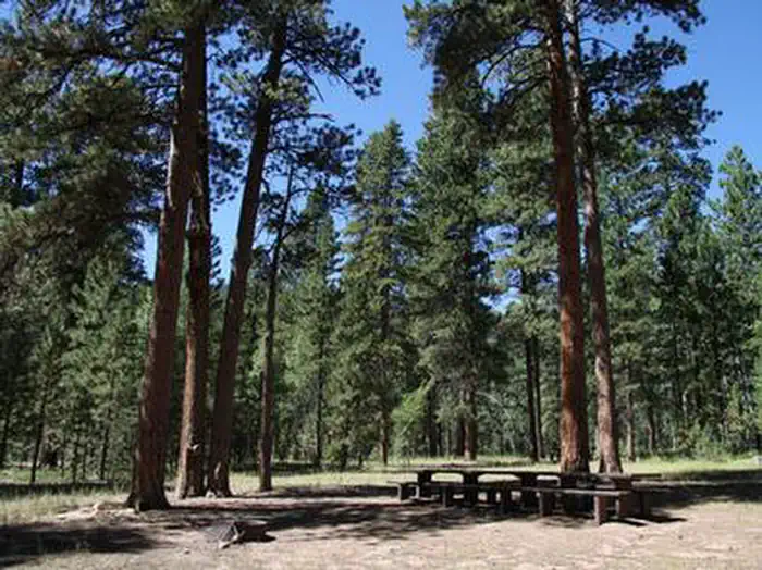
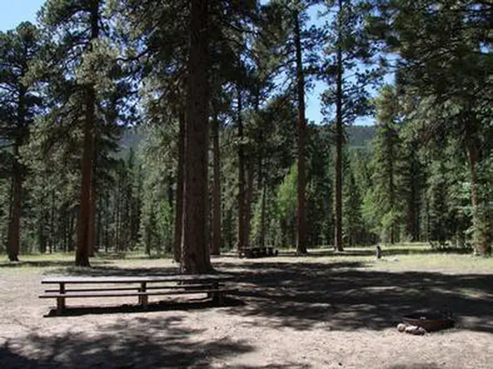
Overview Uinta River Group Campground is located about 25 miles from Roosevelt near the Uinta River at an elevation of 7,600 feet. Visitors come to enjoy the area's fishing and trail opportunities. Recreation Anglers fish for rainbow, brown, brook and cutthroat trout on the Uinta River. The Uinta River Trailhead is just up the road, providing access to the Chain Lakes region of the High Uintas Wilderness. Hiking, backpacking and horseback riding are popular in the wilderness area, and numerous sparkling lakes provide great backcountry fishing opportunities. Facilities The campground contains one large group site that can accommodate up to 150 people. Several picnic tables and campfire rings with grills are scattered throughout the area. Vault toilets and trash collection are provided. The available water is not potable. Campers must bring their own supply. Roads and parking spurs are gravel. Natural Features The campground lies in an open meadow beneath towering Ponderosa pines. Summer wildflowers and wildlife are abundant.
From the managing agency.
Is UINTA RIVER GROUP free?
We do not have a fee on record for UINTA RIVER GROUP. Confirm the cost locally before you go.
How do I get to UINTA RIVER GROUP?
UINTA RIVER GROUP is at 40.5161, -110.0372. We do not hold written directions for this one, so navigate to the coordinates.
Nearby
SourceSource data is agency published. Last synced September 19, 2026. Community reports and photos are submitted by travelers and are not verified by the agency.
